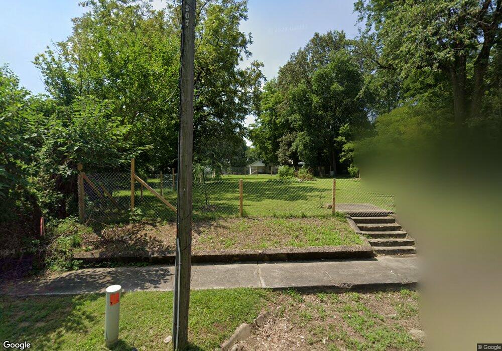
507 Krewson St Jonesboro, AR 72401
Estimated Value: $20,000 - $219,000
--
Bed
--
Bath
--
Sq Ft
9,104
Sq Ft Lot
About This Home
This home is located at 507 Krewson St, Jonesboro, AR 72401 and is currently estimated at $119,500. 507 Krewson St is a home located in Craighead County with nearby schools including Annie Camp Junior High School, The Academies at Jonesboro High School, and Montessori School of Jonesboro.
Ownership History
Date
Name
Owned For
Owner Type
Purchase Details
Closed on
Jun 16, 2006
Sold by
Robinson Jerene Croft
Bought by
Farmer Timothy Wayne and Farmer Sharon Rosemary
Current Estimated Value
Home Financials for this Owner
Home Financials are based on the most recent Mortgage that was taken out on this home.
Original Mortgage
$48,450
Interest Rate
6.67%
Mortgage Type
Future Advance Clause Open End Mortgage
Purchase Details
Closed on
Jul 8, 1996
Bought by
Mcginnis
Purchase Details
Closed on
May 6, 1993
Bought by
Croft Trust
Create a Home Valuation Report for This Property
The Home Valuation Report is an in-depth analysis detailing your home's value as well as a comparison with similar homes in the area
Home Values in the Area
Average Home Value in this Area
Purchase History
| Date | Buyer | Sale Price | Title Company |
|---|---|---|---|
| Farmer Timothy Wayne | -- | None Available | |
| Mcginnis | $33,000 | -- | |
| Croft Trust | -- | -- |
Source: Public Records
Mortgage History
| Date | Status | Borrower | Loan Amount |
|---|---|---|---|
| Closed | Farmer Timothy Wayne | $48,450 |
Source: Public Records
Tax History Compared to Growth
Tax History
| Year | Tax Paid | Tax Assessment Tax Assessment Total Assessment is a certain percentage of the fair market value that is determined by local assessors to be the total taxable value of land and additions on the property. | Land | Improvement |
|---|---|---|---|---|
| 2025 | $66 | $2,600 | $2,600 | -- |
| 2024 | $66 | $2,600 | $2,600 | $0 |
| 2023 | $59 | $2,600 | $2,600 | $0 |
| 2022 | $54 | $2,600 | $2,600 | $0 |
| 2021 | $51 | $1,200 | $1,200 | $0 |
| 2020 | $51 | $1,200 | $1,200 | $0 |
| 2019 | $51 | $1,200 | $1,200 | $0 |
| 2018 | $51 | $1,200 | $1,200 | $0 |
| 2017 | $51 | $1,200 | $1,200 | $0 |
| 2016 | $51 | $1,200 | $1,200 | $0 |
| 2015 | $315 | $7,470 | $1,200 | $6,270 |
| 2014 | $315 | $7,470 | $1,200 | $6,270 |
Source: Public Records
Map
Nearby Homes
- 411 Krewson St
- 410 W Monroe Ave
- 621 Krewson St
- 311 Madison St
- 226 Union St
- 225 S Main St
- 311 S Main St
- 157 Cr 4243
- 509 S Mcclure St
- 725 Burke Ave
- 823 Burke Ave
- 800 W Washington Ave
- 801 W Monroe Ave
- 644 W Matthews Ave
- 720 W Matthews Ave
- 508 Vine St
- 636 Warner Ave
- 537 Warner Ave
- 801 S Culberhouse St
- 1001 W Huntington Ave
- 601 Krewson St
- 508 W Huntington Ave
- 510 W Huntington Ave
- 415 Krewson St
- 420 W Huntington Ave
- 523 Krewson St
- 500 W Huntington Ave
- 504 Krewson St
- 510 Krewson St
- 527 Krewson St
- 522 W Huntington Ave
- 414 Krewson St
- 0 Sharp St
- 206,204,202 Sharp St
- 410 Krewson St
- 526 W Huntington Ave
- 201 Sharp St
- 402 Krewson St
- 202 Sharp St
- 517 W Huntington Ave