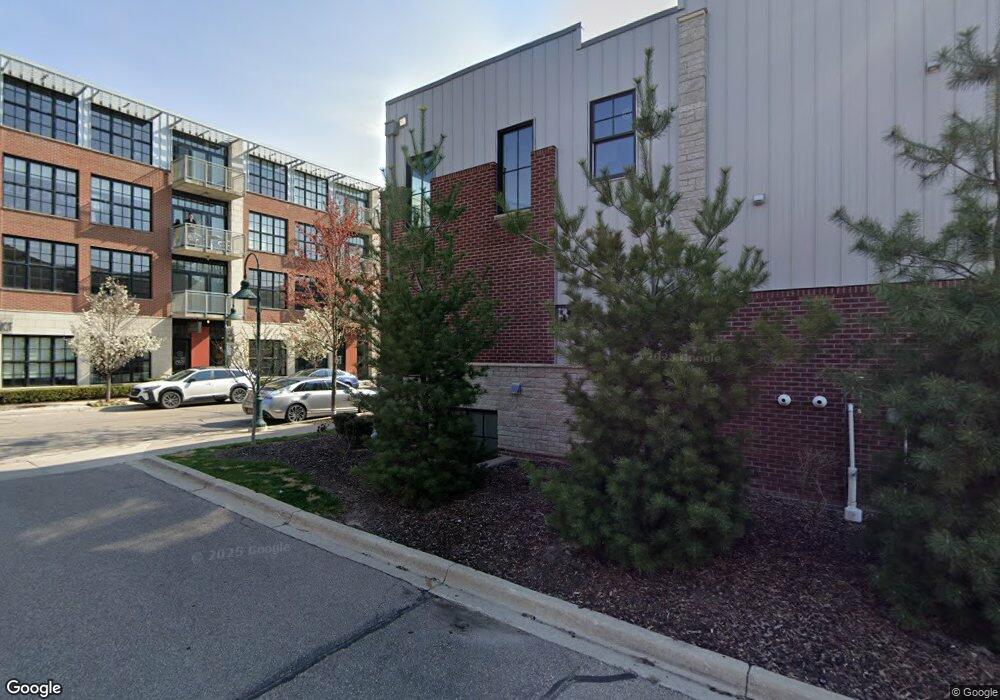
507 Lewis St Birmingham, MI 48009
Estimated Value: $527,859 - $676,000
2
Beds
3
Baths
1,670
Sq Ft
$368/Sq Ft
Est. Value
About This Home
This home is located at 507 Lewis St, Birmingham, MI 48009 and is currently estimated at $614,715, approximately $368 per square foot. 507 Lewis St is a home located in Oakland County with nearby schools including Pembroke Elementary School, Derby Middle School, and Ernest W. Seaholm High School.
Ownership History
Date
Name
Owned For
Owner Type
Purchase Details
Closed on
Nov 3, 2011
Sold by
Re Fund Eaton I Llc
Bought by
Capraro Michael P
Current Estimated Value
Purchase Details
Closed on
Oct 21, 2010
Sold by
Hitchingham Development Co Llc
Bought by
Re Fund Eaton 1 Llc
Create a Home Valuation Report for This Property
The Home Valuation Report is an in-depth analysis detailing your home's value as well as a comparison with similar homes in the area
Home Values in the Area
Average Home Value in this Area
Purchase History
| Date | Buyer | Sale Price | Title Company |
|---|---|---|---|
| Capraro Michael P | $195,345 | Fidelity Natl Title Ins Co | |
| Re Fund Eaton 1 Llc | -- | Nova Title Agency Llc |
Source: Public Records
Tax History Compared to Growth
Tax History
| Year | Tax Paid | Tax Assessment Tax Assessment Total Assessment is a certain percentage of the fair market value that is determined by local assessors to be the total taxable value of land and additions on the property. | Land | Improvement |
|---|---|---|---|---|
| 2024 | $4,616 | $210,990 | $0 | $0 |
| 2023 | $4,423 | $199,410 | $0 | $0 |
| 2022 | $4,742 | $189,710 | $0 | $0 |
| 2021 | $4,784 | $188,230 | $0 | $0 |
| 2020 | $4,263 | $189,890 | $0 | $0 |
| 2019 | $4,824 | $186,060 | $0 | $0 |
| 2018 | $4,788 | $172,130 | $0 | $0 |
| 2017 | $4,780 | $169,670 | $0 | $0 |
| 2016 | $4,789 | $166,460 | $0 | $0 |
| 2015 | -- | $142,650 | $0 | $0 |
| 2014 | -- | $119,620 | $0 | $0 |
| 2011 | -- | $63,690 | $0 | $0 |
Source: Public Records
Map
Nearby Homes
- 2051 Villa Rd Unit 304
- 2051 Villa Rd Unit 302
- 1982 Haynes St
- 3237 Newbury Place
- 1777 Hazel St
- 1751 Villa Rd
- 1673 Hazel St
- 1963 Cole St
- 3178 Camden Dr Unit 83
- 3266 Camden Dr
- 3286 Camden Dr Unit 132
- 3274 Camden Dr Unit 135
- 3293 Newbury Place Unit 28
- 3285 Newbury Place
- 3253 Newbury Place Unit 19
- 1393 Raliegh Place Unit 93
- 1462 Devon Ln Unit 126
- 1438 Devon Ln
- 1982 E Lincoln St
- 1509 Yorkshire Rd
- 507 Lewis St Unit 65
- 525 Lewis St Unit 56
- 501 Lewis St Unit 68
- 511 Lewis St Unit 63
- 533 Lewis St Unit 52
- 515 Lewis St Unit 61
- 2021 Hazel St Unit B
- 2021 Hazel St Unit B
- 2266 Attard Unit Bldg-Unit
- 2009 Hazel St Unit 30
- 501 Lewis St
- 503 Lewis St
- 505 Lewis St
- 509 Lewis St
- 511 Lewis St
- 513 Lewis St
- 515 Lewis St
- 517 Lewis St
- 2012 Hazel St Unit 74
- 2010 Hazel St