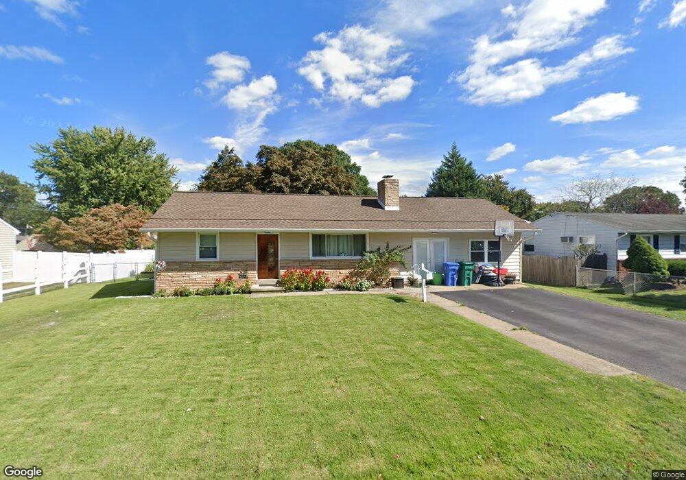
507 Logan Ave Croydon, PA 19021
Estimated Value: $305,000 - $351,817
3
Beds
1
Bath
1,118
Sq Ft
$293/Sq Ft
Est. Value
About This Home
This home is located at 507 Logan Ave, Croydon, PA 19021 and is currently estimated at $327,204, approximately $292 per square foot. 507 Logan Ave is a home located in Bucks County with nearby schools including Truman Senior High School, Doane Academy, and St. Mark Elementary School.
Ownership History
Date
Name
Owned For
Owner Type
Purchase Details
Closed on
Mar 26, 1997
Sold by
Brenner Wayne
Bought by
Marshall Richard M
Current Estimated Value
Home Financials for this Owner
Home Financials are based on the most recent Mortgage that was taken out on this home.
Original Mortgage
$91,820
Interest Rate
7.5%
Mortgage Type
FHA
Create a Home Valuation Report for This Property
The Home Valuation Report is an in-depth analysis detailing your home's value as well as a comparison with similar homes in the area
Home Values in the Area
Average Home Value in this Area
Purchase History
| Date | Buyer | Sale Price | Title Company |
|---|---|---|---|
| Marshall Richard M | $91,900 | -- |
Source: Public Records
Mortgage History
| Date | Status | Borrower | Loan Amount |
|---|---|---|---|
| Previous Owner | Marshall Richard M | $91,820 |
Source: Public Records
Tax History Compared to Growth
Tax History
| Year | Tax Paid | Tax Assessment Tax Assessment Total Assessment is a certain percentage of the fair market value that is determined by local assessors to be the total taxable value of land and additions on the property. | Land | Improvement |
|---|---|---|---|---|
| 2025 | $4,454 | $16,400 | $3,720 | $12,680 |
| 2024 | $4,454 | $16,400 | $3,720 | $12,680 |
| 2023 | $4,421 | $16,400 | $3,720 | $12,680 |
| 2022 | $4,421 | $16,400 | $3,720 | $12,680 |
| 2021 | $4,421 | $16,400 | $3,720 | $12,680 |
| 2020 | $4,421 | $16,400 | $3,720 | $12,680 |
| 2019 | $4,405 | $16,400 | $3,720 | $12,680 |
| 2018 | $4,334 | $16,400 | $3,720 | $12,680 |
| 2017 | $4,268 | $16,400 | $3,720 | $12,680 |
| 2016 | $4,268 | $16,400 | $3,720 | $12,680 |
| 2015 | $3,036 | $16,400 | $3,720 | $12,680 |
| 2014 | $3,036 | $16,400 | $3,720 | $12,680 |
Source: Public Records
Map
Nearby Homes
- 2307 State Rd
- 820 Keystone St
- 825 Tulip Ave
- 2057 Garfield Ave
- 200 Janet Ave
- 2057 High St
- 500 Wyoming Ave
- 2320 Dixon Ave
- 2349 Dixon Ave
- 2133 Maple Ave
- 1719 Dixon Ave
- 1020 Hilary Ave
- 1012 Franklin Ave
- 1 McLevins Ct
- 1005 Maryland Ave
- 1000 Main Ave
- 1041 Rosa Ave
- 910 Magnolia Ave
- 3006 Dixon Ave
- 2915 Lawnton Ave