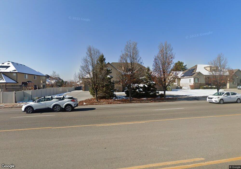
507 N 1100 E American Fork, UT 84003
Estimated Value: $857,000 - $1,110,000
6
Beds
5
Baths
5,188
Sq Ft
$186/Sq Ft
Est. Value
About This Home
This home is located at 507 N 1100 E, American Fork, UT 84003 and is currently estimated at $964,300, approximately $185 per square foot. 507 N 1100 E is a home located in Utah County with nearby schools including Barratt Elementary School, American Fork Junior High School, and American Fork High School.
Ownership History
Date
Name
Owned For
Owner Type
Purchase Details
Closed on
Jun 8, 2023
Sold by
Forest Creek Llc
Bought by
Bromiley Brandon and Bromiley Adriana Victoria
Current Estimated Value
Home Financials for this Owner
Home Financials are based on the most recent Mortgage that was taken out on this home.
Original Mortgage
$620,000
Outstanding Balance
$603,542
Interest Rate
6.43%
Mortgage Type
Construction
Estimated Equity
$360,758
Purchase Details
Closed on
Feb 8, 2019
Sold by
The Bank Of New York Mellon
Bought by
Forest Creek Llc
Purchase Details
Closed on
Sep 5, 2018
Sold by
Durfee Jeremiah
Bought by
The Bank Of New York Mellon and The Bank Of New York
Purchase Details
Closed on
Mar 13, 2007
Sold by
Durfee Jeremiah
Bought by
Durfee Jeremiah and Durfee Lisa
Home Financials for this Owner
Home Financials are based on the most recent Mortgage that was taken out on this home.
Original Mortgage
$457,600
Interest Rate
6.29%
Mortgage Type
New Conventional
Purchase Details
Closed on
Mar 12, 2007
Sold by
Curtis Tony
Bought by
Durfee Jeremiah
Home Financials for this Owner
Home Financials are based on the most recent Mortgage that was taken out on this home.
Original Mortgage
$457,600
Interest Rate
6.29%
Mortgage Type
New Conventional
Purchase Details
Closed on
Dec 30, 2005
Sold by
Sessions Andy
Bought by
Curtis Tony
Home Financials for this Owner
Home Financials are based on the most recent Mortgage that was taken out on this home.
Original Mortgage
$360,000
Interest Rate
6.27%
Mortgage Type
Credit Line Revolving
Purchase Details
Closed on
Sep 16, 2005
Sold by
Three Rivers Development Llc
Bought by
Sessions Andy
Home Financials for this Owner
Home Financials are based on the most recent Mortgage that was taken out on this home.
Original Mortgage
$110,000
Interest Rate
5.63%
Mortgage Type
Fannie Mae Freddie Mac
Create a Home Valuation Report for This Property
The Home Valuation Report is an in-depth analysis detailing your home's value as well as a comparison with similar homes in the area
Home Values in the Area
Average Home Value in this Area
Purchase History
| Date | Buyer | Sale Price | Title Company |
|---|---|---|---|
| Bromiley Brandon | -- | Union Title | |
| Forest Creek Llc | $441,000 | Servicelink Title Co | |
| The Bank Of New York Mellon | $717,317 | E Title Ins Agency | |
| Durfee Jeremiah | -- | Sundance Title Insurance Ag | |
| Durfee Jeremiah | -- | Inwest Title Services Inc | |
| Curtis Tony | -- | Equity Title | |
| Sessions Andy | -- | Equity Title Orem Blvd |
Source: Public Records
Mortgage History
| Date | Status | Borrower | Loan Amount |
|---|---|---|---|
| Open | Bromiley Brandon | $620,000 | |
| Previous Owner | Durfee Jeremiah | $457,600 | |
| Previous Owner | Durfee Jeremiah | $114,400 | |
| Previous Owner | Curtis Tony | $360,000 | |
| Previous Owner | Sessions Andy | $110,000 |
Source: Public Records
Tax History Compared to Growth
Tax History
| Year | Tax Paid | Tax Assessment Tax Assessment Total Assessment is a certain percentage of the fair market value that is determined by local assessors to be the total taxable value of land and additions on the property. | Land | Improvement |
|---|---|---|---|---|
| 2025 | $4,497 | $1,025,000 | $278,800 | $746,200 |
| 2024 | $4,497 | $499,675 | $0 | $0 |
| 2023 | $4,282 | $504,460 | $0 | $0 |
| 2022 | $4,158 | $483,340 | $0 | $0 |
| 2021 | $3,644 | $661,600 | $195,200 | $466,400 |
| 2020 | $2,969 | $522,800 | $180,700 | $342,100 |
| 2019 | $2,828 | $515,100 | $173,000 | $342,100 |
| 2018 | $2,869 | $499,700 | $157,600 | $342,100 |
| 2017 | $2,880 | $270,655 | $0 | $0 |
| 2016 | $3,036 | $265,100 | $0 | $0 |
| 2015 | $2,853 | $236,445 | $0 | $0 |
| 2014 | $2,480 | $202,730 | $0 | $0 |
Source: Public Records
Map
Nearby Homes
- 1121 E 580 N
- 1278 E 530 N
- 1155 E 300 N
- 649 N 1280 E
- 598 N 1280 E
- 636 N 1280 E
- 2254 N 1560 W
- 769 N 1280 E
- 290 Chipman Ave
- 1141 E 50 N
- 1228 E 1030 N
- 410 N 600 E
- The Christine Plan at Autumn Crest
- The Annie Plan at Autumn Crest
- The Avery Plan at Autumn Crest
- The McKenzie Plan at Autumn Crest
- The Madison Plan at Autumn Crest
- The Roosevelt Plan at Autumn Crest
- The Michelle Plan at Autumn Crest
- 1053 N 930 E Unit 73
- 1078 E 530 N Unit 326
- 508 N 1060 E
- 508 N 1060 E Unit 10
- 1072 E 530 N
- 1097 E 490 N
- 525 N 1100 E
- 1064 E 530 N Unit 324
- 1057 E 490 N
- 522 N 1060 E
- 522 N 1060 E Unit 8
- 512 N 1100 E Unit 307
- 1056 E 530 N Unit 373
- 543 N 1100 E
- 544 N 1060 E
- 505 N 1060 E
- 523 N 1060 E Unit 13
- 487 N 1120 E
- 467 N 1100 E
- 475 N 1100 E
- 1123 E 490 N