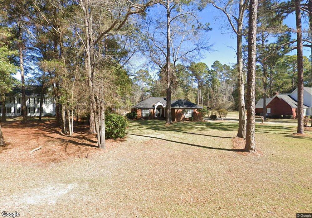
507 Northampton Rd Leesburg, GA 31763
Estimated Value: $237,000
4
Beds
2
Baths
1,703
Sq Ft
$139/Sq Ft
Est. Value
About This Home
This home is located at 507 Northampton Rd, Leesburg, GA 31763 and is currently priced at $237,000, approximately $139 per square foot. 507 Northampton Rd is a home located in Lee County with nearby schools including Kinchafoonee Primary School, Twin Oaks Elementary School, and Lee County Middle School East.
Ownership History
Date
Name
Owned For
Owner Type
Purchase Details
Closed on
Jun 27, 2008
Sold by
Floyd Jimmie Earl
Bought by
Dedge James Keith
Current Estimated Value
Home Financials for this Owner
Home Financials are based on the most recent Mortgage that was taken out on this home.
Original Mortgage
$136,000
Outstanding Balance
$87,782
Interest Rate
6.08%
Mortgage Type
New Conventional
Purchase Details
Closed on
Oct 1, 2002
Sold by
Henderson David W
Bought by
Floyd Jimmie E
Create a Home Valuation Report for This Property
The Home Valuation Report is an in-depth analysis detailing your home's value as well as a comparison with similar homes in the area
Home Values in the Area
Average Home Value in this Area
Purchase History
| Date | Buyer | Sale Price | Title Company |
|---|---|---|---|
| Dedge James Keith | $170,000 | -- | |
| Floyd Jimmie E | $137,000 | -- |
Source: Public Records
Mortgage History
| Date | Status | Borrower | Loan Amount |
|---|---|---|---|
| Open | Dedge James Keith | $136,000 |
Source: Public Records
Tax History Compared to Growth
Tax History
| Year | Tax Paid | Tax Assessment Tax Assessment Total Assessment is a certain percentage of the fair market value that is determined by local assessors to be the total taxable value of land and additions on the property. | Land | Improvement |
|---|---|---|---|---|
| 2021 | $1,981 | $70,160 | $12,000 | $58,160 |
| 2020 | $2,406 | $74,640 | $14,720 | $59,920 |
| 2019 | $2,449 | $74,640 | $14,720 | $59,920 |
| 2018 | $2,450 | $74,640 | $14,720 | $59,920 |
| 2017 | $2,319 | $74,640 | $14,720 | $59,920 |
| 2016 | $2,319 | $74,640 | $14,720 | $59,920 |
| 2015 | $2,020 | $64,924 | $12,800 | $52,124 |
| 2014 | $2,027 | $64,924 | $12,800 | $52,124 |
| 2013 | -- | $64,924 | $12,800 | $52,124 |
Source: Public Records
Map
Nearby Homes
- 501 Northampton Rd
- 179 St Clair Dr
- 272 Saint Clair Dr
- 108 Conoly St
- 118 Dove Ln
- 104 Wayside Ct
- 142 Leland Ferrell Dr
- 1239 Graves Springs Rd
- 104 Willard Ct
- 242 Thimblemill Dr
- 204 Southill Dr
- 214 Westfield Rd
- 1106 Forrester Pkwy
- 255 Stocks Dairy Rd
- 120 Kelly Ct
- 159 Bruner Ln
- 108 McDonald Ct
- 238 Long Pine Dr
- 121 Melrose Way
- 217 Long Pine Dr
- 513 Northampton Rd
- 519 Northampton Rd
- 529 Northampton Rd
- 494 Northampton Rd
- 0 Northampton Rd Unit 7384314
- 0 Northampton Rd Unit 7369760
- 0 Northampton Rd Unit 8465315
- 0 Northampton Rd Unit 7508018
- 0 Northampton Rd Unit 7225923
- 0 Northampton Rd
- 506 Northampton Rd
- 494 Northampton Rd
- 487 Northampton Rd
- 543 Northampton Rd
- 486 Northampton Rd
- 514 Northampton Rd
- 518 Northampton Rd
- 518 Northampton Rd
- 522 Northampton Rd
- 532 Northampton Rd