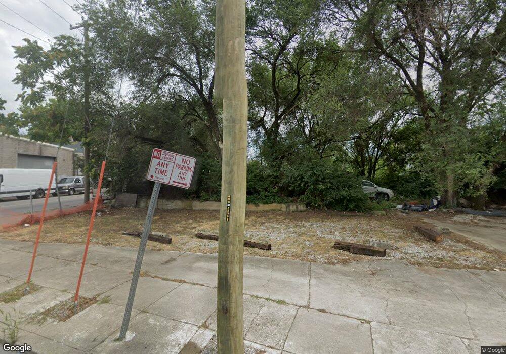
507 Oliver St Cincinnati, OH 45214
West End NeighborhoodEstimated Value: $174,216
--
Bed
--
Bath
--
Sq Ft
3,485
Sq Ft Lot
About This Home
This home is located at 507 Oliver St, Cincinnati, OH 45214 and is currently estimated at $174,216. 507 Oliver St is a home located in Hamilton County with nearby schools including Hays-Porter School, Robert A. Taft Information Technology High School, and Gilbert A. Dater High School.
Ownership History
Date
Name
Owned For
Owner Type
Purchase Details
Closed on
Nov 15, 2023
Sold by
Head James Willard
Bought by
Willie Otto Dotson
Current Estimated Value
Home Financials for this Owner
Home Financials are based on the most recent Mortgage that was taken out on this home.
Interest Rate
7.5%
Purchase Details
Closed on
Nov 14, 2023
Sold by
Head James Willard
Bought by
Dotson Willie Otto
Home Financials for this Owner
Home Financials are based on the most recent Mortgage that was taken out on this home.
Interest Rate
7.5%
Purchase Details
Closed on
Jun 10, 1999
Sold by
Estate Of Lawrence H Whelan
Bought by
Whelan Emma Jo
Purchase Details
Closed on
May 10, 1999
Sold by
Whelan Emma Jo
Bought by
Head James Willard
Create a Home Valuation Report for This Property
The Home Valuation Report is an in-depth analysis detailing your home's value as well as a comparison with similar homes in the area
Home Values in the Area
Average Home Value in this Area
Purchase History
| Date | Buyer | Sale Price | Title Company |
|---|---|---|---|
| Willie Otto Dotson | $7,000 | -- | |
| Dotson Willie Otto | -- | None Listed On Document | |
| Dotson Willie Otto | -- | None Listed On Document | |
| Whelan Emma Jo | -- | -- | |
| Head James Willard | $15,000 | -- |
Source: Public Records
Mortgage History
| Date | Status | Borrower | Loan Amount |
|---|---|---|---|
| Closed | Willie Otto Dotson | -- |
Source: Public Records
Tax History Compared to Growth
Tax History
| Year | Tax Paid | Tax Assessment Tax Assessment Total Assessment is a certain percentage of the fair market value that is determined by local assessors to be the total taxable value of land and additions on the property. | Land | Improvement |
|---|---|---|---|---|
| 2024 | $264 | $2,496 | $2,496 | -- |
| 2023 | $263 | $2,496 | $2,496 | $0 |
| 2022 | $300 | $2,671 | $2,671 | $0 |
| 2021 | $277 | $2,671 | $2,671 | $0 |
| 2020 | $277 | $2,671 | $2,671 | $0 |
| 2019 | $246 | $2,135 | $2,135 | $0 |
| 2018 | $246 | $2,135 | $2,135 | $0 |
| 2017 | $236 | $2,135 | $2,135 | $0 |
| 2016 | $244 | $2,549 | $2,181 | $368 |
| 2015 | $356 | $3,651 | $2,181 | $1,470 |
| 2014 | $357 | $3,651 | $2,181 | $1,470 |
| 2013 | $363 | $3,728 | $2,226 | $1,502 |
Source: Public Records
Map
Nearby Homes
- 1628 Central Pkwy
- 815 Livingston St
- 818 Livingston St
- 830 Poplar St
- 1814 Linn St
- 819 Findlay St
- 830 Livingston St
- 532 York St
- 832 Livingston St
- 1826 Logan St
- 221 Kemp Alley
- 1916 Linn St
- 845 Charlotte St
- 217 Findlay St
- 1824 Elm St
- 1816 Baymiller St
- 1606 Elm St
- 121 Green St
- 422 Dayton St
- 912 Livingston St
- 510 W Liberty St
- 504 W Liberty St
- 502 W Liberty St
- 514 W Liberty St
- 516 W Liberty St
- 1604 John St
- 512 Oliver St
- 514 Oliver St
- 1602 John St
- 430 Oliver St
- 524 W Liberty St
- 422 W Liberty St
- 526 W Liberty St
- 420 W Liberty St
- 415 Oliver St
- 410 W Liberty St
- 1556 John St
- 408 W Liberty St
- 516 Poplar St
- 1706 John St