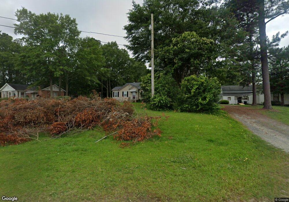
507 Patrol Rd Forsyth, GA 31029
Estimated Value: $136,440 - $301,000
3
Beds
1
Bath
1,093
Sq Ft
$172/Sq Ft
Est. Value
About This Home
This home is located at 507 Patrol Rd, Forsyth, GA 31029 and is currently estimated at $187,860, approximately $171 per square foot. 507 Patrol Rd is a home with nearby schools including T.G. Scott Elementary School, Mary Persons High School, and Lighthouse Academy.
Ownership History
Date
Name
Owned For
Owner Type
Purchase Details
Closed on
Feb 25, 2016
Sold by
Kudu Properties Llc
Bought by
Diversified Capital Management
Current Estimated Value
Purchase Details
Closed on
Nov 25, 2014
Sold by
Herndon Terry Ray
Bought by
Kudu Properties Llc
Home Financials for this Owner
Home Financials are based on the most recent Mortgage that was taken out on this home.
Original Mortgage
$35,000
Interest Rate
4.02%
Mortgage Type
New Conventional
Purchase Details
Closed on
May 13, 1997
Sold by
Herndon Dorothy
Bought by
Herndon Terry Ray
Purchase Details
Closed on
Jul 2, 1962
Sold by
Anderson Rosa Nell
Bought by
Herndon Horace L
Create a Home Valuation Report for This Property
The Home Valuation Report is an in-depth analysis detailing your home's value as well as a comparison with similar homes in the area
Home Values in the Area
Average Home Value in this Area
Purchase History
| Date | Buyer | Sale Price | Title Company |
|---|---|---|---|
| Diversified Capital Management | $162,500 | -- | |
| Kudu Properties Llc | $46,000 | -- | |
| Herndon Terry Ray | -- | -- | |
| Herndon Dorothy | -- | -- | |
| Herndon Horace L | -- | -- |
Source: Public Records
Mortgage History
| Date | Status | Borrower | Loan Amount |
|---|---|---|---|
| Previous Owner | Kudu Properties Llc | $35,000 |
Source: Public Records
Tax History Compared to Growth
Tax History
| Year | Tax Paid | Tax Assessment Tax Assessment Total Assessment is a certain percentage of the fair market value that is determined by local assessors to be the total taxable value of land and additions on the property. | Land | Improvement |
|---|---|---|---|---|
| 2024 | $729 | $25,120 | $2,840 | $22,280 |
| 2023 | $652 | $21,400 | $2,840 | $18,560 |
| 2022 | $633 | $21,400 | $2,840 | $18,560 |
| 2021 | $653 | $21,400 | $2,840 | $18,560 |
| 2020 | $679 | $21,400 | $2,840 | $18,560 |
| 2019 | $684 | $21,400 | $2,840 | $18,560 |
| 2018 | $686 | $21,400 | $2,840 | $18,560 |
| 2017 | $686 | $21,400 | $2,840 | $18,560 |
| 2016 | $513 | $16,760 | $2,840 | $13,920 |
| 2015 | $489 | $16,760 | $2,840 | $13,920 |
| 2014 | $482 | $16,760 | $2,840 | $13,920 |
Source: Public Records
Map
Nearby Homes
- 0 Patrol Rd Unit 10473001
- 285 E Main St
- 2022 Highway 41 N
- 0 College St Unit 10599940
- 436 Magnolia Ct
- 101 E Chambers St
- 205 Solomon St
- 0 Benson Ham Rd Unit OUTPARCEL 2 10558340
- 0 Benson Ham Rd Unit OUTPARCEL 1 10551782
- 0 James St Unit 10395342
- Dogwood Plan at Juliette Crossing
- Camden Plan at Juliette Crossing
- Maple Plan at Juliette Crossing
- Hawthorne Plan at Juliette Crossing
- Harrison Plan at Juliette Crossing
- Ash II Plan at Juliette Crossing
- Belmont Plan at Juliette Crossing
- Delilah Plan at Juliette Crossing
- Oakwood Plan at Juliette Crossing
- Jackson Plan at Juliette Crossing
- 515 Patrol Rd
- 415 Tift College Dr
- 0 Patrol Rd Unit 10386791
- 0 Patrol Rd Unit 156189
- 0 Patrol Rd Unit 8999456
- 0 Patrol Rd Unit 8857313
- 0 Patrol Rd Unit 8857320
- 0 Patrol Rd
- 553 Patrol Rd
- 15 N Forest Ave
- 405 Tift College Dr
- 0 Belmont St Unit 80 7524292
- 0 N Forest Ave
- 385 Tift College Dr
- 26 N Forrest Ave
- 28 N Forest Ave
- 26 N Forest Ave
- 10 N Forest Ave
- 377 Tift College Dr
- 410 E Main St