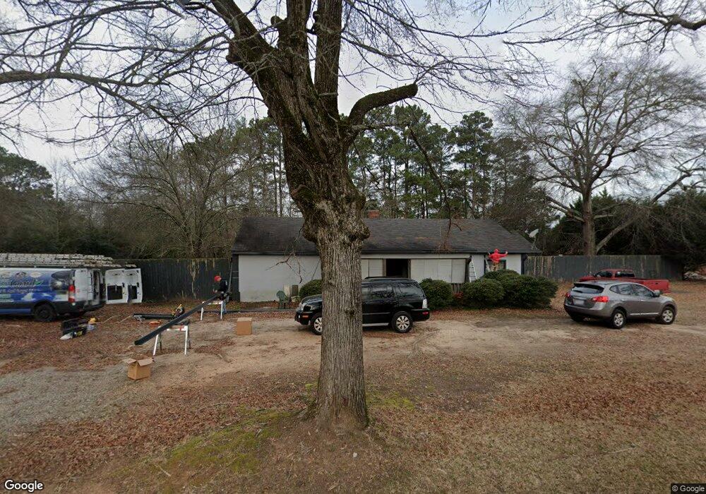
507 S Cherokee Rd Social Circle, GA 30025
Estimated Value: $260,047 - $306,000
--
Bed
--
Bath
1,860
Sq Ft
$150/Sq Ft
Est. Value
About This Home
This home is located at 507 S Cherokee Rd, Social Circle, GA 30025 and is currently estimated at $278,512, approximately $149 per square foot. 507 S Cherokee Rd is a home located in Walton County with nearby schools including Social Circle Primary School, Social Circle Elementary School, and Social Circle Middle School.
Ownership History
Date
Name
Owned For
Owner Type
Purchase Details
Closed on
Dec 11, 1990
Bought by
Cook Lee Anne
Current Estimated Value
Create a Home Valuation Report for This Property
The Home Valuation Report is an in-depth analysis detailing your home's value as well as a comparison with similar homes in the area
Home Values in the Area
Average Home Value in this Area
Purchase History
| Date | Buyer | Sale Price | Title Company |
|---|---|---|---|
| Cook Lee Anne | $30,000 | -- |
Source: Public Records
Tax History Compared to Growth
Tax History
| Year | Tax Paid | Tax Assessment Tax Assessment Total Assessment is a certain percentage of the fair market value that is determined by local assessors to be the total taxable value of land and additions on the property. | Land | Improvement |
|---|---|---|---|---|
| 2024 | $2,049 | $71,760 | $18,400 | $53,360 |
| 2023 | $1,997 | $68,120 | $16,560 | $51,560 |
| 2022 | $243 | $59,920 | $14,720 | $45,200 |
| 2021 | $243 | $50,280 | $10,120 | $40,160 |
| 2020 | $249 | $47,360 | $7,800 | $39,560 |
| 2019 | $255 | $36,600 | $7,800 | $28,800 |
| 2018 | $255 | $36,600 | $7,800 | $28,800 |
| 2017 | $1,344 | $32,160 | $5,960 | $26,200 |
| 2016 | $265 | $29,120 | $5,960 | $23,160 |
| 2015 | $243 | $25,640 | $5,960 | $19,680 |
| 2014 | $225 | $22,960 | $5,960 | $17,000 |
Source: Public Records
Map
Nearby Homes
- 582 S Cherokee Rd
- 241 E Ash St
- Adrian Plan at Conner Springs
- Sinclair Plan at Conner Springs
- Shiloh Plan at Conner Springs
- Mira Plan at Conner Springs
- Hemingway Plan at Conner Springs
- Harding Plan at Conner Springs
- Tucker Front Porch Plan at Conner Springs
- 603 Lakewood Dr SW
- 177 ORWELL Drive
- 207 E Hightower Trail
- 432 Chestnut St
- 159 S Forest Ave
- 135 N Dogwood Ave
- 127 Holly St NE
- 357 W Hightower Trail
- 178 Elder Dr SE
- 178 Elder Dr SE Unit 103
- 1249 Social Circle Pkwy
- 119 W Ash St
- 521 S Cherokee Rd
- 127 W Ash St
- 547 S Cherokee Rd
- 522 S Cherokee Rd
- 506 S Cherokee Rd
- 563 S Cherokee Rd
- 462 S Cherokee Rd
- 125 W Ash St
- 126 W Ash St
- 453 S Cherokee Rd
- 562 S Cherokee Rd
- 105 Cameron Way Unit A
- 105 Cameron Way Unit B
- 109 Cameron Way Unit A
- 109 Cameron Way Unit B
- 101 Cameron Way Unit A
- 101 Cameron Way Unit B
- 452 S Cherokee Rd
- 431 S Cherokee Rd