507 S Discovery Rd Port Townsend, WA 98368
Estimated Value: $722,000 - $926,000
2
Beds
2
Baths
2,555
Sq Ft
$310/Sq Ft
Est. Value
About This Home
This home is located at 507 S Discovery Rd, Port Townsend, WA 98368 and is currently estimated at $791,558, approximately $309 per square foot. 507 S Discovery Rd is a home with nearby schools including Salish Coast Elementary School, Blue Heron Middle School, and Port Townsend High School.
Ownership History
Date
Name
Owned For
Owner Type
Purchase Details
Closed on
Jun 24, 2021
Sold by
Dwyer John O
Bought by
Dwyer John and Living Tr Agreement Of John Dw
Current Estimated Value
Purchase Details
Closed on
Apr 14, 2021
Sold by
Dwyer John
Bought by
Dwyer John and Living Tr Agreement Of John Dw
Purchase Details
Closed on
Mar 2, 2017
Sold by
Dwyer John Devin
Bought by
Dwyer John Devin and Dwyer Linda Kay
Purchase Details
Closed on
Jun 25, 2009
Sold by
Dwyer John O and Dwyer John Devin
Bought by
Dwyer John Devin and Dwyer John O
Home Financials for this Owner
Home Financials are based on the most recent Mortgage that was taken out on this home.
Original Mortgage
$255,000
Interest Rate
5.14%
Mortgage Type
New Conventional
Purchase Details
Closed on
Apr 8, 2005
Sold by
Perkins James W and Perkins Saundra
Bought by
Dwyer John O and Dwyer John Devin
Home Financials for this Owner
Home Financials are based on the most recent Mortgage that was taken out on this home.
Original Mortgage
$260,000
Interest Rate
5.84%
Mortgage Type
New Conventional
Create a Home Valuation Report for This Property
The Home Valuation Report is an in-depth analysis detailing your home's value as well as a comparison with similar homes in the area
Home Values in the Area
Average Home Value in this Area
Purchase History
| Date | Buyer | Sale Price | Title Company |
|---|---|---|---|
| Dwyer John | -- | None Available | |
| Dwyer John | -- | None Available | |
| Dwyer John Devin | $280 | None Available | |
| Dwyer John Devin | -- | None Available | |
| Dwyer John O | $325,000 | First American Title |
Source: Public Records
Mortgage History
| Date | Status | Borrower | Loan Amount |
|---|---|---|---|
| Previous Owner | Dwyer John Devin | $255,000 | |
| Previous Owner | Dwyer John O | $260,000 |
Source: Public Records
Tax History Compared to Growth
Tax History
| Year | Tax Paid | Tax Assessment Tax Assessment Total Assessment is a certain percentage of the fair market value that is determined by local assessors to be the total taxable value of land and additions on the property. | Land | Improvement |
|---|---|---|---|---|
| 2024 | $5,024 | $615,930 | $145,200 | $470,730 |
| 2023 | $5,024 | $571,828 | $138,600 | $433,228 |
| 2022 | $3,965 | $525,844 | $132,000 | $393,844 |
| 2021 | $3,984 | $410,346 | $111,980 | $298,366 |
| 2020 | $4,083 | $387,194 | $101,800 | $285,394 |
| 2019 | $3,576 | $387,194 | $101,800 | $285,394 |
| 2018 | $2,787 | $361,249 | $101,800 | $259,449 |
| 2017 | $2,624 | $246,582 | $100,100 | $146,482 |
| 2016 | $2,477 | $246,582 | $100,100 | $146,482 |
| 2015 | $2,483 | $246,582 | $100,100 | $146,482 |
| 2014 | -- | $246,582 | $100,100 | $146,482 |
| 2013 | -- | $224,165 | $91,000 | $133,165 |
Source: Public Records
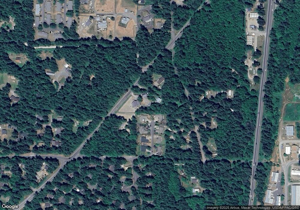
Map
Nearby Homes
- 154 Mediterranean St
- 1652 S Jacob Miller Rd
- 311 S 8th St
- 176 Lot 2 Louisa St
- 0 Highway 20 Hwy Unit NWM2436585
- 999 Cape George Rd
- 15 Xx7 Rainier St
- 15 xx Rainier St
- 0 Lots 3&4 Grant St Unit NWM2367916
- 1643 Lorraine Way
- 1625 Lorraine Way
- 1619 Lorraine Way
- 1631 Lorraine Way
- 1624 Lorraine Way
- 1607 Lorraine Way
- 1612 Lorraine Way
- Lighthouse Plan at Madrona Ridge
- Horizon Plan at Madrona Ridge
- Harbor Plan at Madrona Ridge
- Driftwood Plan at Madrona Ridge