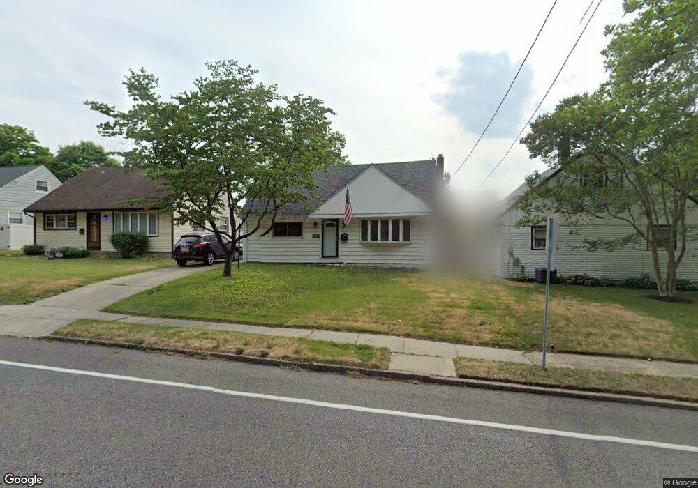
507 Tanyard Rd Woodbury, NJ 08096
Deptford Township NeighborhoodEstimated Value: $273,000 - $312,000
--
Bed
--
Bath
1,565
Sq Ft
$184/Sq Ft
Est. Value
About This Home
This home is located at 507 Tanyard Rd, Woodbury, NJ 08096 and is currently estimated at $287,983, approximately $184 per square foot. 507 Tanyard Rd is a home located in Gloucester County with nearby schools including Deptford Township High School and Holy Angels Catholic School.
Ownership History
Date
Name
Owned For
Owner Type
Purchase Details
Closed on
Jul 13, 2007
Sold by
Hniedziejko Irene E and Hniedziejko Lawrence
Bought by
Gardner James
Current Estimated Value
Home Financials for this Owner
Home Financials are based on the most recent Mortgage that was taken out on this home.
Original Mortgage
$151,905
Outstanding Balance
$95,144
Interest Rate
6.54%
Mortgage Type
Purchase Money Mortgage
Estimated Equity
$192,839
Create a Home Valuation Report for This Property
The Home Valuation Report is an in-depth analysis detailing your home's value as well as a comparison with similar homes in the area
Home Values in the Area
Average Home Value in this Area
Purchase History
| Date | Buyer | Sale Price | Title Company |
|---|---|---|---|
| Gardner James | $159,900 | Commonwealth Land Title Insu |
Source: Public Records
Mortgage History
| Date | Status | Borrower | Loan Amount |
|---|---|---|---|
| Open | Gardner James | $151,905 |
Source: Public Records
Tax History Compared to Growth
Tax History
| Year | Tax Paid | Tax Assessment Tax Assessment Total Assessment is a certain percentage of the fair market value that is determined by local assessors to be the total taxable value of land and additions on the property. | Land | Improvement |
|---|---|---|---|---|
| 2025 | $4,901 | $136,700 | $27,800 | $108,900 |
| 2024 | $4,743 | $136,700 | $27,800 | $108,900 |
| 2023 | $4,743 | $136,700 | $27,800 | $108,900 |
| 2022 | $4,709 | $136,700 | $27,800 | $108,900 |
| 2021 | $4,278 | $136,700 | $27,800 | $108,900 |
| 2020 | $4,589 | $136,700 | $27,800 | $108,900 |
| 2019 | $4,502 | $136,700 | $27,800 | $108,900 |
| 2018 | $4,400 | $136,700 | $27,800 | $108,900 |
| 2017 | $4,283 | $136,700 | $27,800 | $108,900 |
| 2016 | $4,195 | $136,700 | $27,800 | $108,900 |
| 2015 | $4,065 | $136,700 | $27,800 | $108,900 |
| 2014 | $3,960 | $136,700 | $27,800 | $108,900 |
Source: Public Records
Map
Nearby Homes
- 470 E Barber Ave
- 437 E Barber Ave
- 226 S Maple St
- 31 S Bayard Ave
- 89 E Barber Ave
- 10 Lake Dr
- 25 N Evergreen Ave
- 82 Hopkins St
- 78 Hopkins St
- 38 Bellevue Ave
- 471 Glassboro Rd
- 16 N Maple St Unit A5
- 504 Glassboro Rd
- 118 Caribou Ct
- 33 Hopkins St
- 29 Aberdeen Place
- 71 Cooper St
- 43 Curtis Ave
- BL 129 LT 8 10-20 Buffalo Ct
- 246 S Broad St
- 511 Tanyard Rd
- 2 Andy Snyder Rd
- 515 Tanyard Rd
- 506 Hemlock Terrace
- 510 Hemlock Terrace
- 8 Andy Snyder Rd
- 519 Tanyard Rd
- 1 Andy Snyder Rd
- 514 Hemlock Terrace
- 518 Hemlock Terrace
- 523 Tanyard Rd
- 7 Andy Snyder Rd
- 493 Tanyard Rd
- 522 Hemlock Terrace
- 482 Hemlock Terrace
- 527 Tanyard Rd
- 489 E Barber Ave
- 526 Hemlock Terrace
- 478 Hemlock Terrace
- 531 Tanyard Rd