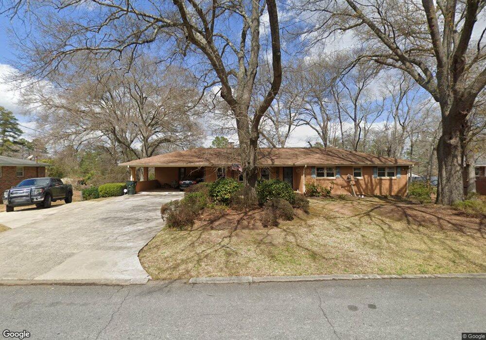
507 Todd Cir Warner Robins, GA 31088
Estimated Value: $202,000 - $233,000
3
Beds
2
Baths
2,118
Sq Ft
$103/Sq Ft
Est. Value
About This Home
This home is located at 507 Todd Cir, Warner Robins, GA 31088 and is currently estimated at $219,203, approximately $103 per square foot. 507 Todd Cir is a home located in Houston County with nearby schools including Russell Elementary School, Warner Robins Middle School, and Warner Robins High School.
Ownership History
Date
Name
Owned For
Owner Type
Purchase Details
Closed on
Sep 12, 2023
Sold by
Cerka Donald E
Bought by
Cerka Carolyn R
Current Estimated Value
Purchase Details
Closed on
May 30, 2007
Sold by
Cottonwood Land Corporation
Bought by
Monte Carlo Homes Inc
Home Financials for this Owner
Home Financials are based on the most recent Mortgage that was taken out on this home.
Original Mortgage
$124,000
Interest Rate
6.16%
Mortgage Type
Purchase Money Mortgage
Create a Home Valuation Report for This Property
The Home Valuation Report is an in-depth analysis detailing your home's value as well as a comparison with similar homes in the area
Home Values in the Area
Average Home Value in this Area
Purchase History
| Date | Buyer | Sale Price | Title Company |
|---|---|---|---|
| Cerka Carolyn R | -- | None Listed On Document | |
| Monte Carlo Homes Inc | $27,500 | None Available |
Source: Public Records
Mortgage History
| Date | Status | Borrower | Loan Amount |
|---|---|---|---|
| Previous Owner | Monte Carlo Homes Inc | $124,000 |
Source: Public Records
Tax History Compared to Growth
Tax History
| Year | Tax Paid | Tax Assessment Tax Assessment Total Assessment is a certain percentage of the fair market value that is determined by local assessors to be the total taxable value of land and additions on the property. | Land | Improvement |
|---|---|---|---|---|
| 2024 | $2,014 | $75,240 | $6,000 | $69,240 |
| 2023 | $2,098 | $63,640 | $6,000 | $57,640 |
| 2022 | $1,281 | $57,720 | $6,000 | $51,720 |
| 2021 | $1,712 | $51,440 | $6,000 | $45,440 |
| 2020 | $1,079 | $48,440 | $6,000 | $42,440 |
| 2019 | $1,079 | $48,440 | $6,000 | $42,440 |
| 2018 | $1,079 | $48,440 | $6,000 | $42,440 |
| 2017 | $1,080 | $48,440 | $6,000 | $42,440 |
| 2016 | $1,082 | $48,440 | $6,000 | $42,440 |
| 2015 | -- | $48,440 | $6,000 | $42,440 |
| 2014 | -- | $48,440 | $6,000 | $42,440 |
| 2013 | -- | $48,440 | $6,000 | $42,440 |
Source: Public Records
Map
Nearby Homes
- 503 Todd Cir
- 419 Kimberly Rd
- 413 Tracy Terrace
- 104 Oak Forest Ct
- 102 Williamsburg Ave
- 215 Kimberly Rd
- 100 Williamsburg Ave
- 505 Ashby Way
- 140 Stoneridge Dr
- 100 Stoneridge Dr
- 141 Stoneridge Dr
- 124 Stonehedge Dr
- 101 Robinhood Dr
- 304 Palomino Ln
- 216 Randall Dr
- 205 Sonja Dr
- 206 Sonja Dr
- 211 Palomino Ln
- 212 Palomino Ln
- 100 Belmont Dr
- 505 Todd Cir
- 511 Todd Cir
- 117 Little John Ln
- 115 Little John Ln
- 504 Todd Cir
- 119 Little John Ln
- 113 Little John Ln
- 502 Todd Cir
- 420 Pennsylvania Ave
- 121 Little John Ln
- 419 Pennsylvania Ave
- 111 Little John Ln
- 500 Kimberly Rd
- 416 Tracy Terrace
- 118 Little John Ln
- 418 Pennsylvania Ave
- 501 Todd Cir
- 420 Kimberly Rd
- 417 Pennsylvania Ave
- 500 Todd Cir