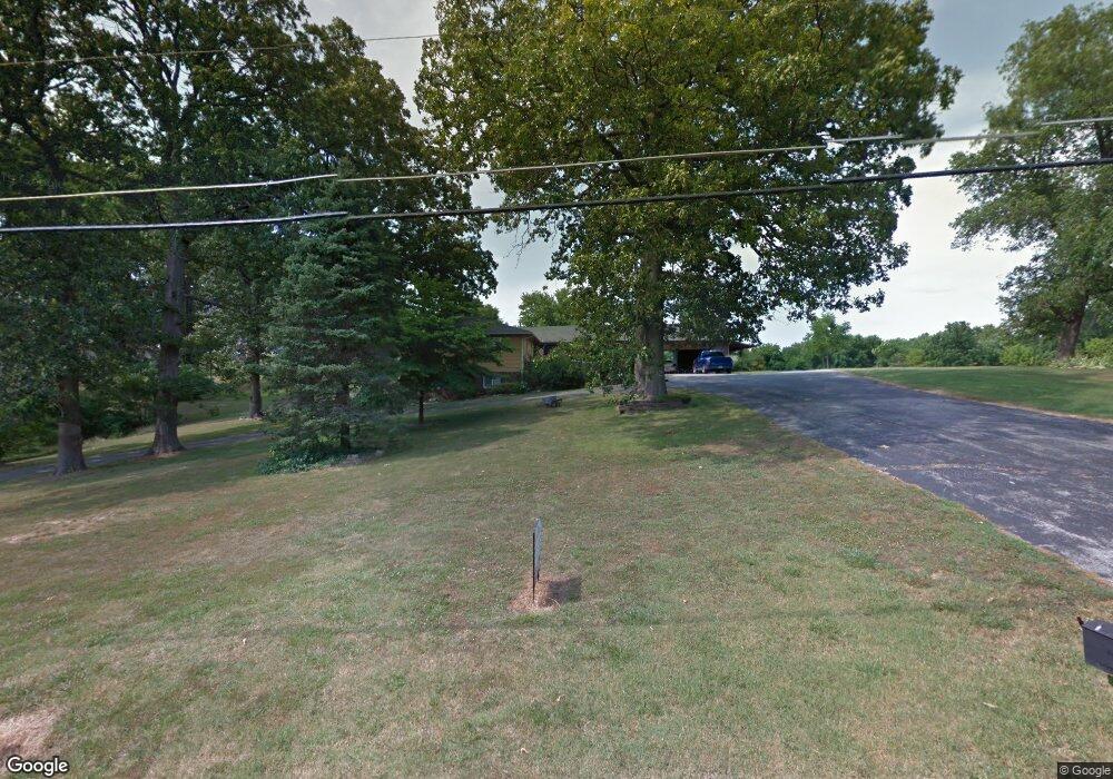
507 W 15th St Cassville, MO 65625
Estimated Value: $325,000 - $382,000
5
Beds
3
Baths
4,240
Sq Ft
$81/Sq Ft
Est. Value
About This Home
This home is located at 507 W 15th St, Cassville, MO 65625 and is currently estimated at $344,667, approximately $81 per square foot. 507 W 15th St is a home located in Barry County with nearby schools including Eunice Thomas Elementary School, Cassville Intermediate School, and Cassville Middle School.
Ownership History
Date
Name
Owned For
Owner Type
Purchase Details
Closed on
Jun 7, 2024
Sold by
Belk Tonya and Belk Jerry
Bought by
Durossette Jess and Durossette Kimberly
Current Estimated Value
Purchase Details
Closed on
Nov 20, 2017
Sold by
White Dennis R and White Sonya L
Bought by
White Dennis R and White Sonya L
Purchase Details
Closed on
Oct 6, 2009
Sold by
Cox Sonya and Cox Tom E
Bought by
Cox Tom E and Cox Sonya
Create a Home Valuation Report for This Property
The Home Valuation Report is an in-depth analysis detailing your home's value as well as a comparison with similar homes in the area
Home Values in the Area
Average Home Value in this Area
Purchase History
| Date | Buyer | Sale Price | Title Company |
|---|---|---|---|
| Durossette Jess | -- | Barry County Abstract & Title | |
| White Dennis R | -- | None Available | |
| Cox Tom E | -- | Bcat |
Source: Public Records
Tax History Compared to Growth
Tax History
| Year | Tax Paid | Tax Assessment Tax Assessment Total Assessment is a certain percentage of the fair market value that is determined by local assessors to be the total taxable value of land and additions on the property. | Land | Improvement |
|---|---|---|---|---|
| 2025 | $1,334 | $31,749 | $4,142 | $27,607 |
| 2024 | $1,334 | $29,241 | $4,142 | $25,099 |
| 2023 | $1,334 | $29,241 | $4,142 | $25,099 |
| 2022 | $1,293 | $28,329 | $3,230 | $25,099 |
| 2021 | $1,298 | $28,329 | $3,230 | $25,099 |
| 2020 | $1,298 | $28,329 | $3,230 | $25,099 |
| 2018 | $1,269 | $28,329 | $3,230 | $25,099 |
| 2017 | $1,266 | $28,329 | $3,230 | $25,099 |
| 2016 | $1,157 | $25,593 | $2,774 | $22,819 |
| 2015 | -- | $25,593 | $2,774 | $22,819 |
| 2014 | -- | $25,593 | $2,774 | $22,819 |
| 2012 | -- | $0 | $0 | $0 |
Source: Public Records
Map
Nearby Homes
- 000 Luney Dr
- 1421 Oakhill Dr
- 1103 Townsend St
- 303 Melton Way
- 1605 N Main St
- 000 Townsend West 9th
- 1112 Harold St
- 000 State Highway 86
- Tbd State Highway 76
- 1408 Nottingham Dr
- 106 Mountain St
- 3110 Main St
- 129 Robinhood Dr
- 75 Sycamore Dr
- 83 Main St
- 34 Sunset St
- Lot 4 State Highway 112
- Lot 2 State Highway 112
- Lot 3 State Highway 112
- Lot 1 State Highway 112