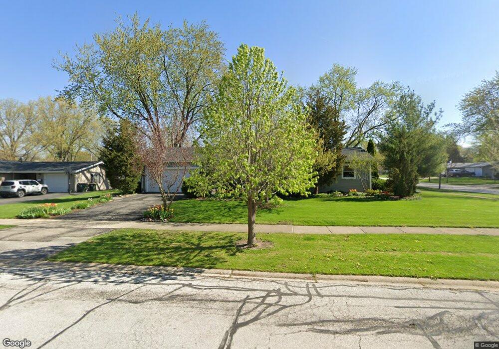
507 W State St North Aurora, IL 60542
Estimated Value: $315,344 - $343,000
3
Beds
3
Baths
1,320
Sq Ft
$250/Sq Ft
Est. Value
About This Home
This home is located at 507 W State St, North Aurora, IL 60542 and is currently estimated at $330,086, approximately $250 per square foot. 507 W State St is a home located in Kane County with nearby schools including Goodwin Elementary School, Jewel Middle School, and West Aurora High School.
Ownership History
Date
Name
Owned For
Owner Type
Purchase Details
Closed on
Mar 28, 2003
Sold by
Julius Dwayne R and Julius Tracy K
Bought by
Mcguigan Michael and Mcguigan Kristan M
Current Estimated Value
Home Financials for this Owner
Home Financials are based on the most recent Mortgage that was taken out on this home.
Original Mortgage
$179,450
Outstanding Balance
$77,713
Interest Rate
5.86%
Mortgage Type
Purchase Money Mortgage
Estimated Equity
$252,373
Create a Home Valuation Report for This Property
The Home Valuation Report is an in-depth analysis detailing your home's value as well as a comparison with similar homes in the area
Home Values in the Area
Average Home Value in this Area
Purchase History
| Date | Buyer | Sale Price | Title Company |
|---|---|---|---|
| Mcguigan Michael | $185,000 | First American Title Ins Co |
Source: Public Records
Mortgage History
| Date | Status | Borrower | Loan Amount |
|---|---|---|---|
| Open | Mcguigan Michael | $179,450 |
Source: Public Records
Tax History Compared to Growth
Tax History
| Year | Tax Paid | Tax Assessment Tax Assessment Total Assessment is a certain percentage of the fair market value that is determined by local assessors to be the total taxable value of land and additions on the property. | Land | Improvement |
|---|---|---|---|---|
| 2024 | $6,499 | $93,390 | $13,622 | $79,768 |
| 2023 | $6,219 | $83,443 | $12,171 | $71,272 |
| 2022 | $5,876 | $76,134 | $11,105 | $65,029 |
| 2021 | $5,603 | $70,882 | $10,339 | $60,543 |
| 2020 | $5,864 | $72,647 | $9,603 | $63,044 |
| 2019 | $5,672 | $67,309 | $8,897 | $58,412 |
| 2018 | $5,368 | $62,083 | $8,230 | $53,853 |
| 2017 | $4,969 | $56,465 | $7,583 | $48,882 |
| 2016 | $4,460 | $49,924 | $6,327 | $43,597 |
| 2015 | -- | $43,835 | $5,441 | $38,394 |
| 2014 | -- | $41,004 | $5,233 | $35,771 |
| 2013 | -- | $41,558 | $5,158 | $36,400 |
Source: Public Records
Map
Nearby Homes
- 6 S Sycamore Ln
- 328 W State St
- 202 Larchwood Ln
- 302 Pin Oak Dr
- 43 S Juniper Dr Unit 3
- 320 Harmony Dr
- 503 Redwood Ct
- 727 Harmony Ct
- 307 John St
- 306 Harmony Dr
- 341 Pheasant Hill Dr
- 791 Cottonwood Dr
- 218 Timber Oaks Dr
- 438 Mallard Point Dr
- 22 Silver Trail Unit 2
- 442 Mallard Point Dr
- 413 N Sycamore Ln
- 16 S Grace St
- 426 Prairie Ridge Ln
- 427 Prairie Ridge Ln
- 4 Candlewick Ct
- 510 W State St
- 503 W State St
- 512 W State St
- 1 N Sycamore Ln
- 508 W State St
- 6 Candlewick Ct
- 506 W State St
- 3 S Sycamore Ln
- 3 N Sycamore Ln
- 5 Candlewick Ct
- 504 W State St
- 8 Candlewick Ct
- 509 Harmony Dr
- 507 Harmony Dr
- 501 W State St
- 4 Chantilly Ln
- 5 S Sycamore Ln
- 5 N Sycamore Ln
- 7 Candlewick Ct