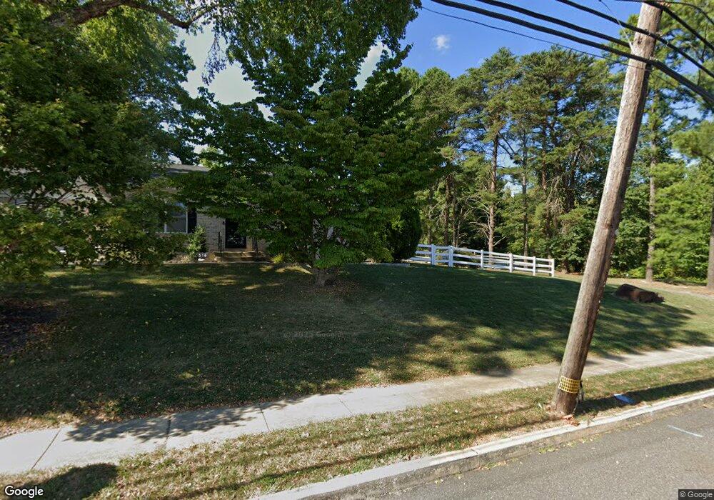
507 Weir Rd Upper Chichester, PA 19014
Estimated Value: $370,000 - $489,000
3
Beds
2
Baths
1,320
Sq Ft
$327/Sq Ft
Est. Value
About This Home
This home is located at 507 Weir Rd, Upper Chichester, PA 19014 and is currently estimated at $431,838, approximately $327 per square foot. 507 Weir Rd is a home located in Delaware County with nearby schools including Chichester Senior High School and Chester Charter School for the Arts.
Ownership History
Date
Name
Owned For
Owner Type
Purchase Details
Closed on
Mar 9, 2022
Sold by
Shinn Robert W
Bought by
Ohara Brian
Current Estimated Value
Home Financials for this Owner
Home Financials are based on the most recent Mortgage that was taken out on this home.
Original Mortgage
$332,500
Outstanding Balance
$309,546
Interest Rate
3.92%
Mortgage Type
New Conventional
Estimated Equity
$122,292
Purchase Details
Closed on
Jun 20, 2016
Sold by
Kraft H Jean and Kraft Jean Gritz
Bought by
Romano Matthew and Stark Rachel A
Home Financials for this Owner
Home Financials are based on the most recent Mortgage that was taken out on this home.
Original Mortgage
$205,214
Interest Rate
3.57%
Mortgage Type
FHA
Purchase Details
Closed on
Apr 6, 1987
Sold by
Shinn Robert A
Bought by
Shinn Robert W
Create a Home Valuation Report for This Property
The Home Valuation Report is an in-depth analysis detailing your home's value as well as a comparison with similar homes in the area
Home Values in the Area
Average Home Value in this Area
Purchase History
| Date | Buyer | Sale Price | Title Company |
|---|---|---|---|
| Ohara Brian | $350,000 | None Listed On Document | |
| Romano Matthew | $209,000 | Attorney | |
| Shinn Robert W | -- | -- |
Source: Public Records
Mortgage History
| Date | Status | Borrower | Loan Amount |
|---|---|---|---|
| Open | Ohara Brian | $332,500 | |
| Previous Owner | Romano Matthew | $205,214 |
Source: Public Records
Tax History Compared to Growth
Tax History
| Year | Tax Paid | Tax Assessment Tax Assessment Total Assessment is a certain percentage of the fair market value that is determined by local assessors to be the total taxable value of land and additions on the property. | Land | Improvement |
|---|---|---|---|---|
| 2025 | $6,667 | $200,660 | $95,520 | $105,140 |
| 2024 | $6,667 | $200,660 | $95,520 | $105,140 |
| 2023 | $6,226 | $193,590 | $95,520 | $98,070 |
| 2022 | $6,074 | $193,590 | $95,520 | $98,070 |
| 2021 | $9,057 | $193,590 | $95,520 | $98,070 |
| 2020 | $5,697 | $113,000 | $69,760 | $43,240 |
| 2019 | $5,697 | $113,000 | $69,760 | $43,240 |
| 2018 | $5,713 | $113,000 | $0 | $0 |
| 2017 | $5,668 | $113,000 | $0 | $0 |
| 2016 | $620 | $113,000 | $0 | $0 |
| 2015 | $633 | $113,000 | $0 | $0 |
| 2014 | $620 | $113,000 | $0 | $0 |
Source: Public Records
Map
Nearby Homes
- 2205 Weir Rd
- 734 Burdett Dr
- 505 Schick Rd
- 711 Carole Dr
- 565 Applewood Ct
- 414 Dogwood Cir Unit 30
- 4104 Kates Glen
- 4701 Pennell Rd Unit J11
- 4701 Pennell Rd Unit H3
- 4335 Somerset Ln
- 4301 Aston Mills Rd
- 4224 Chatham Cir
- 887 Red Hill Rd
- 921 Flora Ln
- 4130 Chichester Ave
- 147 Third Ave
- 184 Fifth Ave
- 182 Fifth Ave
- 216 Park Dr
- 200 Anderson Ave