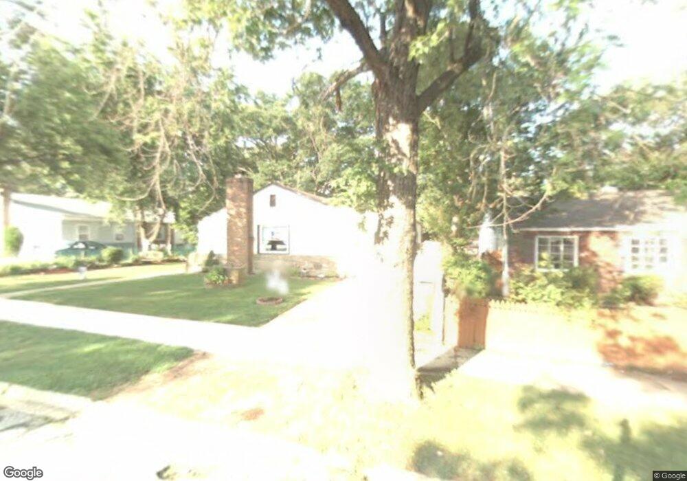
507 Westway Rd Glen Burnie, MD 21061
Estimated Value: $331,000 - $356,000
--
Bed
1
Bath
1,188
Sq Ft
$290/Sq Ft
Est. Value
About This Home
This home is located at 507 Westway Rd, Glen Burnie, MD 21061 and is currently estimated at $344,608, approximately $290 per square foot. 507 Westway Rd is a home located in Anne Arundel County with nearby schools including Woodside Elementary School, Corkran Middle School, and Glen Burnie High School.
Ownership History
Date
Name
Owned For
Owner Type
Purchase Details
Closed on
Aug 17, 2019
Sold by
Moore Mary M
Bought by
Moore Mary M and Moore Robert William
Current Estimated Value
Purchase Details
Closed on
Mar 15, 2002
Sold by
Steele Sue S
Bought by
Moore Mary M and Sevison Mary E
Purchase Details
Closed on
Jul 15, 1998
Sold by
Bankers Trust Company & Trustees
Bought by
Steele Sue Sharolette
Purchase Details
Closed on
Jun 23, 1997
Sold by
Oliver Raymond J
Bought by
Bankers Trust Company & Trustees
Create a Home Valuation Report for This Property
The Home Valuation Report is an in-depth analysis detailing your home's value as well as a comparison with similar homes in the area
Home Values in the Area
Average Home Value in this Area
Purchase History
| Date | Buyer | Sale Price | Title Company |
|---|---|---|---|
| Moore Mary M | -- | None Available | |
| Moore Mary M | $113,500 | -- | |
| Steele Sue Sharolette | $91,800 | -- | |
| Bankers Trust Company & Trustees | $60,000 | -- |
Source: Public Records
Mortgage History
| Date | Status | Borrower | Loan Amount |
|---|---|---|---|
| Closed | Moore Mary M | -- |
Source: Public Records
Tax History Compared to Growth
Tax History
| Year | Tax Paid | Tax Assessment Tax Assessment Total Assessment is a certain percentage of the fair market value that is determined by local assessors to be the total taxable value of land and additions on the property. | Land | Improvement |
|---|---|---|---|---|
| 2025 | $2,197 | $244,500 | $143,300 | $101,200 |
| 2024 | $2,197 | $230,333 | $0 | $0 |
| 2023 | $1,647 | $216,167 | $0 | $0 |
| 2022 | $1,967 | $202,000 | $113,300 | $88,700 |
| 2021 | $3,874 | $197,767 | $0 | $0 |
| 2020 | $1,865 | $193,533 | $0 | $0 |
| 2019 | $1,837 | $189,300 | $103,300 | $86,000 |
| 2018 | $1,871 | $184,533 | $0 | $0 |
| 2017 | $1,739 | $179,767 | $0 | $0 |
| 2016 | -- | $175,000 | $0 | $0 |
| 2015 | -- | $167,567 | $0 | $0 |
| 2014 | -- | $160,133 | $0 | $0 |
Source: Public Records
Map
Nearby Homes
- 601 Ashington Rd
- 713 Cotter Rd
- 7517 Baltimore Annapolis Blvd
- 101 Kuethe Rd NE
- 125 Range Rd
- 102 Kuethe Rd NE
- 102 Garrett Rd
- 102 Kent Rd
- 106 3rd Ave SE
- 100 3rd Ave SE
- 707 Delmar Ave
- 715 Griffith Rd
- 45 Chester Cir
- 0 Irene Dr
- 1016 Upton Rd
- 115 Dorchester Rd
- 1002 Lee Rd
- 409 Aquahart Rd
- 133 Glen Rd
- 330 New Jersey Ave NE