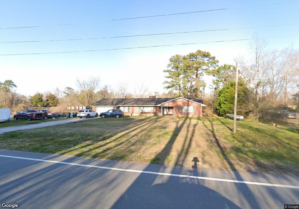
5070 Highway 101 Newport, NC 28570
Estimated Value: $332,871 - $436,000
3
Beds
2
Baths
2,464
Sq Ft
$154/Sq Ft
Est. Value
About This Home
This home is located at 5070 Highway 101, Newport, NC 28570 and is currently estimated at $379,718, approximately $154 per square foot. 5070 Highway 101 is a home located in Carteret County with nearby schools including Beaufort Elementary School, Beaufort Middle School, and East Carteret High School.
Ownership History
Date
Name
Owned For
Owner Type
Purchase Details
Closed on
Jun 16, 2015
Sold by
Secretary Of Veterans Affairs
Bought by
Fulp Larry Reis and Fulp Kayla Renee
Current Estimated Value
Home Financials for this Owner
Home Financials are based on the most recent Mortgage that was taken out on this home.
Original Mortgage
$137,000
Interest Rate
4.25%
Mortgage Type
Adjustable Rate Mortgage/ARM
Purchase Details
Closed on
Jan 12, 2015
Sold by
Jpmorgan Chase Bank National Association
Bought by
The Secretary Of Veterans Affairs
Purchase Details
Closed on
Jan 5, 2015
Sold by
Estes Ronald F and Estes Brenda B
Bought by
Jpmorgan Chase Bank National Association
Create a Home Valuation Report for This Property
The Home Valuation Report is an in-depth analysis detailing your home's value as well as a comparison with similar homes in the area
Home Values in the Area
Average Home Value in this Area
Purchase History
| Date | Buyer | Sale Price | Title Company |
|---|---|---|---|
| Fulp Larry Reis | -- | Attorney | |
| The Secretary Of Veterans Affairs | -- | Attorney | |
| Jpmorgan Chase Bank National Association | $122,472 | Attorney |
Source: Public Records
Mortgage History
| Date | Status | Borrower | Loan Amount |
|---|---|---|---|
| Previous Owner | Fulp Larry Reis | $137,000 |
Source: Public Records
Tax History Compared to Growth
Tax History
| Year | Tax Paid | Tax Assessment Tax Assessment Total Assessment is a certain percentage of the fair market value that is determined by local assessors to be the total taxable value of land and additions on the property. | Land | Improvement |
|---|---|---|---|---|
| 2025 | $760 | $169,686 | $31,895 | $137,791 |
| 2024 | $1,238 | $225,653 | $58,562 | $167,091 |
| 2023 | $1,312 | $225,653 | $58,562 | $167,091 |
| 2022 | $1,289 | $225,653 | $58,562 | $167,091 |
| 2021 | $1,266 | $225,653 | $58,562 | $167,091 |
| 2020 | $1,274 | $225,653 | $58,562 | $167,091 |
| 2019 | $1,284 | $237,431 | $58,562 | $178,869 |
| 2017 | $1,237 | $237,431 | $58,562 | $178,869 |
| 2016 | $1,201 | $237,431 | $58,562 | $178,869 |
| 2015 | $1,177 | $237,431 | $58,562 | $178,869 |
| 2014 | $1,029 | $202,210 | $42,155 | $160,055 |
Source: Public Records
Map
Nearby Homes
- 5012 Highway 101
- 5149 N Carolina 101
- 0000 Adams Creek
- 107 Savannah Ct
- 105 Sumter Dr
- 991 Hardesty Loop Rd
- 114 Antebellum Dr
- 101 Kettle Dr
- 118 Antebellum
- 116 Antebellum
- 112 Antebellum Dr
- 106 Kettle Dr
- 111 Kettle Dr
- Cedar Plan at Plantation Harbor
- Madison Plan at Plantation Harbor
- Blue Ridge Plan at Plantation Harbor
- Masonboro Plan at Plantation Harbor
- Oleander Plan at Plantation Harbor
- Teal Plan at Plantation Harbor
- 133 Antebellum Dr
- 5070 Highway Unit 101
- 5070 Hwy 101
- 5078 Highway 101
- 5036 Highway 101
- 5036 N Carolina 101
- 5124 Highway 101
- 5022 Highway 101
- 5016 N Carolina 101
- 5016 Highway 101
- 5119 Highway 101
- 5012 N Carolina 101
- 5129 Highway 101
- 5006 Highway 101
- 5139 Highway 101
- 4994 Highway 101
- 5149 Highway 101
- 5082 Highway 101
- 399 Ball Farm Rd
- 375 Ball Farm Rd
- 4980 Highway 101