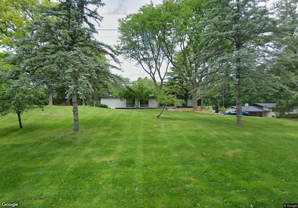
5070 Wallbrook Ct Unit Bldg-Unit West Bloomfield, MI 48322
Estimated Value: $597,000 - $745,000
5
Beds
4
Baths
2,743
Sq Ft
$250/Sq Ft
Est. Value
About This Home
This home is located at 5070 Wallbrook Ct Unit Bldg-Unit, West Bloomfield, MI 48322 and is currently estimated at $685,340, approximately $249 per square foot. 5070 Wallbrook Ct Unit Bldg-Unit is a home located in Oakland County with nearby schools including Wood Creek Elementary School, Warner Upper Elementary School, and Bloomfield Maples Montessori.
Ownership History
Date
Name
Owned For
Owner Type
Purchase Details
Closed on
Mar 16, 2018
Sold by
Najar Peter and Najar Susan
Bought by
Groesbeck Michael R and Groesbeck Kimberly J
Current Estimated Value
Home Financials for this Owner
Home Financials are based on the most recent Mortgage that was taken out on this home.
Original Mortgage
$255,000
Outstanding Balance
$147,940
Interest Rate
4.32%
Mortgage Type
New Conventional
Estimated Equity
$537,400
Create a Home Valuation Report for This Property
The Home Valuation Report is an in-depth analysis detailing your home's value as well as a comparison with similar homes in the area
Home Values in the Area
Average Home Value in this Area
Purchase History
| Date | Buyer | Sale Price | Title Company |
|---|---|---|---|
| Groesbeck Michael R | $435,000 | None Available |
Source: Public Records
Mortgage History
| Date | Status | Borrower | Loan Amount |
|---|---|---|---|
| Open | Groesbeck Michael R | $255,000 |
Source: Public Records
Tax History Compared to Growth
Tax History
| Year | Tax Paid | Tax Assessment Tax Assessment Total Assessment is a certain percentage of the fair market value that is determined by local assessors to be the total taxable value of land and additions on the property. | Land | Improvement |
|---|---|---|---|---|
| 2024 | $5,201 | $288,980 | $0 | $0 |
| 2022 | $5,011 | $251,010 | $64,730 | $186,280 |
| 2021 | $9,303 | $247,340 | $0 | $0 |
| 2020 | $4,863 | $247,430 | $64,730 | $182,700 |
| 2018 | $7,975 | $228,930 | $64,360 | $164,570 |
| 2015 | -- | $223,070 | $0 | $0 |
| 2014 | -- | $197,680 | $0 | $0 |
| 2011 | -- | $190,000 | $0 | $0 |
Source: Public Records
Map
Nearby Homes
- 7250 Ten Hill
- 2014 Waldons Ct
- 28786 Rockledge Dr
- 7209 Stonebrook Rd
- 6800 N Clunbury Rd
- 29020 Ramblewood Dr
- 32500 Rock Ridge Ln
- 5312 Cambourne Place
- 7477 Gramercy Cir Unit 17
- 7479 Gramercy Cir Unit 16
- 7371 Lindenmere Dr
- 7507 Gramercy Cir
- 27170 W 14 Mile Rd
- 7315 Lindenmere Dr
- 32620 Inkster Rd
- 6730 Halyard Rd
- 6545 Post Oak Dr
- 7251 N Briarcliff Knoll Dr
- 32411 Tareyton St
- 7496 Cornwall Ct
- 5070 Wallbrook Ct
- 5060 Wallbrook Ct
- 5080 Wallbrook Ct
- 5050 Wallbrook Ct
- 5090 Wallbrook Ct
- 7215 Ten Hill
- 7220 Cedarcroft Ln
- 5042 Wallbrook Ct
- 7225 Ten Hill
- 4754 Old
- 4754 Old
- 7230 Cedarcroft Ln
- 7230 Cedarcroft Ln
- 7055 Ten Hill
- 5036 Wallbrook Ct
- 7192 Ten Hill
- 7080 Ten Hill
- 7070 Ten Hill
- 7235 Ten Hill
- 7045 Ten Hill