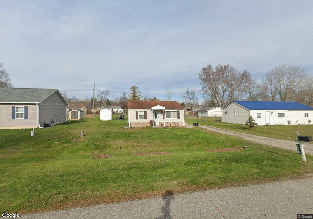
5072 Burma Rd Kimball, MI 48074
Estimated Value: $258,000 - $282,000
--
Bed
--
Bath
1,423
Sq Ft
$189/Sq Ft
Est. Value
About This Home
This home is located at 5072 Burma Rd, Kimball, MI 48074 and is currently estimated at $269,168, approximately $189 per square foot. 5072 Burma Rd is a home located in St. Clair County with nearby schools including Kimball Elementary School, Central Middle School, and Port Huron High School.
Ownership History
Date
Name
Owned For
Owner Type
Purchase Details
Closed on
Aug 8, 2025
Sold by
Treece Sean
Bought by
Kakowski Scott R and Kakowski Victoria M
Current Estimated Value
Purchase Details
Closed on
Apr 15, 2019
Sold by
Rad Homes Inc
Bought by
Treece Sean Michael
Home Financials for this Owner
Home Financials are based on the most recent Mortgage that was taken out on this home.
Original Mortgage
$186,459
Interest Rate
4.3%
Mortgage Type
FHA
Purchase Details
Closed on
Sep 9, 2016
Sold by
Estates Of Charles C Brennan Jr
Bought by
R A D Homes Inc
Purchase Details
Closed on
Oct 26, 1971
Sold by
Adle Dudley and Adle Delma
Bought by
Brennan Charles and Brennan Doris
Create a Home Valuation Report for This Property
The Home Valuation Report is an in-depth analysis detailing your home's value as well as a comparison with similar homes in the area
Home Values in the Area
Average Home Value in this Area
Purchase History
| Date | Buyer | Sale Price | Title Company |
|---|---|---|---|
| Kakowski Scott R | $267,900 | Roi Title Agency Llc | |
| Kakowski Scott R | $267,900 | Roi Title Agency Llc | |
| Treece Sean Michael | $189,900 | Liberty Title | |
| R A D Homes Inc | $34,000 | None Available | |
| Brennan Charles | $375 | None Available |
Source: Public Records
Mortgage History
| Date | Status | Borrower | Loan Amount |
|---|---|---|---|
| Previous Owner | Treece Sean Michael | $186,459 |
Source: Public Records
Tax History Compared to Growth
Tax History
| Year | Tax Paid | Tax Assessment Tax Assessment Total Assessment is a certain percentage of the fair market value that is determined by local assessors to be the total taxable value of land and additions on the property. | Land | Improvement |
|---|---|---|---|---|
| 2025 | $2,851 | $121,800 | $0 | $0 |
| 2024 | $1,615 | $121,100 | $0 | $0 |
| 2023 | $1,479 | $114,200 | $0 | $0 |
| 2022 | $2,547 | $101,000 | $0 | $0 |
| 2021 | $2,366 | $94,000 | $0 | $0 |
| 2020 | $2,366 | $95,400 | $95,400 | $0 |
| 2019 | $186 | $7,500 | $0 | $0 |
| 2018 | $373 | $8,500 | $0 | $0 |
| 2017 | $365 | $8,800 | $0 | $0 |
| 2016 | $56 | $8,800 | $0 | $0 |
| 2015 | -- | $8,800 | $8,800 | $0 |
| 2014 | -- | $8,700 | $8,700 | $0 |
| 2013 | -- | $12,400 | $0 | $0 |
Source: Public Records
Map
Nearby Homes
- 1091 Allen Rd
- 1604 Allen Rd
- 1701 Allen Rd
- V/L Allen
- 0 Ravenswood Rd Unit 20251017048
- 0000 Ravenswood Rd
- 00 Range Rd
- 4632 Cloverdale Ln
- 1979 Allen Rd
- 1405 Range Rd
- 183 Nevada Ave
- 5510 Griswold Rd
- 4595 Griswold Rd
- 1876 Morningstar Ave
- 174 Meadow Ln
- 153 Meadow Ln
- 250 Oregon Ave
- 0000 Wisconsin Ave
- 104 Oldbrook Ln
- 4745 Smiths Creek Rd