5073 Fm 2611 Rd Brazoria, TX 77422
Estimated Value: $181,000 - $273,000
--
Bed
2
Baths
1,247
Sq Ft
$189/Sq Ft
Est. Value
About This Home
This home is located at 5073 Fm 2611 Rd, Brazoria, TX 77422 and is currently estimated at $235,225, approximately $188 per square foot. 5073 Fm 2611 Rd is a home located in Brazoria County with nearby schools including Sweeny Elementary School, Sweeny Junior High School, and Sweeny High School.
Ownership History
Date
Name
Owned For
Owner Type
Purchase Details
Closed on
Apr 14, 2022
Sold by
Dan Mcdougal Revocable Trust
Bought by
Payne Lee Walker and Payne Katherine Ross
Current Estimated Value
Home Financials for this Owner
Home Financials are based on the most recent Mortgage that was taken out on this home.
Original Mortgage
$300,000
Outstanding Balance
$283,920
Interest Rate
5%
Mortgage Type
New Conventional
Estimated Equity
-$48,695
Purchase Details
Closed on
Feb 7, 2018
Sold by
Mcdougal Dan Edward
Bought by
Mcdougal Dan Edward and The Dan Mcdougal Revocable Tru
Create a Home Valuation Report for This Property
The Home Valuation Report is an in-depth analysis detailing your home's value as well as a comparison with similar homes in the area
Home Values in the Area
Average Home Value in this Area
Purchase History
| Date | Buyer | Sale Price | Title Company |
|---|---|---|---|
| Payne Lee Walker | -- | Alamo Title Company | |
| Mcdougal Dan Edward | -- | None Available |
Source: Public Records
Mortgage History
| Date | Status | Borrower | Loan Amount |
|---|---|---|---|
| Open | Payne Lee Walker | $300,000 |
Source: Public Records
Tax History Compared to Growth
Tax History
| Year | Tax Paid | Tax Assessment Tax Assessment Total Assessment is a certain percentage of the fair market value that is determined by local assessors to be the total taxable value of land and additions on the property. | Land | Improvement |
|---|---|---|---|---|
| 2025 | $1,088 | $163,251 | $22,620 | $156,280 |
| 2023 | $1,088 | $179,000 | $20,120 | $158,880 |
| 2022 | $2,793 | $144,980 | $8,980 | $136,000 |
| 2021 | $2,196 | $106,290 | $8,640 | $97,650 |
| 2020 | $2,124 | $106,290 | $8,640 | $97,650 |
| 2019 | $2,014 | $98,000 | $5,120 | $92,880 |
| 2018 | $1,808 | $78,480 | $3,280 | $75,200 |
| 2017 | $2,461 | $106,150 | $4,920 | $101,230 |
| 2016 | $2,461 | $106,150 | $4,920 | $101,230 |
| 2014 | $397 | $113,950 | $3,830 | $110,120 |
Source: Public Records
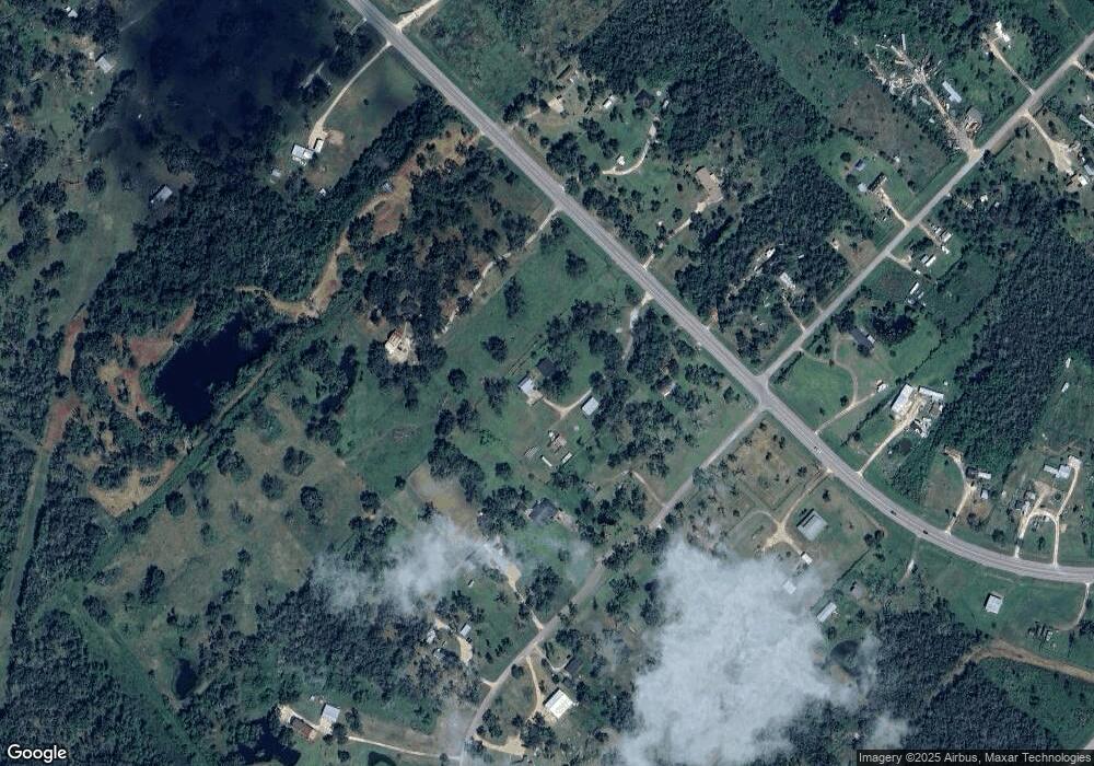
Map
Nearby Homes
- Lot 1 County Road 819
- 0 County Road 819
- 0 County Road 659 Unit 51464010
- 6345 County Road 659
- 6840 County Road 659
- 6377 County Road 659
- 5031 County Road 819
- 6418 County Road 659
- 3418 County Road 310
- 1665 County Road 310
- 7068 County Road 659
- 7088 County Road 659
- 0 N Belt Dr
- 00 N Belt Dr
- TBD N Belt Dr
- 4302 Cr 306
- 000 Pine St
- 3054 Fm 2611 Rd
- 6314 Sexto St
- 6326 Cuarto St
- 5039 Fm 2611 Rd
- 29 County Road 335
- 108 Rio Vista Dr
- 5137 Fm 2611 Rd
- 00 County Road 335
- 5191 Fm 2611 Rd
- 5140 Fm 2611 Rd
- 34 County Road 335
- 34 County Road 335
- 5178 Fm 2611 Rd
- 30 County Road 335
- 23 County Road 335
- 23 Cr 335
- 5257 Fm 2611 Rd
- 4813 Fm 2611 Rd
- 4518 County Road 659a
- 24 County Road 335
- 12 County Road 335
- 6 Cr 659
- 14 County Road 335