5074 Fm 920 Weatherford, TX 76088
Estimated Value: $623,000 - $1,313,705
--
Bed
--
Bath
2,884
Sq Ft
$336/Sq Ft
Est. Value
About This Home
This home is located at 5074 Fm 920, Weatherford, TX 76088 and is currently estimated at $968,353, approximately $335 per square foot. 5074 Fm 920 is a home located in Parker County with nearby schools including Peaster Elementary School, Peaster Middle School, and Peaster High School.
Ownership History
Date
Name
Owned For
Owner Type
Purchase Details
Closed on
Jun 24, 2022
Sold by
Payne Robert Ellis and Mei Duan
Bought by
Robert And Mei Payne Revocable Trust and Payne
Current Estimated Value
Purchase Details
Closed on
Aug 12, 2004
Sold by
Key Kevin and Key Shelbi
Bought by
Payne Robert E
Purchase Details
Closed on
Mar 29, 2000
Sold by
Inner Finance Inc
Bought by
Payne Robert E
Create a Home Valuation Report for This Property
The Home Valuation Report is an in-depth analysis detailing your home's value as well as a comparison with similar homes in the area
Home Values in the Area
Average Home Value in this Area
Purchase History
| Date | Buyer | Sale Price | Title Company |
|---|---|---|---|
| Robert And Mei Payne Revocable Trust | -- | None Listed On Document | |
| Payne Robert E | -- | -- | |
| Payne Robert E | -- | -- |
Source: Public Records
Tax History Compared to Growth
Tax History
| Year | Tax Paid | Tax Assessment Tax Assessment Total Assessment is a certain percentage of the fair market value that is determined by local assessors to be the total taxable value of land and additions on the property. | Land | Improvement |
|---|---|---|---|---|
| 2025 | $3,192 | $459,940 | $35,990 | $423,950 |
| 2024 | $3,192 | $444,466 | -- | -- |
| 2023 | $3,192 | $404,060 | $0 | $0 |
| 2022 | $7,326 | $367,330 | $25,390 | $341,940 |
| 2021 | $6,848 | $367,330 | $25,390 | $341,940 |
| 2020 | $6,083 | $301,570 | $10,000 | $291,570 |
| 2019 | $5,810 | $301,570 | $10,000 | $291,570 |
| 2018 | $5,297 | $245,100 | $10,000 | $235,100 |
| 2017 | $5,271 | $245,100 | $10,000 | $235,100 |
| 2016 | $4,935 | $229,470 | $10,000 | $219,470 |
| 2015 | $4,409 | $229,470 | $10,000 | $219,470 |
| 2014 | $4,459 | $222,810 | $16,000 | $206,810 |
Source: Public Records
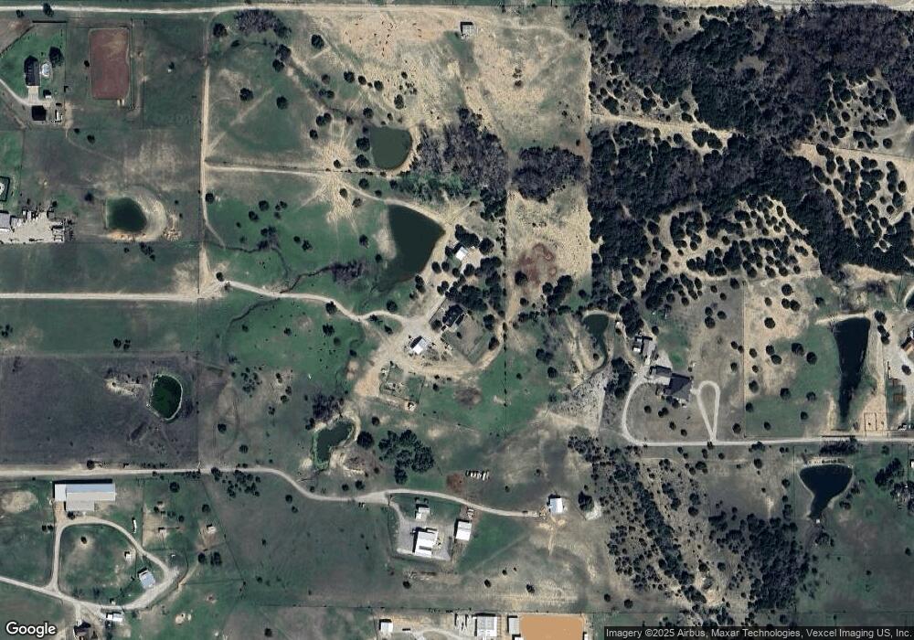
Map
Nearby Homes
- 162 Bittersweet Trail
- 201 Flat Rock Ln
- 950 Johnson Bend Rd
- 175 Bittersweet Trail
- TBD Fm 920 Peaster Hwy
- 4320 Fm 920
- 111 Sharla Smelley Rd
- 1205 Johnson Bend Rd
- 4200 Fm 920
- 3601 Oak Cir
- 1047 Twin Creeks Dr
- 3032 Perkins Ln
- 3533 Fir St
- 1043 Twin Creeks Dr
- 1024 Twin Creeks Dr
- 1027 Twin Creeks Dr
- 3667 Oak Cir
- 300 Constitution Ct
- 341 Sharla Smelley Rd
- 319 Green Acres Rd
- 4938 Fm 920
- 830 Johnson Bend Rd
- 982 Johnson Bend Rd
- 154 Bittersweet Trail
- 144 Bittersweet Trail
- 148 Bittersweet Trail
- 158 Bittersweet Trail
- 138 Bittersweet Trail
- 178 Bittersweet Trail
- 166 Bittersweet Trail
- 128 Bittersweet Trail
- 4900 Fm 920
- 770 Johnson Bend Rd
- 124 Bittersweet Trail
- 149 Bittersweet Trail
- 5110 Fm 920
- 5250 Fm 920
- 137 Bittersweet Trail
- 900 Johnson Bend Rd
- 120 Bittersweet Trail