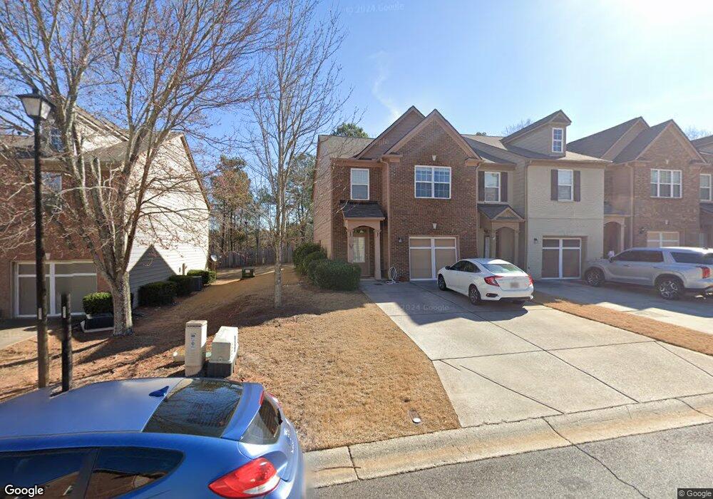
5074 Sherwood Way Unit 36 Cumming, GA 30040
Estimated Value: $384,000 - $408,000
3
Beds
3
Baths
1,805
Sq Ft
$219/Sq Ft
Est. Value
About This Home
This home is located at 5074 Sherwood Way Unit 36, Cumming, GA 30040 and is currently estimated at $394,632, approximately $218 per square foot. 5074 Sherwood Way Unit 36 is a home located in Forsyth County with nearby schools including George W. Whitlow Elementary School, Vickery Creek Middle School, and Forsyth Central High School.
Ownership History
Date
Name
Owned For
Owner Type
Purchase Details
Closed on
Dec 13, 2022
Sold by
Duncan Ann T
Bought by
Mehta Jay and Udani Aditi
Current Estimated Value
Home Financials for this Owner
Home Financials are based on the most recent Mortgage that was taken out on this home.
Original Mortgage
$327,750
Outstanding Balance
$304,804
Interest Rate
6.95%
Mortgage Type
New Conventional
Estimated Equity
$89,828
Purchase Details
Closed on
Aug 28, 2009
Sold by
Bowen Family Homes Inc
Bought by
Duncan Ann T
Home Financials for this Owner
Home Financials are based on the most recent Mortgage that was taken out on this home.
Original Mortgage
$147,184
Interest Rate
5.14%
Mortgage Type
FHA
Create a Home Valuation Report for This Property
The Home Valuation Report is an in-depth analysis detailing your home's value as well as a comparison with similar homes in the area
Home Values in the Area
Average Home Value in this Area
Purchase History
| Date | Buyer | Sale Price | Title Company |
|---|---|---|---|
| Mehta Jay | $345,000 | -- | |
| Duncan Ann T | $149,900 | -- |
Source: Public Records
Mortgage History
| Date | Status | Borrower | Loan Amount |
|---|---|---|---|
| Open | Mehta Jay | $327,750 | |
| Previous Owner | Duncan Ann T | $147,184 |
Source: Public Records
Tax History Compared to Growth
Tax History
| Year | Tax Paid | Tax Assessment Tax Assessment Total Assessment is a certain percentage of the fair market value that is determined by local assessors to be the total taxable value of land and additions on the property. | Land | Improvement |
|---|---|---|---|---|
| 2025 | $3,337 | $155,728 | $66,000 | $89,728 |
| 2024 | $3,337 | $154,104 | $66,000 | $88,104 |
| 2023 | $2,669 | $137,072 | $56,000 | $81,072 |
| 2022 | $538 | $93,908 | $32,000 | $61,908 |
| 2021 | $527 | $93,908 | $32,000 | $61,908 |
| 2020 | $523 | $90,236 | $32,000 | $58,236 |
| 2019 | $521 | $84,088 | $20,000 | $64,088 |
| 2018 | $521 | $78,256 | $20,000 | $58,256 |
| 2017 | $518 | $71,184 | $20,000 | $51,184 |
| 2016 | $467 | $64,704 | $16,000 | $48,704 |
| 2015 | $425 | $59,464 | $12,000 | $47,464 |
| 2014 | $1,101 | $44,876 | $12,000 | $32,876 |
Source: Public Records
Map
Nearby Homes
- 4914 Sherwood Way
- 5314 Sherwood Way
- 4706 Piney Grove Rd
- 980 Patriot Trail
- 5510 Crestwick Way
- 5960 Ellington Cove
- 5730 Weddington Dr
- 4820 Oak Grove Dr
- 5825 Crestwick Way
- 580 Washington Way
- 5935 Crestwick Way
- 2545 Gatewater Ct
- 5365 Hidden Hall Rd
- 5105 Kings Common Way
- 6330 Turfway Dr Unit II
- 4920 Duke Dr Unit 1
- 5040 Duke Dr
- 6260 Sturbridge Ln
- 5074 Sherwood Way
- 5070 Sherwood Way
- 5070 Sherwood Way Unit 2
- 5066 Sherwood Way
- 5084 Sherwood Way
- 5088 Sherwood Way
- 5092 Sherwood Way
- 5058 Sherwood Way
- 5096 Sherwood Way Unit 2
- 5096 Sherwood Way Unit 5096
- 5096 Sherwood Way
- 5096 Sherwood Way Unit 40
- 5054 Sherwood Way
- 5054 Sherwood Way Unit 5054
- 5102 Sherwood Way
- 5075 Sherwood Way Unit 5075
- 5106 Sherwood Way Unit 5106
- 5106 Sherwood Way
- 5106 Sherwood Way Unit 42
- 5071 Sherwood Way