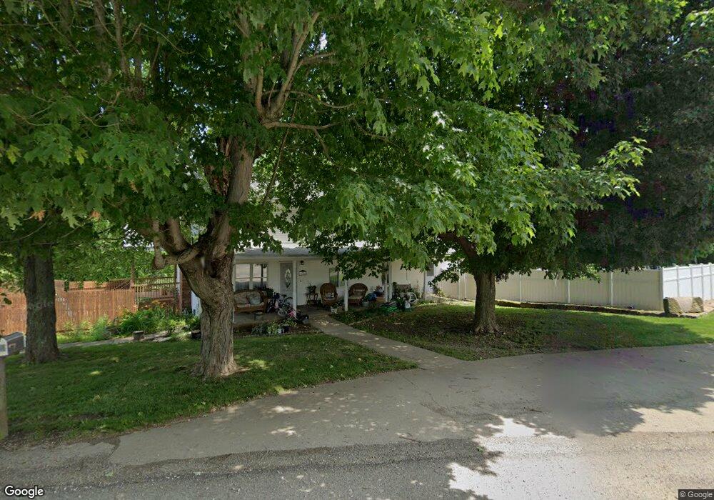
50748 State Route 26 Jerusalem, OH 43747
Estimated Value: $100,000 - $221,000
--
Bed
3
Baths
1,872
Sq Ft
$77/Sq Ft
Est. Value
About This Home
This home is located at 50748 State Route 26, Jerusalem, OH 43747 and is currently estimated at $144,602, approximately $77 per square foot. 50748 State Route 26 is a home located in Monroe County with nearby schools including Beallsville Elementary School, River Elementary School, and Beallsville High School.
Ownership History
Date
Name
Owned For
Owner Type
Purchase Details
Closed on
Feb 6, 2025
Sold by
Watson Scot Monroe and Watson Mary L
Bought by
Mineral Development Inc
Current Estimated Value
Purchase Details
Closed on
Aug 9, 2021
Sold by
Stephens Connie and Wheeler Connie
Bought by
Swallie Rhett and Swallie Jaime
Purchase Details
Closed on
Jun 22, 2021
Sold by
Estate Of Jesse Stephens
Bought by
Stephens Connie
Create a Home Valuation Report for This Property
The Home Valuation Report is an in-depth analysis detailing your home's value as well as a comparison with similar homes in the area
Home Values in the Area
Average Home Value in this Area
Purchase History
| Date | Buyer | Sale Price | Title Company |
|---|---|---|---|
| Mineral Development Inc | -- | None Listed On Document | |
| Swallie Rhett | -- | None Available | |
| Stephens Connie | -- | None Available |
Source: Public Records
Tax History Compared to Growth
Tax History
| Year | Tax Paid | Tax Assessment Tax Assessment Total Assessment is a certain percentage of the fair market value that is determined by local assessors to be the total taxable value of land and additions on the property. | Land | Improvement |
|---|---|---|---|---|
| 2024 | $786 | $27,760 | $7,910 | $19,850 |
| 2023 | $786 | $27,760 | $7,910 | $19,850 |
| 2022 | $811 | $27,760 | $7,910 | $19,850 |
| 2021 | $757 | $25,670 | $6,440 | $19,230 |
| 2020 | $757 | $25,670 | $6,440 | $19,230 |
| 2019 | $739 | $25,700 | $6,470 | $19,230 |
| 2018 | $706 | $23,730 | $5,390 | $18,340 |
| 2017 | $711 | $23,730 | $5,390 | $18,340 |
| 2016 | $721 | $23,730 | $5,390 | $18,340 |
| 2015 | $642 | $19,940 | $4,460 | $15,480 |
| 2014 | $642 | $19,940 | $4,460 | $15,480 |
| 2013 | $672 | $19,350 | $4,330 | $15,020 |
Source: Public Records
Map
Nearby Homes
- 51650 State Route 26
- 50911 State Route 26
- 52388 East Dr
- 52777 Main St
- 53525 Somerton Hwy
- 314 Devon Rd
- 129 Maple Ave
- 123 Andover Rd
- 34937 Miltonsburg Calais Rd
- 208 Center St
- 147 Andover Rd
- 220 Oaklawn Ave
- 218 Oaklawn Ave
- 212 Oaklawn Ave
- 108 Oaklawn Ave
- 315 Eastern Ave
- 108 S Paul St
- 0 Barber Ridge Rd
- 108.5 S Paul Aly
- 210 E Church St
- 50741 State Route 26
- 51500 State Route 26
- 51493 State Route 26
- 51578 State Route 26
- 51642 State Route 26
- 51645 State Route 26
- 51722 State Route 26
- 51304 State Route 26
- 51304 State Route 26
- 51719 State Route 26
- 51725 State Route 26
- 51772 State Route 26
- 51125 State Route 26
- 40769 Paine Rd
- 51111 State Route 26
- 51836 State Route 26
- 51859 State Route 26
- 51285 State Route 26
- 51021 State Route 26
- 51904 State Route 26