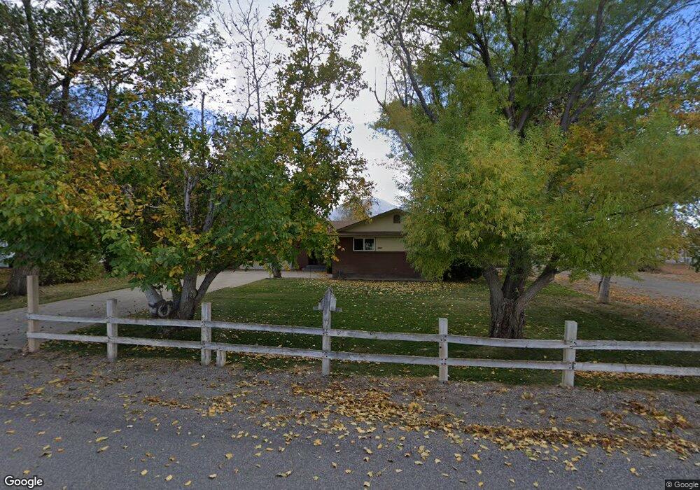
5079 W 12400 S Payson, UT 84651
Estimated Value: $707,000 - $1,348,000
4
Beds
3
Baths
3,224
Sq Ft
$314/Sq Ft
Est. Value
About This Home
This home is located at 5079 W 12400 S, Payson, UT 84651 and is currently estimated at $1,013,924, approximately $314 per square foot. 5079 W 12400 S is a home located in Utah County with nearby schools including Taylor Elementary School, Mt. Nebo Junior High School, and Salem Junior High School.
Ownership History
Date
Name
Owned For
Owner Type
Purchase Details
Closed on
Jul 7, 1998
Sold by
Daley David G
Bought by
Burningham Genevieve T and Pino James W
Current Estimated Value
Home Financials for this Owner
Home Financials are based on the most recent Mortgage that was taken out on this home.
Original Mortgage
$105,000
Interest Rate
7.03%
Purchase Details
Closed on
Oct 18, 1996
Sold by
Nielsen Clarence
Bought by
Burningham Genevieve T
Home Financials for this Owner
Home Financials are based on the most recent Mortgage that was taken out on this home.
Original Mortgage
$140,000
Interest Rate
8.37%
Create a Home Valuation Report for This Property
The Home Valuation Report is an in-depth analysis detailing your home's value as well as a comparison with similar homes in the area
Home Values in the Area
Average Home Value in this Area
Purchase History
| Date | Buyer | Sale Price | Title Company |
|---|---|---|---|
| Burningham Genevieve T | -- | Provo Land Title | |
| Burningham Genevieve T | -- | -- |
Source: Public Records
Mortgage History
| Date | Status | Borrower | Loan Amount |
|---|---|---|---|
| Closed | Burningham Genevieve T | $105,000 | |
| Previous Owner | Burningham Genevieve T | $140,000 |
Source: Public Records
Tax History Compared to Growth
Tax History
| Year | Tax Paid | Tax Assessment Tax Assessment Total Assessment is a certain percentage of the fair market value that is determined by local assessors to be the total taxable value of land and additions on the property. | Land | Improvement |
|---|---|---|---|---|
| 2025 | $3,020 | $323,980 | $361,200 | $470,900 |
| 2024 | $3,020 | $301,901 | $0 | $0 |
| 2023 | $2,999 | $299,988 | $0 | $0 |
| 2022 | $2,646 | $721,900 | $366,700 | $355,200 |
| 2021 | $2,297 | $522,500 | $255,400 | $267,100 |
| 2020 | $2,017 | $486,200 | $219,100 | $267,100 |
| 2019 | $1,881 | $426,600 | $174,000 | $252,600 |
| 2018 | $1,817 | $384,300 | $154,000 | $230,300 |
| 2017 | $1,599 | $124,330 | $0 | $0 |
| 2016 | $1,423 | $107,268 | $0 | $0 |
Source: Public Records
Map
Nearby Homes
- 943 N 200 E Unit 31
- 961 N 120 E
- Pine Plan at Stratton Acres
- Willow Plan at Stratton Acres
- Aspen Plan at Stratton Acres
- Cottonwood Plan at Stratton Acres
- 1032 N Apple Seed Ln
- 116 E 840 N
- 894 N Apple Seed Ln
- 109 W 930 N
- McIntosh Plan at The Orchards
- Honey Plan at The Orchards
- Cranford Plan at The Orchards
- Monroe Plan at The Orchards
- Benson Plan at The Orchards
- Gala Plan at The Orchards
- 933 N 200 E
- 933 N 200 E Unit 32
- 951 N 215 W
- 949 N 215 W
- 5059 W 12400 S
- 5121 W 12400 S
- 5025 W 12400 S
- 5021 W 12400 S
- 4989 W 12400 S
- 12455 S 5200 W
- 5014 W 12400 S
- 12345 S 5200 W
- 12361 S 5200 W
- 12416 S 5200 W
- 12327 S 5200 St W
- 12567 S 5200 W
- 12261 S 5200 W
- 12225 S 5200 W
- 12622 S 5200 W
- 12685 S 5200 W
- 4777 W 12400 S
- 12357 S 4800 W
- 5080 W 12800 S
- 5006 W 12800 S