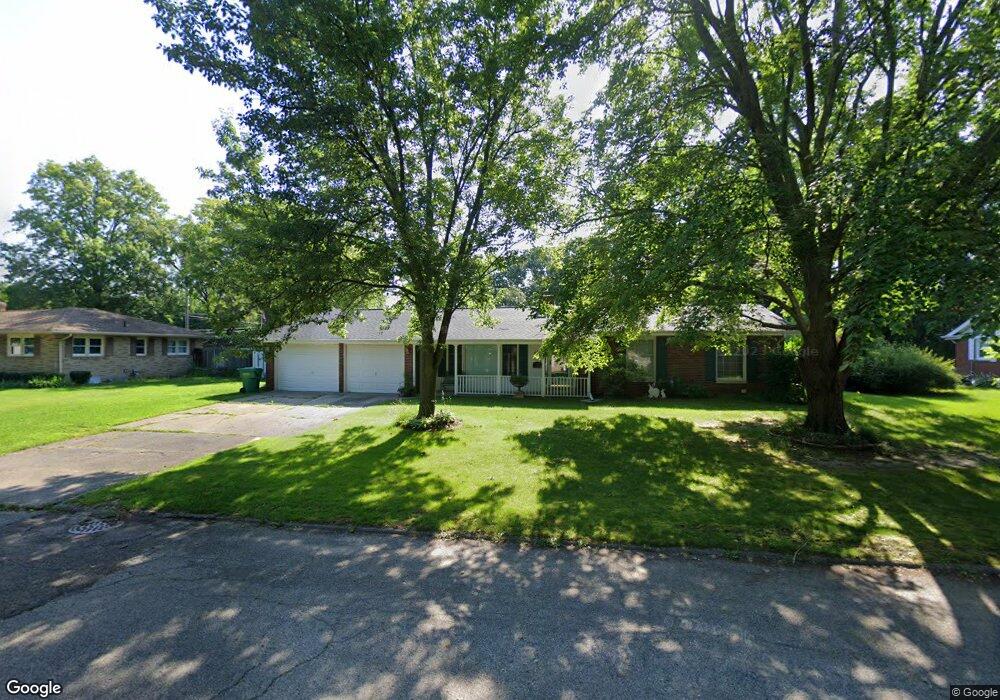
508 Bauer St Dowagiac, MI 49047
Estimated Value: $217,000 - $255,000
3
Beds
2
Baths
1,400
Sq Ft
$168/Sq Ft
Est. Value
About This Home
This home is located at 508 Bauer St, Dowagiac, MI 49047 and is currently estimated at $234,980, approximately $167 per square foot. 508 Bauer St is a home located in Cass County with nearby schools including Justus Gage Elementary School, Dowagiac Middle School, and Union High School.
Ownership History
Date
Name
Owned For
Owner Type
Purchase Details
Closed on
Feb 23, 2012
Sold by
Viteri Jaime
Bought by
Piper Guy and Piper Martha
Current Estimated Value
Purchase Details
Closed on
Jun 24, 2011
Sold by
Federal Home Loan Mortgage Corporation
Bought by
Viteri Jaime
Purchase Details
Closed on
Aug 18, 2010
Sold by
Ferrier Gregory S and Ferrier Laurie
Bought by
Federal Home Loan Mortgage Corp
Purchase Details
Closed on
Dec 12, 2007
Sold by
Ferrier Gregory S and Ferrier Laurie
Bought by
The Huntington National Bank
Create a Home Valuation Report for This Property
The Home Valuation Report is an in-depth analysis detailing your home's value as well as a comparison with similar homes in the area
Home Values in the Area
Average Home Value in this Area
Purchase History
| Date | Buyer | Sale Price | Title Company |
|---|---|---|---|
| Piper Guy | $78,500 | Meridian Title Corp | |
| Viteri Jaime | $67,000 | None Available | |
| Federal Home Loan Mortgage Corp | $109,474 | None Available | |
| The Huntington National Bank | $28,685 | None Available |
Source: Public Records
Tax History Compared to Growth
Tax History
| Year | Tax Paid | Tax Assessment Tax Assessment Total Assessment is a certain percentage of the fair market value that is determined by local assessors to be the total taxable value of land and additions on the property. | Land | Improvement |
|---|---|---|---|---|
| 2025 | $2,663 | $119,100 | $119,100 | $0 |
| 2024 | $1,838 | $114,000 | $114,000 | $0 |
| 2023 | $1,690 | $87,200 | $0 | $0 |
| 2022 | $1,608 | $77,400 | $0 | $0 |
| 2021 | $2,328 | $69,300 | $0 | $0 |
| 2020 | $1,545 | $60,300 | $0 | $0 |
| 2019 | $2,260 | $58,000 | $0 | $0 |
| 2018 | $1,475 | $54,000 | $0 | $0 |
| 2017 | $1,444 | $53,800 | $0 | $0 |
| 2016 | $1,420 | $51,700 | $0 | $0 |
| 2015 | -- | $55,500 | $0 | $0 |
| 2011 | -- | $51,000 | $0 | $0 |
Source: Public Records
Map
Nearby Homes
- 510 Bauer St
- 506 Bauer St
- 213 Cross St
- 213 Cross St
- 509 Bauer St
- 504 Bauer St
- 507 Bauer St
- 211 Cross St
- 211 Cross St
- 511 Bauer St
- 205 Cross St
- 406 W Wayne St
- 504 Sunnyside Dr
- 314 W Prairie Ronde St
- 502 Bauer St
- 412 W Wayne St
- 502 Sunnyside Dr
- 316 W Prairie Ronde St
- 316 W Prairie Ronde St
- 404 W Wayne St