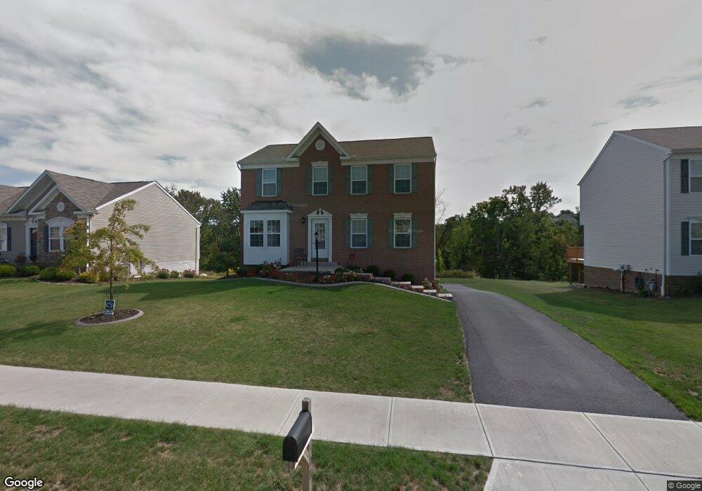
508 Blue Ridge Dr Coraopolis, PA 15108
Estimated Value: $399,465 - $452,000
4
Beds
3
Baths
1,894
Sq Ft
$221/Sq Ft
Est. Value
About This Home
This home is located at 508 Blue Ridge Dr, Coraopolis, PA 15108 and is currently estimated at $419,116, approximately $221 per square foot. 508 Blue Ridge Dr is a home located in Allegheny County with nearby schools including Moon Area High School.
Ownership History
Date
Name
Owned For
Owner Type
Purchase Details
Closed on
Apr 29, 2010
Sold by
Maronda Homes Inc
Bought by
Forkey Lori S
Current Estimated Value
Home Financials for this Owner
Home Financials are based on the most recent Mortgage that was taken out on this home.
Original Mortgage
$199,519
Outstanding Balance
$136,642
Interest Rate
5.5%
Mortgage Type
FHA
Estimated Equity
$282,474
Create a Home Valuation Report for This Property
The Home Valuation Report is an in-depth analysis detailing your home's value as well as a comparison with similar homes in the area
Home Values in the Area
Average Home Value in this Area
Purchase History
| Date | Buyer | Sale Price | Title Company |
|---|---|---|---|
| Forkey Lori S | $203,200 | -- |
Source: Public Records
Mortgage History
| Date | Status | Borrower | Loan Amount |
|---|---|---|---|
| Open | Forkey Lori S | $199,519 |
Source: Public Records
Tax History Compared to Growth
Tax History
| Year | Tax Paid | Tax Assessment Tax Assessment Total Assessment is a certain percentage of the fair market value that is determined by local assessors to be the total taxable value of land and additions on the property. | Land | Improvement |
|---|---|---|---|---|
| 2025 | $5,326 | $170,400 | $45,300 | $125,100 |
| 2024 | $5,326 | $170,400 | $45,300 | $125,100 |
| 2023 | $5,137 | $170,400 | $45,300 | $125,100 |
| 2022 | $5,137 | $170,400 | $45,300 | $125,100 |
| 2021 | $5,136 | $170,400 | $45,300 | $125,100 |
| 2020 | $5,008 | $170,400 | $45,300 | $125,100 |
| 2019 | $4,871 | $170,400 | $45,300 | $125,100 |
| 2018 | $806 | $170,400 | $45,300 | $125,100 |
| 2017 | $4,533 | $167,700 | $45,300 | $122,400 |
| 2016 | $793 | $167,700 | $45,300 | $122,400 |
| 2015 | $793 | $167,700 | $45,300 | $122,400 |
| 2014 | $4,414 | $167,700 | $45,300 | $122,400 |
Source: Public Records
Map
Nearby Homes
- 135 Pear Orchard Rd
- 824 Balmoral Ct
- 203 Ascot Ct
- Somerset Plan at Victoria Ridge
- Rockford Plan at Victoria Ridge
- Birmingham Plan at Victoria Ridge
- Eisenhower Plan at Victoria Ridge
- Carlisle Plan at Victoria Ridge
- Truman Plan at Victoria Ridge
- Chattanooga Plan at Victoria Ridge
- Cleveland Plan at Victoria Ridge
- 209 Lockheed Dr
- 506 Isabella Ct
- 208 Lochinver Dr
- 713 Ravenshire Ct
- 511 Isabella Ct
- 115 Elm Ln
- 174 Lockheed Dr
- 176 Lockheed Dr
- 178 Lockheed Dr
- 510 Blue Ridge Dr
- 506 Blue Ridge Dr
- 512 Blue Ridge Dr
- 504 Blue Ridge Dr
- 502 Blue Ridge Dr
- 514 Blue Ridge Dr
- 509 Blue Ridge Dr
- 513 Blue Ridge Dr
- 511 Blue Ridge Dr
- 507 Blue Ridge Dr
- 505 Blue Ridge Dr
- 516 Blue Ridge Dr
- 500 Blue Ridge Dr
- 515 Blue Ridge Dr
- 503 Blue Ridge Dr
- 517 Blue Ridge Dr
- 518 Blue Ridge Dr
- 501 Blue Ridge Dr
- 519 Blue Ridge Dr
- 520 Blue Ridge Dr