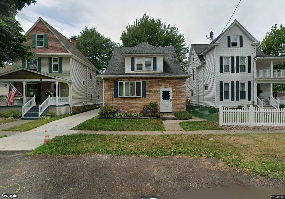
508 Bryant St North Tonawanda, NY 14120
Estimated Value: $187,000 - $233,813
4
Beds
2
Baths
1,552
Sq Ft
$142/Sq Ft
Est. Value
About This Home
This home is located at 508 Bryant St, North Tonawanda, NY 14120 and is currently estimated at $220,203, approximately $141 per square foot. 508 Bryant St is a home located in Niagara County with nearby schools including North Tonawanda Intermediate School, St Matthew Lutheran School, and New Life Christian School.
Ownership History
Date
Name
Owned For
Owner Type
Purchase Details
Closed on
Dec 24, 2012
Sold by
Dziadzio Jason J
Bought by
Ward Andrew A
Current Estimated Value
Home Financials for this Owner
Home Financials are based on the most recent Mortgage that was taken out on this home.
Original Mortgage
$59,879
Outstanding Balance
$41,634
Interest Rate
3.37%
Mortgage Type
FHA
Estimated Equity
$178,569
Create a Home Valuation Report for This Property
The Home Valuation Report is an in-depth analysis detailing your home's value as well as a comparison with similar homes in the area
Home Values in the Area
Average Home Value in this Area
Purchase History
| Date | Buyer | Sale Price | Title Company |
|---|---|---|---|
| Ward Andrew A | $61,000 | None Available |
Source: Public Records
Mortgage History
| Date | Status | Borrower | Loan Amount |
|---|---|---|---|
| Open | Ward Andrew A | $59,879 |
Source: Public Records
Tax History Compared to Growth
Tax History
| Year | Tax Paid | Tax Assessment Tax Assessment Total Assessment is a certain percentage of the fair market value that is determined by local assessors to be the total taxable value of land and additions on the property. | Land | Improvement |
|---|---|---|---|---|
| 2024 | $2,787 | $79,900 | $12,600 | $67,300 |
| 2023 | $2,687 | $79,900 | $12,600 | $67,300 |
| 2022 | $2,148 | $79,900 | $12,600 | $67,300 |
| 2021 | $2,107 | $79,900 | $12,600 | $67,300 |
| 2020 | $1,961 | $79,900 | $12,600 | $67,300 |
| 2019 | $988 | $79,900 | $12,600 | $67,300 |
| 2018 | $1,870 | $79,900 | $12,600 | $67,300 |
| 2017 | $1,787 | $79,900 | $12,600 | $67,300 |
| 2016 | $1,944 | $79,900 | $12,600 | $67,300 |
| 2015 | -- | $79,900 | $12,600 | $67,300 |
| 2014 | -- | $55,000 | $12,600 | $42,400 |
Source: Public Records
Map
Nearby Homes
- 3947 Wheatfield St
- 3941 Wheatfield St
- 3911 Wheatfield St
- 114 Keil St
- 228 Robinson St
- 417 Robinson St
- 415 Oliver St
- 512 Oliver St
- 364 Schenck St
- 385 Oliver St
- 455 Robinson St
- 223 Schenck St
- 203 Edward St
- 51 Ritchie Lot #2 Ave
- 299 Bryant St
- 148 Schenck St
- 29 1st Ave
- 292 Niagara St
- 34 2nd Ave
- 30 2nd Ave
- 510 Bryant St
- 506 Bryant St
- 355 Wheatfield St
- 500 Bryant St
- 494 Bryant St
- 490 Bryant St
- 491 Payne Ave
- 339 Wheatfield St
- 346 Miller St
- 362 Wheatfield St
- 483 Payne Ave
- 366 Wheatfield St
- 358 Wheatfield St
- 479 Payne Ave
- 352 Miller St
- 372 Wheatfield St
- 354 Miller St
- 380 Wheatfield St
- 358 Miller St
- 387 Wheatfield St