Estimated Value: $282,000 - $347,285
3
Beds
2
Baths
2,374
Sq Ft
$135/Sq Ft
Est. Value
About This Home
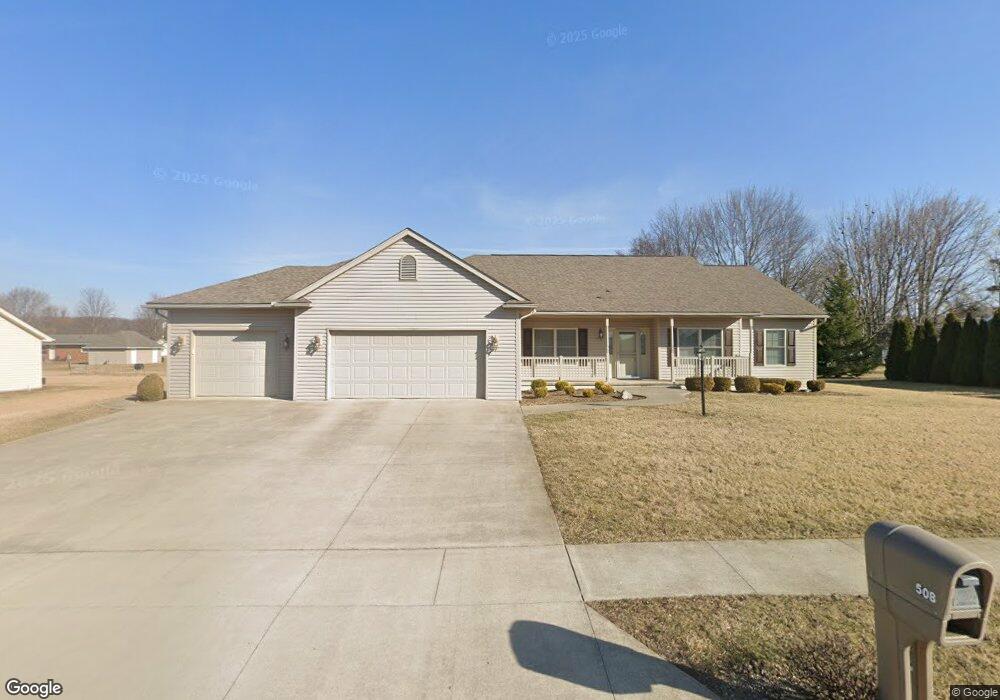
This home is located at 508 Clint Dr, Ada, OH 45810 and is currently estimated at $321,071, approximately $135 per square foot. 508 Clint Dr is a home located in Hardin County with nearby schools including Ada Elementary School and Ada High School.
Ownership History
Date
Name
Owned For
Owner Type
Purchase Details
Closed on
Oct 24, 2025
Sold by
James F Wyrick Declaration Of Trust and Marvine L Wyrick Declaration Of Trust
Bought by
Wyrick James F and Wyrick Marvine L
Current Estimated Value
Purchase Details
Closed on
Sep 29, 2025
Sold by
Marvine L Wyrick Declaration Of Trust and Wyrick Marvine L
Bought by
Wyrick James F and Amended Marvine
Purchase Details
Closed on
Aug 1, 2012
Sold by
Wyrick James F and Wyrick Marvine L
Bought by
Wyrick Marvine L
Purchase Details
Closed on
Jul 2, 2010
Sold by
Simon Properties
Bought by
Wyrick James F and Wyrick Marvine L
Home Financials for this Owner
Home Financials are based on the most recent Mortgage that was taken out on this home.
Original Mortgage
$180,437
Interest Rate
4%
Mortgage Type
Construction
Purchase Details
Closed on
Aug 4, 2000
Bought by
Simon Properties Llc
Create a Home Valuation Report for This Property
The Home Valuation Report is an in-depth analysis detailing your home's value as well as a comparison with similar homes in the area
Home Values in the Area
Average Home Value in this Area
Purchase History
| Date | Buyer | Sale Price | Title Company |
|---|---|---|---|
| Wyrick James F | -- | None Listed On Document | |
| Wyrick James F | -- | None Listed On Document | |
| Wyrick Marvine L | -- | None Available | |
| Wyrick James F | $21,000 | None Available | |
| Simon Properties Llc | $25,000 | -- |
Source: Public Records
Mortgage History
| Date | Status | Borrower | Loan Amount |
|---|---|---|---|
| Previous Owner | Wyrick James F | $180,437 |
Source: Public Records
Tax History
| Year | Tax Paid | Tax Assessment Tax Assessment Total Assessment is a certain percentage of the fair market value that is determined by local assessors to be the total taxable value of land and additions on the property. | Land | Improvement |
|---|---|---|---|---|
| 2024 | $3,678 | $104,770 | $8,860 | $95,910 |
| 2023 | $3,669 | $104,770 | $8,860 | $95,910 |
| 2022 | $3,436 | $86,510 | $8,450 | $78,060 |
| 2021 | $3,769 | $86,510 | $8,450 | $78,060 |
| 2020 | $3,821 | $86,510 | $8,450 | $78,060 |
| 2019 | $3,515 | $81,100 | $8,050 | $73,050 |
| 2018 | $3,438 | $81,100 | $8,050 | $73,050 |
| 2017 | $3,361 | $81,100 | $8,050 | $73,050 |
| 2016 | $2,999 | $76,750 | $4,550 | $72,200 |
| 2015 | $3,263 | $76,750 | $4,550 | $72,200 |
| 2014 | $2,921 | $76,750 | $4,550 | $72,200 |
| 2013 | $2,866 | $72,090 | $4,550 | $67,540 |
Source: Public Records
Map
Nearby Homes
- 820 S Main St
- 710 S Main St
- 722 S Johnson St
- 318 Willeke Ave
- 314 E University Ave
- 308-310 S Simon St
- 210 N Gilbert St
- 211 S Main St
- 510 E Lehr Ave Unit 510R
- 2959 County Road 60
- 1689 County Road 50
- 420 N Simon St
- 327 W North Ave
- 530 N Main St
- 442 Edwards St
- 629 N Main St
- 503 E North Ave
- 724 N Main St
- 746 N Main St Unit 61
- 746 N Main St Unit 63
- 512 Clint Dr
- XXX Clint Dr
- 517 Clint Dr
- 509 Pleasantview St Unit 511
- 622 Clint Dr
- 505 Pleasantview St
- 507 Clint Dr
- 503 Pleasantview St
- 613 Pleasantview St Unit 615
- 506 Pleasantview St
- 1005 Northernview St
- 621 Clint Dr
- 1125 Northernview Dr
- 1003 Northernview St
- 502 Pleasantview St
- 624 Clint Dr
- 614 Pleasantview St
- 510 Pleasantview St
- 627 Clint Dr
- 620 Pleasantview St
Your Personal Tour Guide
Ask me questions while you tour the home.