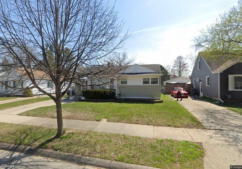
508 E Baker Ave Clawson, MI 48017
Estimated Value: $244,000 - $282,000
3
Beds
2
Baths
964
Sq Ft
$270/Sq Ft
Est. Value
About This Home
This home is located at 508 E Baker Ave, Clawson, MI 48017 and is currently estimated at $260,702, approximately $270 per square foot. 508 E Baker Ave is a home located in Oakland County with nearby schools including Clawson Middle School, Clawson High School, and Guardian Angels School.
Ownership History
Date
Name
Owned For
Owner Type
Purchase Details
Closed on
Aug 9, 2022
Sold by
Richard Kruczynski
Bought by
Lau Carol D
Current Estimated Value
Purchase Details
Closed on
Sep 9, 2011
Sold by
The June Marguerite Mitchell Living Trus and Witt Janice M
Bought by
Kruczynski Richard and Kruczynski Heather
Purchase Details
Closed on
Dec 10, 2009
Sold by
Mitchell June Marguerite and Mitchell June M
Bought by
The June Marguerite Mitchell Living Trus
Create a Home Valuation Report for This Property
The Home Valuation Report is an in-depth analysis detailing your home's value as well as a comparison with similar homes in the area
Home Values in the Area
Average Home Value in this Area
Purchase History
| Date | Buyer | Sale Price | Title Company |
|---|---|---|---|
| Lau Carol D | $200,000 | -- | |
| Kruczynski Richard | $82,000 | Metro Hills Title Agency Llc | |
| The June Marguerite Mitchell Living Trus | -- | None Available |
Source: Public Records
Tax History
| Year | Tax Paid | Tax Assessment Tax Assessment Total Assessment is a certain percentage of the fair market value that is determined by local assessors to be the total taxable value of land and additions on the property. | Land | Improvement |
|---|---|---|---|---|
| 2025 | $6,936 | $115,040 | $0 | $0 |
| 2024 | $6,713 | $110,280 | $0 | $0 |
| 2023 | $6,424 | $100,670 | $0 | $0 |
| 2022 | $2,390 | $90,910 | $0 | $0 |
| 2021 | $2,341 | $84,720 | $0 | $0 |
| 2020 | $2,268 | $81,780 | $0 | $0 |
| 2019 | $2,343 | $77,750 | $0 | $0 |
| 2018 | $2,327 | $71,480 | $0 | $0 |
| 2017 | $2,313 | $67,380 | $0 | $0 |
| 2016 | $2,348 | $62,980 | $0 | $0 |
| 2015 | -- | $57,870 | $0 | $0 |
| 2014 | -- | $50,020 | $0 | $0 |
| 2011 | -- | $45,210 | $0 | $0 |
Source: Public Records
Map
Nearby Homes
- 550 Roth Blvd
- 609 E Baker Ave
- 917 Kenwood St
- 911 Kenwood St
- 909 Kenwood St
- 918 Kenwood St
- 57 W Elmwood Ave
- 45 E Tacoma St
- 150 Wilson Ave
- 114 Knollwood Blvd
- 101 Jefferson Ave
- 44 W Tacoma St
- 1121 Ottawa Ave
- 124 Leroy Ave
- 1101 Donald Ave
- 1205 Donald Ave
- 428 Bauman Ave
- 135 Gerald Ave
- 503 W Elmwood Ave
- 138 Chopin St
- 496 E Baker Ave
- 516 E Baker Ave
- 486 E Baker Ave
- 507 Roth Blvd
- 528 E Baker Ave
- 517 Roth Blvd
- 497 Roth Blvd
- 487 Roth Blvd
- 476 E Baker Ave
- 527 Roth Blvd
- 495 E Baker Ave
- 466 E Baker Ave
- 505 E Baker Ave
- 534 E Baker Ave
- 537 Roth Blvd
- 475 Roth Blvd
- 487 E Baker Ave
- 523 E Baker Ave
- 477 E Baker Ave
- 546 E Baker Ave
Your Personal Tour Guide
Ask me questions while you tour the home.