M
Seller's Agent in 2014
Mary K. Preece
One Stop Realty
1 Total Sale

Estimated Value: $916,000 - $1,073,000
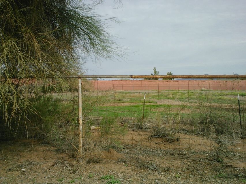
LEHI!!! Finally a lot in Lehi that is affordable. Storage Container does not convey.
Last Agent to Sell the Property
One Stop Realty License #SA625295000 Listed on: 02/28/2014
Last Buyer's Agent
Amy Bullock
HomeSmart Lifestyles License #SA639408000

| Date | Buyer | Sale Price | Title Company |
|---|---|---|---|
| Mckinnon Timothy S | $81,000 | Security Title Agency Inc | |
| Cardon Kristen | $68,000 | Millennium Title | |
| Lindsey William Travis | $95,000 | Security Title Agency | |
| Alari Phoenix Llc | -- | Security Title Agency |
| Date | Status | Borrower | Loan Amount |
|---|---|---|---|
| Previous Owner | Cardon Kristen | $34,000 |
| Date | Event | Price | List to Sale | Price per Sq Ft |
|---|---|---|---|---|
| 05/13/2014 05/13/14 | Sold | $68,000 | +4.6% | -- |
| 04/01/2014 04/01/14 | Pending | -- | -- | -- |
| 02/27/2014 02/27/14 | For Sale | $65,000 | -- | -- |
| Year | Tax Paid | Tax Assessment Tax Assessment Total Assessment is a certain percentage of the fair market value that is determined by local assessors to be the total taxable value of land and additions on the property. | Land | Improvement |
|---|---|---|---|---|
| 2025 | $3,921 | $45,823 | -- | -- |
| 2024 | $3,935 | $43,641 | -- | -- |
| 2023 | $3,935 | $66,370 | $11,470 | $54,900 |
| 2022 | $3,841 | $52,190 | $9,020 | $43,170 |
| 2021 | $3,895 | $55,060 | $11,010 | $44,050 |
| 2020 | $3,836 | $51,610 | $10,320 | $41,290 |
| 2019 | $4,145 | $48,320 | $9,660 | $38,660 |
| 2018 | $3,978 | $44,610 | $8,920 | $35,690 |
| 2017 | $1,835 | $19,660 | $3,930 | $15,730 |
| 2016 | $836 | $8,865 | $8,865 | $0 |
| 2015 | $838 | $8,288 | $8,288 | $0 |
M
Seller's Agent in 2014
Mary K. Preece
One Stop Realty
1 Total Sale
A
Buyer's Agent in 2014
Amy Bullock
HomeSmart Lifestyles
Source: Arizona Regional Multiple Listing Service (ARMLS)
MLS Number: 5076626
APN: 136-11-102
Disclaimer: Certain information contained herein is derived from information provided by parties other than Homes.com. All information provided is deemed reliable, but is not guaranteed to be accurate and should be independently verified.
![]() All information should be verified by the recipient and none is guaranteed as accurate by ARMLS
All information should be verified by the recipient and none is guaranteed as accurate by ARMLS
Listing Information presented by local MLS brokerage: Ten-X, local REALTOR®- Arlene Richardson - (888)-952-6393
Ask me questions while you tour the home.