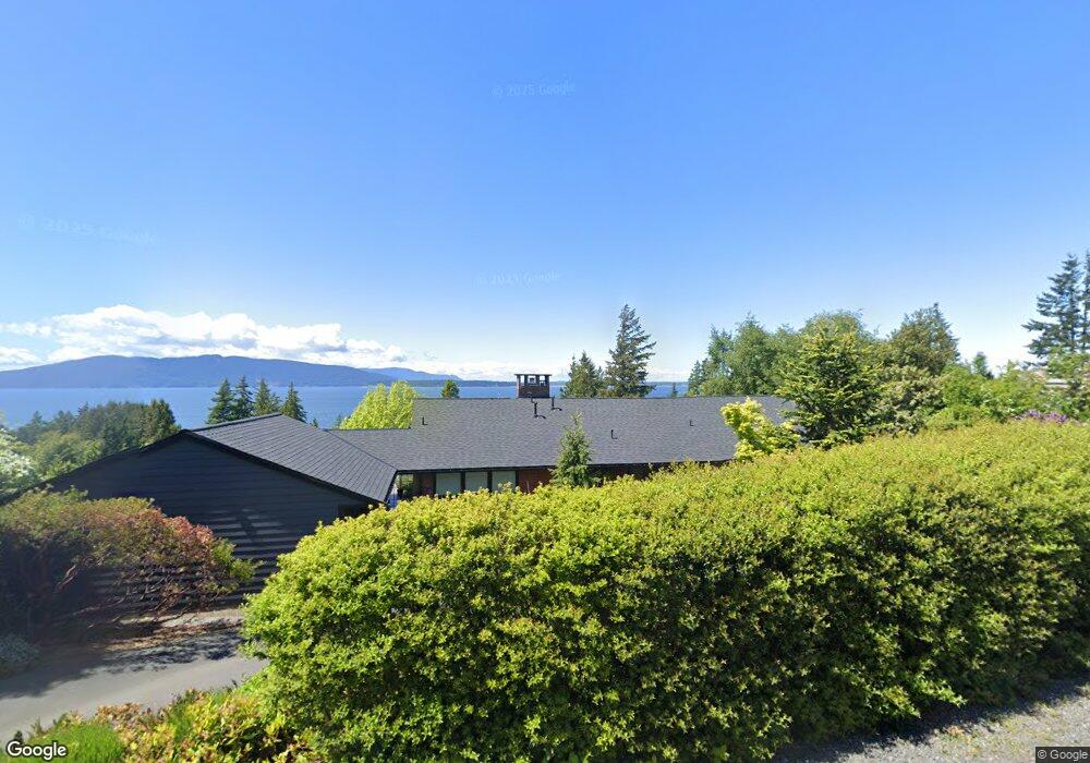
508 Fieldston Rd Bellingham, WA 98225
Edgemoor NeighborhoodEstimated Value: $1,509,304 - $1,980,000
3
Beds
2
Baths
1,775
Sq Ft
$941/Sq Ft
Est. Value
About This Home
This home is located at 508 Fieldston Rd, Bellingham, WA 98225 and is currently estimated at $1,670,576, approximately $941 per square foot. 508 Fieldston Rd is a home located in Whatcom County with nearby schools including Lowell Elementary School, Fairhaven Middle School, and Sehome High School.
Ownership History
Date
Name
Owned For
Owner Type
Purchase Details
Closed on
Mar 4, 2009
Sold by
Hackett Holdings Llc
Bought by
Wisner David
Current Estimated Value
Home Financials for this Owner
Home Financials are based on the most recent Mortgage that was taken out on this home.
Original Mortgage
$417,000
Interest Rate
4.78%
Mortgage Type
Purchase Money Mortgage
Purchase Details
Closed on
Feb 24, 2004
Sold by
Paulsen Peter H
Bought by
Hackett Holdings Llc
Home Financials for this Owner
Home Financials are based on the most recent Mortgage that was taken out on this home.
Original Mortgage
$126,000
Interest Rate
5.62%
Mortgage Type
Purchase Money Mortgage
Purchase Details
Closed on
Nov 5, 2003
Sold by
Brunhaver William H and Brunhaver Peggy J
Bought by
Paulsen Peter H
Create a Home Valuation Report for This Property
The Home Valuation Report is an in-depth analysis detailing your home's value as well as a comparison with similar homes in the area
Home Values in the Area
Average Home Value in this Area
Purchase History
| Date | Buyer | Sale Price | Title Company |
|---|---|---|---|
| Wisner David | $640,280 | Whatcom Land Title | |
| Hackett Holdings Llc | $475,000 | Whatcom Land Title | |
| Paulsen Peter H | $470,000 | Whatcom Land Title |
Source: Public Records
Mortgage History
| Date | Status | Borrower | Loan Amount |
|---|---|---|---|
| Closed | Wisner David | $417,000 | |
| Previous Owner | Hackett Holdings Llc | $126,000 |
Source: Public Records
Tax History
| Year | Tax Paid | Tax Assessment Tax Assessment Total Assessment is a certain percentage of the fair market value that is determined by local assessors to be the total taxable value of land and additions on the property. | Land | Improvement |
|---|---|---|---|---|
| 2025 | $11,587 | $1,629,564 | $1,104,950 | $524,614 |
| 2024 | $11,409 | $1,416,156 | $929,170 | $486,986 |
| 2023 | $11,409 | $1,466,787 | $962,390 | $504,397 |
| 2022 | $9,398 | $1,248,337 | $819,060 | $429,277 |
| 2021 | $8,928 | $1,006,750 | $660,550 | $346,200 |
| 2020 | $8,773 | $883,107 | $579,425 | $303,682 |
| 2019 | $8,099 | $838,260 | $550,000 | $288,260 |
| 2018 | $8,374 | $776,009 | $493,675 | $282,334 |
| 2017 | $7,385 | $688,813 | $438,200 | $250,613 |
| 2016 | $6,722 | $634,111 | $403,200 | $230,911 |
| 2015 | $6,617 | $601,290 | $382,200 | $219,090 |
| 2014 | -- | $572,647 | $364,000 | $208,647 |
| 2013 | -- | $547,023 | $350,000 | $197,023 |
Source: Public Records
Map
Nearby Homes
- 404 Willow Road Place
- 402 Willow Road Place
- 505 Mulberry Rd
- 405 Bayside Rd
- 417 Park Ridge Rd
- 1231 Broad St
- 1301 Broad St
- 414 S Clarkwood Dr
- 417 Arbutus Place
- 331 Chuckanut Dr N
- 425 Chuckanut Dr N Unit 42
- 206 Bayside Place
- 405 Arbutus Place
- 960 Harris Ave Unit 307
- 1310 10th St Unit 407
- 629 Arroyo Ln
- 1201 11th St Unit 303
- 1134 Finnegan Way Unit 304
- 1315 Mill Ave
- 1131 16th St
Your Personal Tour Guide
Ask me questions while you tour the home.