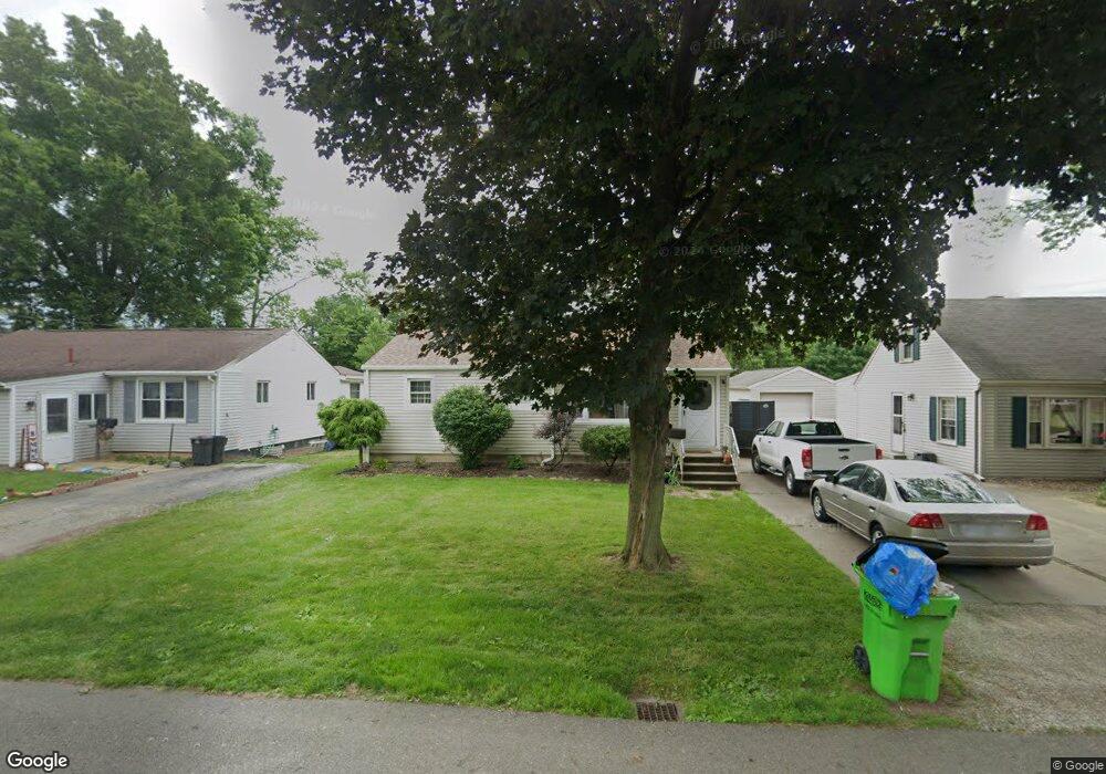
508 Harding Ave SW Massillon, OH 44646
Estimated Value: $159,000 - $194,495
2
Beds
2
Baths
1,299
Sq Ft
$136/Sq Ft
Est. Value
About This Home
This home is located at 508 Harding Ave SW, Massillon, OH 44646 and is currently estimated at $176,374, approximately $135 per square foot. 508 Harding Ave SW is a home located in Stark County with nearby schools including Pfeiffer Intermediate School, Edison Middle School, and Perry High School.
Ownership History
Date
Name
Owned For
Owner Type
Purchase Details
Closed on
Aug 3, 2017
Sold by
Green Christopher
Bought by
Green Christopher and Green Megan F
Current Estimated Value
Purchase Details
Closed on
Jun 4, 2004
Sold by
Reiter Carl H and Reiter Mary L
Bought by
Green Christopher
Purchase Details
Closed on
Mar 29, 2002
Sold by
Reiter Mary L
Bought by
Reiter Mary L and Reiter Carl H
Purchase Details
Closed on
Mar 19, 2002
Sold by
Estate Of Claud F Reiter
Bought by
Reiter Mary L
Create a Home Valuation Report for This Property
The Home Valuation Report is an in-depth analysis detailing your home's value as well as a comparison with similar homes in the area
Home Values in the Area
Average Home Value in this Area
Purchase History
| Date | Buyer | Sale Price | Title Company |
|---|---|---|---|
| Green Christopher | -- | None Available | |
| Green Christopher | $64,500 | -- | |
| Reiter Mary L | -- | -- | |
| Reiter Mary L | -- | -- |
Source: Public Records
Tax History Compared to Growth
Tax History
| Year | Tax Paid | Tax Assessment Tax Assessment Total Assessment is a certain percentage of the fair market value that is determined by local assessors to be the total taxable value of land and additions on the property. | Land | Improvement |
|---|---|---|---|---|
| 2025 | -- | $61,920 | $8,120 | $53,800 |
| 2024 | -- | $61,920 | $8,120 | $53,800 |
| 2023 | $2,151 | $42,880 | $9,660 | $33,220 |
| 2022 | $2,162 | $42,880 | $9,660 | $33,220 |
| 2021 | $2,303 | $42,880 | $9,660 | $33,220 |
| 2020 | $2,013 | $35,950 | $8,120 | $27,830 |
| 2019 | $1,816 | $35,950 | $8,120 | $27,830 |
| 2018 | $1,794 | $35,950 | $8,120 | $27,830 |
| 2017 | $1,840 | $34,170 | $7,600 | $26,570 |
| 2016 | $1,095 | $20,170 | $7,600 | $12,570 |
| 2015 | $1,081 | $19,750 | $7,600 | $12,150 |
| 2014 | $1,061 | $19,080 | $7,350 | $11,730 |
| 2013 | $507 | $19,080 | $7,350 | $11,730 |
Source: Public Records
Map
Nearby Homes
- 212 Westland Ave SW
- 122 Westland Ave SW
- 138 Wrexham Ave SW
- 200 Stewart Ave NW
- 326 Locke Ave NW
- 3626 Hazelbrook St SW
- 334 Locke Ave NW
- 337 Harding Ave NW
- 3834 Clark St SW
- 1205 Sippo Ave SW
- 150 Hinderer Ave SW
- 141 Ingall Ave NW
- 232 Proudley Ave SW
- 0 Clark St SW Unit 5126336
- 3412 Bailey St NW
- 134 Shore Line Ave NW
- 212 Lennox Ave NW
- 1209 Brooklyn Ave SW
- 0 Newport Ave NW Unit 5143464
- 226 Austin Ave NW
- 502 Harding Ave SW
- 514 Harding Ave SW
- 328 Harding Ave SW
- 518 Harding Ave SW
- 509 Locke Ave SW
- 322 Harding Ave SW
- 522 Harding Ave SW
- 513 Locke Ave SW
- 503 Locke Ave SW
- 519 Locke Ave SW
- 318 Harding Ave SW
- 323 Locke Ave SW
- 517 Harding Ave SW
- 509 Harding Ave SW
- 515 Harding Ave SW
- 503 Harding Ave SW
- 329 Harding Ave SW
- 312 Harding Ave SW
- 313 Locke Ave SW
- 323 Harding Ave SW