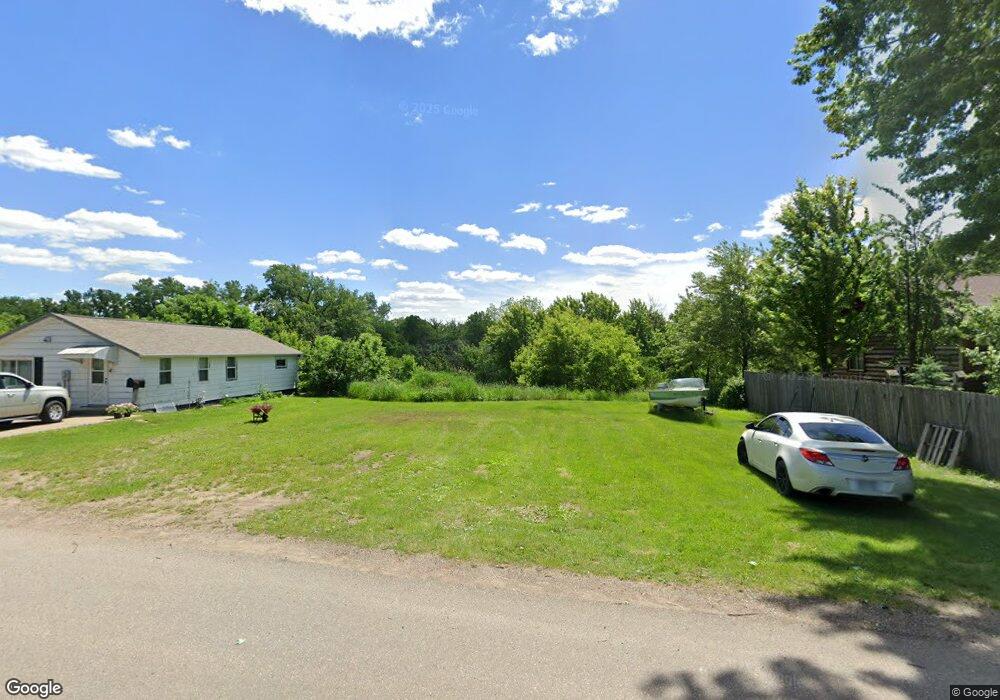
508 High St New Richmond, WI 54017
Estimated Value: $119,060 - $208,000
2
Beds
1
Bath
904
Sq Ft
$173/Sq Ft
Est. Value
About This Home
This home is located at 508 High St, New Richmond, WI 54017 and is currently estimated at $156,765, approximately $173 per square foot. 508 High St is a home located in St. Croix County with nearby schools including New Richmond High School and St. Mary School.
Ownership History
Date
Name
Owned For
Owner Type
Purchase Details
Closed on
Sep 24, 2020
Sold by
Dehart Dennismichael and Dehart Dennis Michael
Bought by
Dennismichael Dehart Trust
Current Estimated Value
Purchase Details
Closed on
Jun 3, 2008
Sold by
Ellstrom Sandra and 508 High Street Residential La
Bought by
Dehart Dennis Michael
Purchase Details
Closed on
Feb 12, 2008
Sold by
Smith Harlen L and Smith Charlene E
Bought by
Ellstrom Sandra and 508 High Street Residential La
Purchase Details
Closed on
Mar 10, 2005
Sold by
Jpmorgan Chase Bank
Bought by
Smith Harlen
Home Financials for this Owner
Home Financials are based on the most recent Mortgage that was taken out on this home.
Original Mortgage
$65,000
Interest Rate
5.71%
Mortgage Type
Commercial
Create a Home Valuation Report for This Property
The Home Valuation Report is an in-depth analysis detailing your home's value as well as a comparison with similar homes in the area
Home Values in the Area
Average Home Value in this Area
Purchase History
| Date | Buyer | Sale Price | Title Company |
|---|---|---|---|
| Dennismichael Dehart Trust | -- | None Available | |
| Dehart Dennis Michael | $60,000 | St Croix County Abstract & T | |
| Ellstrom Sandra | -- | None Available | |
| Smith Harlen | $35,000 | None Available |
Source: Public Records
Mortgage History
| Date | Status | Borrower | Loan Amount |
|---|---|---|---|
| Previous Owner | Smith Harlen | $65,000 |
Source: Public Records
Tax History Compared to Growth
Tax History
| Year | Tax Paid | Tax Assessment Tax Assessment Total Assessment is a certain percentage of the fair market value that is determined by local assessors to be the total taxable value of land and additions on the property. | Land | Improvement |
|---|---|---|---|---|
| 2024 | $6 | $36,600 | $36,600 | $0 |
| 2023 | $607 | $36,600 | $36,600 | $0 |
| 2022 | $587 | $36,600 | $36,600 | $0 |
| 2021 | $207 | $36,600 | $36,600 | $0 |
| 2020 | $212 | $8,500 | $8,500 | $0 |
| 2019 | $201 | $8,500 | $8,500 | $0 |
| 2018 | $201 | $8,500 | $8,500 | $0 |
| 2017 | $194 | $8,500 | $8,500 | $0 |
| 2016 | $194 | $8,500 | $8,500 | $0 |
| 2015 | $197 | $8,500 | $8,500 | $0 |
| 2014 | $193 | $8,500 | $8,500 | $0 |
| 2013 | $189 | $8,500 | $8,500 | $0 |
Source: Public Records
Map
Nearby Homes
- 217 N 2nd St
- 881 Coleman Dr
- 227 N 4th St
- 225 W 2nd St
- XXX 140th Ave
- 305 S Pierson Ave
- 115 N Green Ave
- 6 W North Shore Dr
- 2 W North Shore Dr
- 548 W 4th St
- 3 W North Shore Dr
- 1094 N Shore Dr
- 1133 N Shore Dr
- 935 Johnson Dr
- 114 E 6th St Unit A
- 425 W 8th St Unit 23
- 425 W 8th St Unit 24
- 425 W 8th St Unit 19
- 425 W 8th St Unit 20
- 425 W 8th St Unit 22