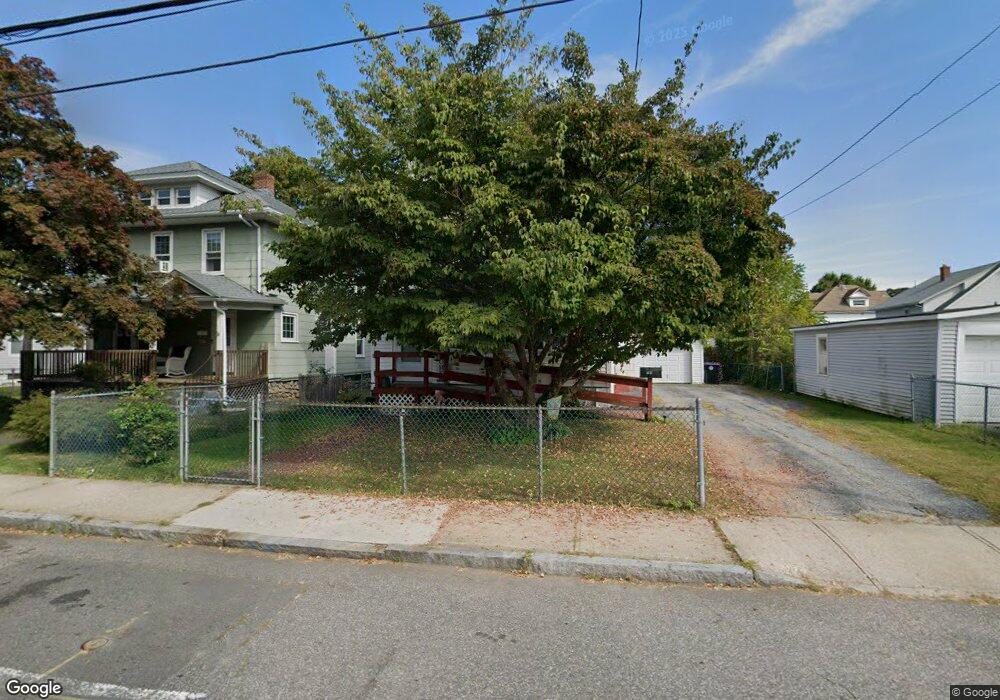
508 Hillside Ave Holyoke, MA 01040
Estimated Value: $262,000 - $302,000
4
Beds
2
Baths
1,456
Sq Ft
$192/Sq Ft
Est. Value
About This Home
This home is located at 508 Hillside Ave, Holyoke, MA 01040 and is currently estimated at $279,164, approximately $191 per square foot. 508 Hillside Ave is a home located in Hampden County with nearby schools including Lt. Elmer J. McMahon Elementary School, Holyoke High School, and Holyoke Community Charter School.
Ownership History
Date
Name
Owned For
Owner Type
Purchase Details
Closed on
Apr 16, 2021
Sold by
Wrobel Jo-Anne M
Bought by
Wrobel Jo-Anne M and Wrobel Allison
Current Estimated Value
Home Financials for this Owner
Home Financials are based on the most recent Mortgage that was taken out on this home.
Original Mortgage
$147,887
Outstanding Balance
$133,524
Interest Rate
3%
Mortgage Type
FHA
Estimated Equity
$145,640
Purchase Details
Closed on
Dec 15, 1994
Sold by
Orsucci Robert J and Orsucci Jane A
Bought by
Wrobel Joanne M
Purchase Details
Closed on
Apr 17, 1987
Sold by
Orsucci Rosolino
Bought by
Orsucci Robert J
Create a Home Valuation Report for This Property
The Home Valuation Report is an in-depth analysis detailing your home's value as well as a comparison with similar homes in the area
Home Values in the Area
Average Home Value in this Area
Purchase History
| Date | Buyer | Sale Price | Title Company |
|---|---|---|---|
| Wrobel Jo-Anne M | -- | None Available | |
| Wrobel Jo-Anne M | -- | None Available | |
| Wrobel Joanne M | $80,000 | -- | |
| Wrobel Joanne M | $80,000 | -- | |
| Orsucci Robert J | $50,000 | -- |
Source: Public Records
Mortgage History
| Date | Status | Borrower | Loan Amount |
|---|---|---|---|
| Open | Wrobel Jo-Anne M | $147,887 | |
| Closed | Wrobel Jo-Anne M | $147,887 | |
| Previous Owner | Orsucci Robert J | $128,834 | |
| Previous Owner | Orsucci Robert J | $23,000 | |
| Previous Owner | Orsucci Robert J | $92,650 |
Source: Public Records
Tax History Compared to Growth
Tax History
| Year | Tax Paid | Tax Assessment Tax Assessment Total Assessment is a certain percentage of the fair market value that is determined by local assessors to be the total taxable value of land and additions on the property. | Land | Improvement |
|---|---|---|---|---|
| 2025 | $4,021 | $230,300 | $42,700 | $187,600 |
| 2024 | $3,786 | $199,800 | $40,800 | $159,000 |
| 2023 | $3,617 | $192,800 | $40,800 | $152,000 |
| 2022 | $3,157 | $163,900 | $40,800 | $123,100 |
| 2021 | $2,960 | $153,600 | $37,200 | $116,400 |
| 2020 | $2,807 | $147,100 | $37,200 | $109,900 |
| 2019 | $2,718 | $140,900 | $37,200 | $103,700 |
| 2018 | $2,604 | $135,600 | $37,200 | $98,400 |
| 2017 | $2,599 | $135,600 | $37,200 | $98,400 |
| 2016 | $2,604 | $136,200 | $38,200 | $98,000 |
| 2015 | $2,525 | $132,600 | $38,200 | $94,400 |
Source: Public Records
Map
Nearby Homes
- 502 Hillside Ave
- 71 Westfield Rd
- 498 Hillside Ave
- 97 Merrick Ave
- 67 Westfield Rd
- 79 Merrick Ave
- 81 Westfield Rd
- 494 Hillside Ave
- 65 Westfield Rd
- 505 Hillside Ave Unit 507
- 497 Hillside Ave
- 493 Hillside Ave
- 490 Hillside Ave
- 83 Westfield Rd
- 76 Westfield Rd Unit 78
- 76 Westfield Rd Unit 2
- 76 Westfield Rd Unit 1
- 75 Merrick Ave
- 70 Westfield Rd Unit 72
- 78 Westfield Rd Unit 2