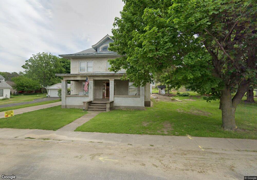
508 N Main St Port Byron, IL 61275
Estimated Value: $323,000 - $364,000
--
Bed
--
Bath
2,202
Sq Ft
$154/Sq Ft
Est. Value
About This Home
This home is located at 508 N Main St, Port Byron, IL 61275 and is currently estimated at $339,375, approximately $154 per square foot. 508 N Main St is a home located in Rock Island County with nearby schools including Riverdale Elementary School, Riverdale Middle School, and Riverdale Senior High School.
Create a Home Valuation Report for This Property
The Home Valuation Report is an in-depth analysis detailing your home's value as well as a comparison with similar homes in the area
Home Values in the Area
Average Home Value in this Area
Tax History Compared to Growth
Tax History
| Year | Tax Paid | Tax Assessment Tax Assessment Total Assessment is a certain percentage of the fair market value that is determined by local assessors to be the total taxable value of land and additions on the property. | Land | Improvement |
|---|---|---|---|---|
| 2024 | $9,410 | $130,066 | $12,237 | $117,829 |
| 2023 | $9,410 | $62,082 | $11,227 | $50,855 |
| 2022 | $4,231 | $53,753 | $10,708 | $43,045 |
| 2021 | $4,138 | $50,951 | $10,150 | $40,801 |
| 2020 | $4,076 | $50,198 | $10,000 | $40,198 |
| 2019 | $4,088 | $50,198 | $10,000 | $40,198 |
| 2018 | $3,982 | $49,750 | $10,815 | $38,935 |
| 2017 | $3,922 | $49,750 | $10,815 | $38,935 |
| 2016 | $3,888 | $49,063 | $10,666 | $38,397 |
| 2015 | $3,779 | $47,253 | $10,272 | $36,981 |
| 2014 | $749 | $46,327 | $10,071 | $36,256 |
| 2013 | $749 | $46,327 | $10,071 | $36,256 |
Source: Public Records
Map
Nearby Homes