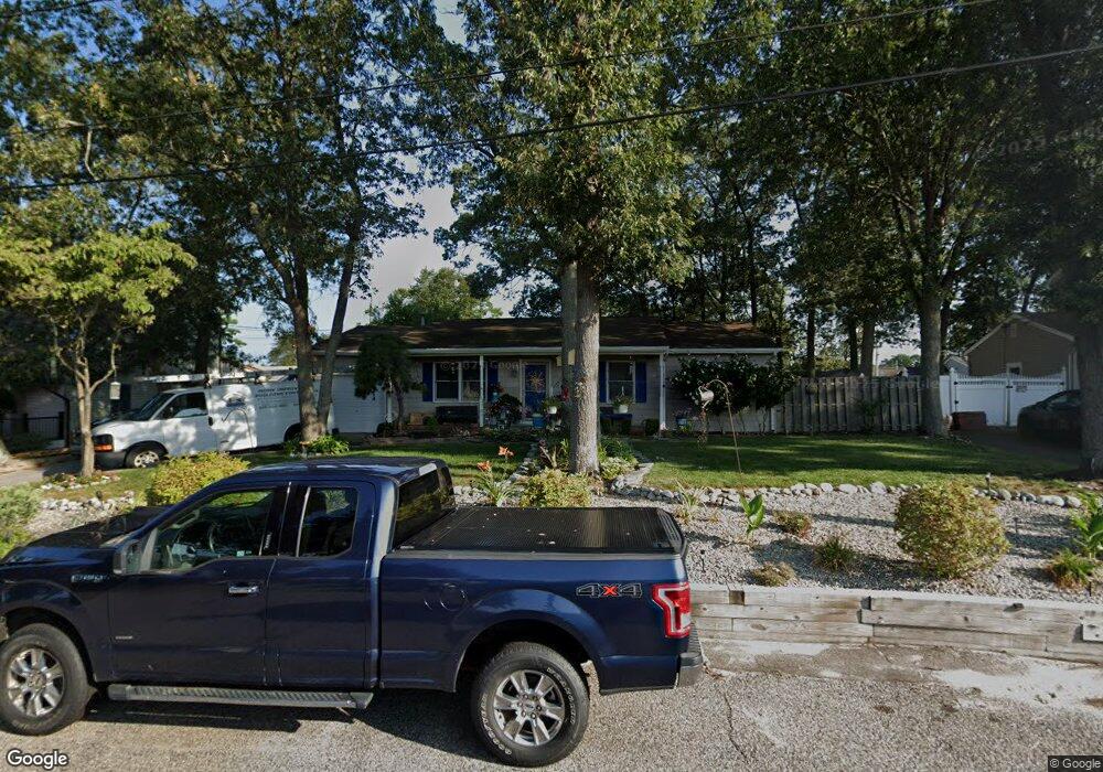
508 Nantucket Rd Forked River, NJ 08731
Estimated Value: $358,166 - $431,000
3
Beds
2
Baths
1,272
Sq Ft
$317/Sq Ft
Est. Value
About This Home
This home is located at 508 Nantucket Rd, Forked River, NJ 08731 and is currently estimated at $403,042, approximately $316 per square foot. 508 Nantucket Rd is a home located in Ocean County with nearby schools including Lacey Township High School.
Ownership History
Date
Name
Owned For
Owner Type
Purchase Details
Closed on
Jun 25, 2002
Current Estimated Value
Purchase Details
Closed on
Sep 23, 1997
Sold by
Middleton Duane and Masters Manuel R
Bought by
Middleton Duane
Home Financials for this Owner
Home Financials are based on the most recent Mortgage that was taken out on this home.
Original Mortgage
$91,462
Interest Rate
7.28%
Mortgage Type
FHA
Purchase Details
Closed on
Jun 26, 1996
Sold by
Scullion Kevin
Bought by
Middleton Duane and Masters Manuel
Home Financials for this Owner
Home Financials are based on the most recent Mortgage that was taken out on this home.
Original Mortgage
$92,000
Interest Rate
8.05%
Mortgage Type
FHA
Create a Home Valuation Report for This Property
The Home Valuation Report is an in-depth analysis detailing your home's value as well as a comparison with similar homes in the area
Home Values in the Area
Average Home Value in this Area
Purchase History
| Date | Buyer | Sale Price | Title Company |
|---|---|---|---|
| -- | -- | -- | |
| Middleton Duane | -- | Fidelity National Title Ins | |
| Middleton Duane | $95,000 | -- |
Source: Public Records
Mortgage History
| Date | Status | Borrower | Loan Amount |
|---|---|---|---|
| Previous Owner | Middleton Duane | $91,462 | |
| Previous Owner | Middleton Duane | $92,000 |
Source: Public Records
Tax History
| Year | Tax Paid | Tax Assessment Tax Assessment Total Assessment is a certain percentage of the fair market value that is determined by local assessors to be the total taxable value of land and additions on the property. | Land | Improvement |
|---|---|---|---|---|
| 2025 | $4,891 | $193,000 | $82,000 | $111,000 |
| 2024 | $4,572 | $193,000 | $82,000 | $111,000 |
Source: Public Records
Map
Nearby Homes
- 615 Beach Blvd
- 404 Beach Blvd
- 10 Dolphin Ct
- 635 Oakwood Dr
- 72 Saltspray Dr
- 69 Saltspray Dr
- 75 Saltspray Dr
- 79 Saltspray Dr
- 217 Nantucket Rd
- 634 Fairview Ln
- 463 Ensign Rd
- 703 Chesapeake Dr
- 417 Riverview Rd
- 123 Oakwood Place
- 9 Hollywood Blvd S
- 809 Pensacola Rd
- 22 Saltspray Dr
- 1003 Kohala Dr
- 102 Maria Loretta Ln
- 126 Bay Ave
- 506 Nantucket Rd
- 512 Nantucket Rd
- 507 Beach Blvd
- 509 Beach Blvd
- 504 Nantucket Rd
- 511 Beach Blvd
- 507 Nantucket Rd
- 505 Nantucket Rd
- 514 Nantucket Rd
- 505 Beach Blvd
- 513 Beach Blvd
- 725 Palm Beach Dr
- 511 Nantucket Rd
- 501 Beach Blvd
- 729 Palm Beach Dr
- 516 Nantucket Rd
- 515 Beach Blvd
- 506 N Shore Dr
- 509 Middle Branch Dr
- 504 N Shore Dr
Your Personal Tour Guide
Ask me questions while you tour the home.