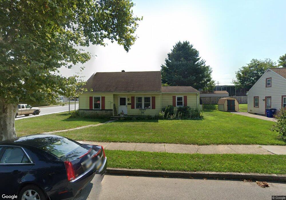
508 Prince St Littlestown, PA 17340
Estimated Value: $261,000 - $309,000
3
Beds
3
Baths
1,652
Sq Ft
$172/Sq Ft
Est. Value
About This Home
This home is located at 508 Prince St, Littlestown, PA 17340 and is currently estimated at $284,879, approximately $172 per square foot. 508 Prince St is a home located in Adams County with nearby schools including Rolling Acres El School, Maple Avenue Middle School, and Littlestown Senior High School.
Ownership History
Date
Name
Owned For
Owner Type
Purchase Details
Closed on
Jul 6, 2021
Sold by
Spangenberg Karri E and Reed Jeffrey M
Bought by
Reed Karri E and Spangenberg Karri E
Current Estimated Value
Purchase Details
Closed on
May 20, 2016
Sold by
Spangenberg Karrie E and Marshall James E
Bought by
Spangenberg Karrie E
Purchase Details
Closed on
Sep 6, 2013
Sold by
Spangenberg Brett I and Spangenberg Karri E
Bought by
Spangenberg Karri E
Create a Home Valuation Report for This Property
The Home Valuation Report is an in-depth analysis detailing your home's value as well as a comparison with similar homes in the area
Home Values in the Area
Average Home Value in this Area
Purchase History
| Date | Buyer | Sale Price | Title Company |
|---|---|---|---|
| Reed Karri E | -- | None Available | |
| Spangenberg Karrie E | -- | None Available | |
| Spangenberg Karri E | -- | None Available |
Source: Public Records
Tax History Compared to Growth
Tax History
| Year | Tax Paid | Tax Assessment Tax Assessment Total Assessment is a certain percentage of the fair market value that is determined by local assessors to be the total taxable value of land and additions on the property. | Land | Improvement |
|---|---|---|---|---|
| 2025 | $4,108 | $178,700 | $26,200 | $152,500 |
| 2024 | $3,959 | $178,700 | $26,200 | $152,500 |
| 2023 | $3,805 | $178,700 | $26,200 | $152,500 |
| 2022 | $3,782 | $178,700 | $26,200 | $152,500 |
| 2021 | $3,670 | $178,700 | $26,200 | $152,500 |
| 2020 | $3,626 | $178,700 | $26,200 | $152,500 |
| 2019 | $3,518 | $178,700 | $26,200 | $152,500 |
| 2018 | $3,454 | $178,700 | $26,200 | $152,500 |
| 2017 | $3,365 | $178,700 | $26,200 | $152,500 |
| 2016 | -- | $178,700 | $26,200 | $152,500 |
| 2015 | -- | $178,700 | $26,200 | $152,500 |
| 2014 | -- | $178,700 | $26,200 | $152,500 |
Source: Public Records
Map
Nearby Homes
- 440 N Queen St
- 58 N Gala Unit 397
- 140 Apple Grove Ln Unit 425
- 135 Apple Grove Ln Unit 438
- 162 Newark St
- 20c Locust Dr
- 0 Locust Dr Unit PAAD2015910
- 20 Locust Dr
- 58 Windsor Ct
- 48 Windsor Ct
- 52 Stayman Way Unit 81
- 161 Stoners Cir
- 22 Rita Marie Ave
- 61 E King St
- 129 W King St
- 115 Charles St
- 117 Charles St
- 211 E King St
- 41 Smith Cir
- 449 Glenwyn Dr
- 512 Prince St
- 22 Carroll St
- 516 Prince St
- 448 Prince St Unit 69
- 444 Prince St
- 23 Carroll St
- 520 Prince St Unit 64
- 505 Prince St
- 509 Prince St
- 513 Prince St Unit 44
- 449 Prince St
- 519 Prince St
- 524 Prince St Unit 63
- 436 Prince St
- 523 Prince St
- 445 Prince St
- 528 Prince St Unit 62
- 441 Prince St Unit 39
- 432 Prince St
- 529 Prince St Unit 74