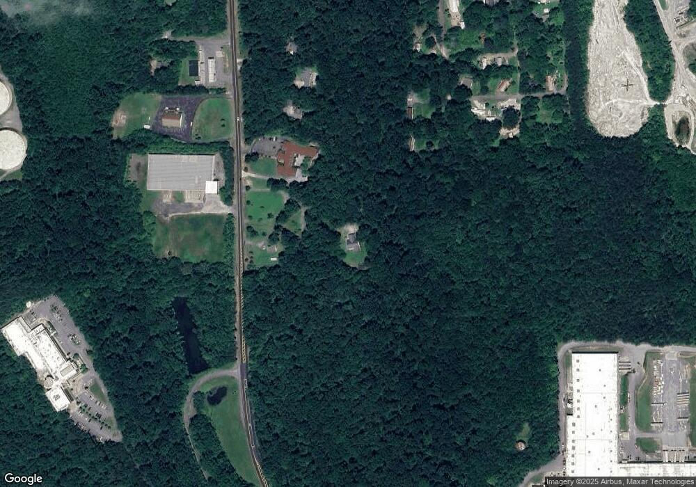
508 Reed Rd Dalton, GA 30720
Estimated Value: $332,000 - $379,181
--
Bed
--
Bath
2,376
Sq Ft
$145/Sq Ft
Est. Value
About This Home
This home is located at 508 Reed Rd, Dalton, GA 30720 and is currently estimated at $344,795, approximately $145 per square foot. 508 Reed Rd is a home located in Whitfield County with nearby schools including Pleasant Grove Elementary School, New Hope Middle School, and Northwest Whitfield County High School.
Ownership History
Date
Name
Owned For
Owner Type
Purchase Details
Closed on
Jun 16, 2020
Sold by
Burchfield Charlotte F
Bought by
Keener Timothy Joe and Tinoco Angela Melgarejo
Current Estimated Value
Home Financials for this Owner
Home Financials are based on the most recent Mortgage that was taken out on this home.
Original Mortgage
$191,468
Outstanding Balance
$169,722
Interest Rate
3.2%
Mortgage Type
FHA
Estimated Equity
$175,073
Purchase Details
Closed on
Jan 7, 2019
Sold by
Burchfield Charlotte F
Bought by
Kinsey John A and Kinsey Samantha M
Purchase Details
Closed on
Sep 14, 2018
Sold by
Burchfield Henry Arthur
Bought by
Burchfield Charlotte F
Purchase Details
Closed on
Feb 23, 2006
Sold by
Not Provided
Bought by
Burchfield Henry and Burchfield Charlotte
Purchase Details
Closed on
May 13, 2003
Sold by
Burchfield Henry and Burchfield Charlotte
Bought by
Burchfield Henry and Burchfield Charlotte
Create a Home Valuation Report for This Property
The Home Valuation Report is an in-depth analysis detailing your home's value as well as a comparison with similar homes in the area
Home Values in the Area
Average Home Value in this Area
Purchase History
| Date | Buyer | Sale Price | Title Company |
|---|---|---|---|
| Keener Timothy Joe | $195,000 | -- | |
| Kinsey John A | $5,000 | -- | |
| Burchfield Charlotte F | -- | -- | |
| Burchfield Henry | -- | -- | |
| Burchfield Henry | -- | -- | |
| Burchfield Henry | -- | -- |
Source: Public Records
Mortgage History
| Date | Status | Borrower | Loan Amount |
|---|---|---|---|
| Open | Keener Timothy Joe | $191,468 |
Source: Public Records
Tax History Compared to Growth
Tax History
| Year | Tax Paid | Tax Assessment Tax Assessment Total Assessment is a certain percentage of the fair market value that is determined by local assessors to be the total taxable value of land and additions on the property. | Land | Improvement |
|---|---|---|---|---|
| 2024 | $2,529 | $125,099 | $13,312 | $111,787 |
| 2023 | $2,529 | $91,237 | $10,629 | $80,608 |
| 2022 | $1,567 | $61,685 | $8,960 | $52,725 |
| 2021 | $1,568 | $61,685 | $8,960 | $52,725 |
| 2020 | $1,882 | $61,685 | $8,960 | $52,725 |
| 2019 | $1,206 | $67,957 | $14,607 | $53,350 |
| 2018 | $1,418 | $73,929 | $12,641 | $61,288 |
| 2017 | $689 | $73,929 | $12,641 | $61,288 |
| 2016 | $564 | $68,763 | $12,641 | $56,122 |
| 2014 | $391 | $68,466 | $12,344 | $56,122 |
| 2013 | -- | $68,466 | $12,344 | $56,122 |
Source: Public Records
Map
Nearby Homes
- 1614 Waring Rd NW
- 0 N Park Dr
- 1899 Middle Summit Dr Unit 98
- 1699 Pin Oak Dr Unit 133
- 1903 Summit View Dr
- 1899 N Summit Dr Unit 66
- 1600 Puryear Dr NW
- 1699 Burnt Oak Dr Unit 195
- 1699 Burnt Oak Dr
- 1903 Middle Summit Dr
- 1702 Chestnut Oak Dr
- 1702 Chestnut Oak Dr Unit 83
- 1706 Chestnut Oak Dr Unit 90
- 1709 Willow Oak Ln Unit 53
- 1696 Red Oak Dr Unit 184
- 1696 Red Oak Dr
- 1696 Red Oak Dr Unit 181
- 000 Reed Rd
- 1713 Brighton Way
- 1730 Brighton Way
- 508 Reed Rd
- 510 Reed Rd
- 575 Laurel Dr
- 207 Staghorn Dr
- 224 Staghorn Dr
- 518 Reed Rd
- 522 Reed Rd
- 194 Staghorn Dr
- 1705 Crabapple Dr NW
- 1701 Crabapple Dr NW
- 524 Reed Rd
- 0 Crabapple Dr
- 123 Staghorn Dr
- 519 Reed Rd
- 521 Reed Rd
- 1805 Swanson Dr NW
- 1811 Swanson Dr NW
- 1821 Crabapple Dr NW Unit 21,PL15
- 572 Brock Dr NW
- 475 Reed Rd
