508 S Beach Rd Point Roberts, WA 98281
Estimated Value: $357,598 - $484,000
2
Beds
1
Bath
1,272
Sq Ft
$310/Sq Ft
Est. Value
About This Home
This home is located at 508 S Beach Rd, Point Roberts, WA 98281 and is currently estimated at $394,150, approximately $309 per square foot. 508 S Beach Rd is a home located in Whatcom County with nearby schools including Point Roberts Primary School, Blaine Middle School, and Blaine High School.
Ownership History
Date
Name
Owned For
Owner Type
Purchase Details
Closed on
Jun 13, 2006
Sold by
The Heirs At Law Of James E Bowens
Bought by
Hylands Ian James and Hylands Nicole
Current Estimated Value
Home Financials for this Owner
Home Financials are based on the most recent Mortgage that was taken out on this home.
Original Mortgage
$130,500
Outstanding Balance
$75,484
Interest Rate
6.57%
Mortgage Type
Purchase Money Mortgage
Estimated Equity
$318,666
Purchase Details
Closed on
May 22, 2002
Sold by
Sellards Robert Lejeune and Sellards Bernardine Jean
Bought by
Bowens James E
Home Financials for this Owner
Home Financials are based on the most recent Mortgage that was taken out on this home.
Original Mortgage
$87,720
Interest Rate
6.74%
Mortgage Type
VA
Create a Home Valuation Report for This Property
The Home Valuation Report is an in-depth analysis detailing your home's value as well as a comparison with similar homes in the area
Home Values in the Area
Average Home Value in this Area
Purchase History
| Date | Buyer | Sale Price | Title Company |
|---|---|---|---|
| Hylands Ian James | $174,280 | Whatcom Land Title | |
| Bowens James E | -- | Whatcom Land Title |
Source: Public Records
Mortgage History
| Date | Status | Borrower | Loan Amount |
|---|---|---|---|
| Open | Hylands Ian James | $130,500 | |
| Previous Owner | Bowens James E | $87,720 |
Source: Public Records
Tax History
| Year | Tax Paid | Tax Assessment Tax Assessment Total Assessment is a certain percentage of the fair market value that is determined by local assessors to be the total taxable value of land and additions on the property. | Land | Improvement |
|---|---|---|---|---|
| 2025 | $2,188 | $258,260 | $103,403 | $154,857 |
| 2024 | $2,105 | $255,699 | $102,383 | $153,316 |
| 2023 | $2,105 | $246,391 | $93,075 | $153,316 |
| 2022 | $1,801 | $225,015 | $85,000 | $140,015 |
| 2021 | $1,794 | $172,151 | $50,829 | $121,322 |
| 2020 | $1,789 | $159,396 | $47,063 | $112,333 |
| 2019 | $1,665 | $152,897 | $45,144 | $107,753 |
| 2018 | $1,519 | $137,453 | $40,584 | $96,869 |
| 2017 | $1,318 | $131,275 | $38,760 | $92,515 |
| 2016 | $1,397 | $128,701 | $38,000 | $90,701 |
| 2015 | $1,486 | $132,777 | $36,712 | $96,065 |
| 2014 | -- | $138,808 | $38,380 | $100,428 |
| 2013 | -- | $132,696 | $36,860 | $95,836 |
Source: Public Records
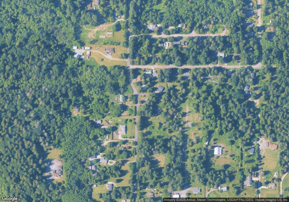
Map
Nearby Homes
- 1940 Apa Rd
- 661 Driftwood Ln
- 2045 Apa Rd
- 1774 Centennial Place
- 0 Deer Rd
- 1920 Patos Way
- 1881 Edwards Dr
- 2138 Benson Rd
- 6 Weasel Run Rd
- 1 Mill Rd
- 2 Mill Rd
- 2202 Seabright Loop
- 58 Seabright Loop
- 1871 Johnson Rd
- 2242 Seabright Loop
- 245 Shady Glen Ave
- 1648 Harbor Seal Dr
- 168 Tyee Dr
- 1630 Edwards Dr
- 1928 Sanders Ct Unit 2
- 520 S Beach Rd
- 528 S Beach Rd
- 504 S Beach Rd
- 1913 Cedar Park Dr
- 500 S Beach Rd
- 511 S Beach Rd
- 1921 Cedar Park Dr
- 1912 Cedar Park Dr
- 1920 Cedar Park Dr
- 1902 Cedar Park Dr
- 1936 Cedar Park Dr
- 539 S Beach Rd
- 1931 Cedar Park Dr
- 1950 Cedar Park Dr
- 1950 Cedar Park Dr
- 1943 Cedar Park Dr
- 1915 N Cedar Park Dr
- 1921 N Cedar Park Dr
- 479 S Beach Rd
- 551 S Beach Rd
Your Personal Tour Guide
Ask me questions while you tour the home.