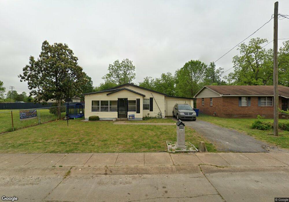
508 Sam Anderson Ave Marked Tree, AR 72365
Estimated Value: $48,399 - $113,000
--
Bed
1
Bath
1,188
Sq Ft
$73/Sq Ft
Est. Value
About This Home
This home is located at 508 Sam Anderson Ave, Marked Tree, AR 72365 and is currently estimated at $86,850, approximately $73 per square foot. 508 Sam Anderson Ave is a home located in Poinsett County with nearby schools including Marked Tree Elementary School, Marked Tree Middle School, and Marked Tree High School.
Ownership History
Date
Name
Owned For
Owner Type
Purchase Details
Closed on
Jul 25, 2006
Sold by
Mitchell Eddie and Mitchell Connie
Bought by
Miles Helen Jean
Current Estimated Value
Purchase Details
Closed on
Jul 19, 2006
Sold by
Bell Louise
Bought by
Miles Helen Jean
Purchase Details
Closed on
Jul 18, 2006
Sold by
Hendrix Eddie and Hendrix Sharon
Bought by
Miles Helen Jean
Purchase Details
Closed on
Jul 14, 2006
Sold by
Hendrix Melvin and Hendrix Jackie
Bought by
Miles Helen Jean
Purchase Details
Closed on
Jul 11, 2006
Sold by
Hendrix Alvin and Blackwell Alvin Henix
Bought by
Miles Helen Jean
Purchase Details
Closed on
Jun 29, 2006
Sold by
Love Willie Mae and Mitchell Inez
Bought by
Miles Helen Jean
Purchase Details
Closed on
Jun 27, 2006
Sold by
May Delose and May Sullivan B
Bought by
Miles Helen Jean
Create a Home Valuation Report for This Property
The Home Valuation Report is an in-depth analysis detailing your home's value as well as a comparison with similar homes in the area
Home Values in the Area
Average Home Value in this Area
Purchase History
| Date | Buyer | Sale Price | Title Company |
|---|---|---|---|
| Miles Helen Jean | -- | -- | |
| Miles Helen Jean | -- | -- | |
| Miles Helen Jean | -- | -- | |
| Miles Helen Jean | -- | -- | |
| Miles Helen Jean | -- | -- | |
| Miles Helen Jean | -- | -- | |
| Miles Helen Jean | -- | -- | |
| Miles Helen Jean | -- | -- |
Source: Public Records
Tax History Compared to Growth
Tax History
| Year | Tax Paid | Tax Assessment Tax Assessment Total Assessment is a certain percentage of the fair market value that is determined by local assessors to be the total taxable value of land and additions on the property. | Land | Improvement |
|---|---|---|---|---|
| 2024 | $207 | $6,510 | $770 | $5,740 |
| 2023 | $20 | $6,510 | $770 | $5,740 |
| 2022 | $20 | $6,510 | $770 | $5,740 |
| 2021 | $20 | $5,490 | $1,030 | $4,460 |
| 2020 | $20 | $5,490 | $1,030 | $4,460 |
| 2019 | $20 | $5,490 | $1,030 | $4,460 |
| 2018 | $20 | $5,490 | $1,030 | $4,460 |
| 2017 | $176 | $5,490 | $1,030 | $4,460 |
| 2016 | $176 | $4,240 | $600 | $3,640 |
| 2015 | $176 | $4,240 | $600 | $3,640 |
| 2014 | $127 | $3,050 | $600 | $2,450 |
Source: Public Records
Map
Nearby Homes
- 506 Sam Anderson Ave
- 510 Sam Anderson Ave
- 502 Sam Anderson Ave
- 505 Johnson St
- 95 Industrial St
- 507 Johnson St
- 501 Johnson St
- 99 Industrial St
- 302 Industrial St
- 417 Sam Anderson Ave
- 450 Monroe St
- 450 Monroe St
- 126 Deacon Jones Ave
- 504 Johnson St
- 413 Sam Anderson Ave
- 102 Wylie St
- 102 Wylie St
- 102 Wylie St
- 409 Johnson St
- 124 Deacon Jones Ave