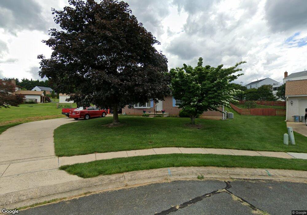
508 Tern Ct Havre de Grace, MD 21078
Estimated Value: $330,698 - $415,000
Studio
2
Baths
1,276
Sq Ft
$302/Sq Ft
Est. Value
About This Home
This home is located at 508 Tern Ct, Havre de Grace, MD 21078 and is currently estimated at $384,925, approximately $301 per square foot. 508 Tern Ct is a home located in Harford County with nearby schools including Meadowvale Elementary School, Havre de Grace Middle School, and Havre de Grace High School.
Ownership History
Date
Name
Owned For
Owner Type
Purchase Details
Closed on
Oct 28, 1992
Sold by
Stephen Homes Inc
Bought by
Stolzenbach Robert C and Stolzenbach Gwendolyn L
Current Estimated Value
Home Financials for this Owner
Home Financials are based on the most recent Mortgage that was taken out on this home.
Original Mortgage
$65,000
Interest Rate
8.23%
Purchase Details
Closed on
May 19, 1992
Sold by
Grace Harbour Limited Partnership
Bought by
Stephen Homes Inc
Create a Home Valuation Report for This Property
The Home Valuation Report is an in-depth analysis detailing your home's value as well as a comparison with similar homes in the area
Home Values in the Area
Average Home Value in this Area
Purchase History
| Date | Buyer | Sale Price | Title Company |
|---|---|---|---|
| Stolzenbach Robert C | $130,000 | -- | |
| Stephen Homes Inc | $19,200 | -- |
Source: Public Records
Mortgage History
| Date | Status | Borrower | Loan Amount |
|---|---|---|---|
| Closed | Stolzenbach Robert C | $65,000 |
Source: Public Records
Tax History
| Year | Tax Paid | Tax Assessment Tax Assessment Total Assessment is a certain percentage of the fair market value that is determined by local assessors to be the total taxable value of land and additions on the property. | Land | Improvement |
|---|---|---|---|---|
| 2025 | $2,044 | $277,267 | $0 | $0 |
| 2024 | $2,044 | $260,400 | $91,200 | $169,200 |
| 2023 | $1,970 | $250,967 | $0 | $0 |
| 2022 | $1,896 | $241,533 | $0 | $0 |
| 2021 | $1,905 | $232,100 | $91,200 | $140,900 |
| 2020 | $1,905 | $230,333 | $0 | $0 |
| 2019 | $1,890 | $228,567 | $0 | $0 |
| 2018 | $1,859 | $226,800 | $94,900 | $131,900 |
| 2017 | $2,261 | $226,800 | $0 | $0 |
| 2016 | -- | $226,800 | $0 | $0 |
| 2015 | $2,365 | $231,200 | $0 | $0 |
| 2014 | $2,365 | $231,200 | $0 | $0 |
Source: Public Records
Map
Nearby Homes
- 200 Decoy Dr
- 225 Heather Way
- 1635 Vista Bay Ct
- 102 Tidewater Dr
- 113 Remington Cir
- 100 Grace Manor Dr
- 102 Grace Manor Dr
- 139 Remington Cir
- 1514 Superior St
- 221 War Admiral Way
- 106 Bayland Dr Unit 4
- 1507 Superior St
- 104 Bayland Dr Unit 2N
- 104 Bayland Dr Unit 2P
- 311 Sunrise Ct
- 202 Man o War Place
- 110 Joehill Dr
- 513 Lighthouse Ct
- 321 Friar Rock Cir
- 1302 Ontario St
Your Personal Tour Guide
Ask me questions while you tour the home.