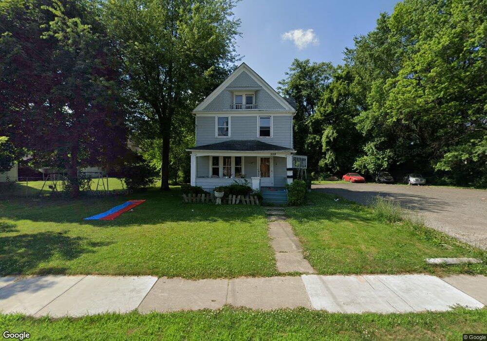
508 W Thornton St Akron, OH 44307
Sherbondy Hill NeighborhoodEstimated Value: $69,465 - $113,000
3
Beds
2
Baths
1,564
Sq Ft
$60/Sq Ft
Est. Value
About This Home
This home is located at 508 W Thornton St, Akron, OH 44307 and is currently estimated at $93,616, approximately $59 per square foot. 508 W Thornton St is a home located in Summit County with nearby schools including Emmanuel Christian Academy and St. Bernard-St. Mary Elementary School.
Ownership History
Date
Name
Owned For
Owner Type
Purchase Details
Closed on
Aug 27, 2015
Sold by
Equity Trust Co
Bought by
Barron Paul W
Current Estimated Value
Purchase Details
Closed on
Oct 1, 2008
Sold by
Glunt Anna Marie
Bought by
Equity Trust Co and Steve Stoller #75849 Ira
Purchase Details
Closed on
Mar 28, 2000
Sold by
Golden James
Bought by
Glunt Anna Marie
Create a Home Valuation Report for This Property
The Home Valuation Report is an in-depth analysis detailing your home's value as well as a comparison with similar homes in the area
Home Values in the Area
Average Home Value in this Area
Purchase History
| Date | Buyer | Sale Price | Title Company |
|---|---|---|---|
| Barron Paul W | $2,000 | Attorney | |
| Equity Trust Co | -- | None Available | |
| Glunt Anna Marie | $12,000 | Exchange Place Title Agency |
Source: Public Records
Tax History Compared to Growth
Tax History
| Year | Tax Paid | Tax Assessment Tax Assessment Total Assessment is a certain percentage of the fair market value that is determined by local assessors to be the total taxable value of land and additions on the property. | Land | Improvement |
|---|---|---|---|---|
| 2025 | $6,426 | $13,476 | $3,651 | $9,825 |
| 2024 | $811 | $13,476 | $3,651 | $9,825 |
| 2023 | $6,426 | $13,476 | $3,651 | $9,825 |
| 2022 | $689 | $7,928 | $2,149 | $5,779 |
| 2021 | $689 | $7,928 | $2,149 | $5,779 |
| 2020 | $681 | $7,930 | $2,150 | $5,780 |
| 2019 | $764 | $8,370 | $2,960 | $5,410 |
| 2018 | $755 | $8,370 | $2,960 | $5,410 |
| 2017 | $736 | $8,370 | $2,960 | $5,410 |
| 2016 | $1,170 | $8,530 | $2,960 | $5,570 |
| 2015 | $736 | $8,530 | $2,960 | $5,570 |
| 2014 | $859 | $8,530 | $2,960 | $5,570 |
| 2013 | -- | $9,460 | $2,960 | $6,500 |
Source: Public Records
Map
Nearby Homes
- 1001 Celina Ave
- 1063 Raymond St
- 949 Raymond St
- 1132 Bristol Terrace
- 1174 La Croix Ave
- 364 Campbell St
- 677 Vernon Odom Blvd
- 721 Vernon Odom Blvd
- 834 Kenyon St
- 963 Penn Ave
- 738 Longview Ave
- 737 Vernon Odom Blvd
- 817 Raymond St
- 699 Fultz St
- 794 Ruth Ave
- 776 Krause Ct
- 985 Diana Ave
- 810 Amherst St
- 639 Bellevue Ave
- 849 Amherst St
- 496 W Thornton St
- 1060 Lane St
- 492 W Thornton St
- 1064 Lane St
- 497 W Thornton St
- 1070 Lane St
- 1072 Lane St
- 1051 Lane St
- 1069 Taylor St
- 1059 Lane St
- 1075 Taylor St
- 1063 Lane St
- 1079 Taylor St
- 1029 Moeller Ave
- 1067 Lane St
- 1078 1/2 Lane St
- 1030 Lane St
- 483 W Thornton St
- 532 W Thornton St Unit 534
- 1078 Lane St