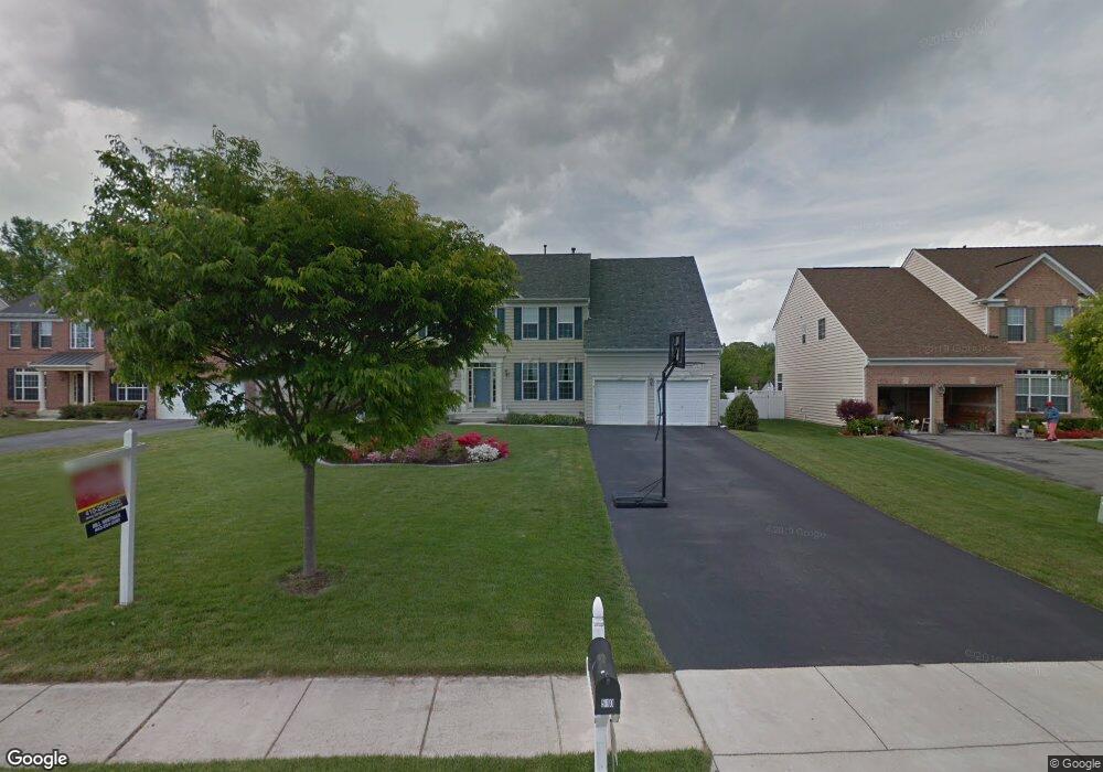
508 Wet Sand Dr Severn, MD 21144
Estimated Value: $850,220 - $906,000
--
Bed
5
Baths
3,696
Sq Ft
$237/Sq Ft
Est. Value
About This Home
This home is located at 508 Wet Sand Dr, Severn, MD 21144 and is currently estimated at $876,305, approximately $237 per square foot. 508 Wet Sand Dr is a home located in Anne Arundel County with nearby schools including Oakwood Elementary School, Corkran Middle School, and Glen Burnie High School.
Ownership History
Date
Name
Owned For
Owner Type
Purchase Details
Closed on
Jan 20, 2005
Sold by
Phillips Matthew E
Bought by
Phillips Matthew E and Phillips Pamela S
Current Estimated Value
Home Financials for this Owner
Home Financials are based on the most recent Mortgage that was taken out on this home.
Original Mortgage
$489,500
Outstanding Balance
$246,487
Interest Rate
5.71%
Mortgage Type
New Conventional
Estimated Equity
$629,818
Purchase Details
Closed on
Jan 15, 2004
Sold by
Beazer Homes Corp
Bought by
Phillips Matthew E
Create a Home Valuation Report for This Property
The Home Valuation Report is an in-depth analysis detailing your home's value as well as a comparison with similar homes in the area
Home Values in the Area
Average Home Value in this Area
Purchase History
| Date | Buyer | Sale Price | Title Company |
|---|---|---|---|
| Phillips Matthew E | -- | -- | |
| Phillips Matthew E | $532,135 | -- |
Source: Public Records
Mortgage History
| Date | Status | Borrower | Loan Amount |
|---|---|---|---|
| Open | Phillips Matthew E | $489,500 | |
| Closed | Phillips Matthew E | -- |
Source: Public Records
Tax History Compared to Growth
Tax History
| Year | Tax Paid | Tax Assessment Tax Assessment Total Assessment is a certain percentage of the fair market value that is determined by local assessors to be the total taxable value of land and additions on the property. | Land | Improvement |
|---|---|---|---|---|
| 2025 | $8,341 | $751,500 | $194,900 | $556,600 |
| 2024 | $8,341 | $715,867 | $0 | $0 |
| 2023 | $7,902 | $680,233 | $0 | $0 |
| 2022 | $7,166 | $644,600 | $179,900 | $464,700 |
| 2021 | $14,232 | $639,800 | $0 | $0 |
| 2020 | $7,029 | $635,000 | $0 | $0 |
| 2019 | $6,985 | $630,200 | $154,400 | $475,800 |
| 2018 | $6,264 | $617,767 | $0 | $0 |
| 2017 | $6,551 | $605,333 | $0 | $0 |
| 2016 | -- | $592,900 | $0 | $0 |
| 2015 | -- | $589,100 | $0 | $0 |
| 2014 | -- | $585,300 | $0 | $0 |
Source: Public Records
Map
Nearby Homes
- 544 Wet Sand Dr
- 8108 Quarterfield Farms Dr
- 503 S Farm Crossing Rd
- 8118 Quarterfield Road - Sussex K Model
- 8209 Whitebark Ln
- 8155 Ridgely Loop
- 725 Blackhorse Trail
- 910 Wagner Farm Ct
- 884 Oakdale Cir
- 8244 Roanoke Ct
- 8285 Wb And a Rd
- 716 Wagner Farm Rd
- 8218 Daniels Purchase Way
- 1207 Thompson Ave
- 931 Oakdale Cir
- 78 Burns Crossing Rd
- 1503 Fall Moon Dr
- 802 Lucky Rd
- 8109 Beverly Rd
- 95 Edelton Ave
- 510 Wet Sand Dr
- 506 Wet Sand Dr
- 512 Wet Sand Dr
- 8309 Grainfield Rd
- 8307 Grainfield Rd
- 504 Wet Sand Dr
- 8311 Grainfield Rd
- 500 Wet Sand Dr
- 8305 Grainfield Rd
- 514 Wet Sand Dr
- 8303 Grainfield Rd
- 515 Wet Sand Dr
- 0 Grainfield Rd
- 8301 Grainfield Rd
- 8215 Grassland Rd
- 517 Wet Sand Dr
- 502 Grainfield Ct
- 8313 Grainfield Rd
- 8306 Grainfield Rd
- 518 Wet Sand Dr