5080 Colf Rd Unit Bldg-Unit Carleton, MI 48117
Estimated Value: $225,000 - $316,000
Studio
1
Bath
1,344
Sq Ft
$197/Sq Ft
Est. Value
About This Home
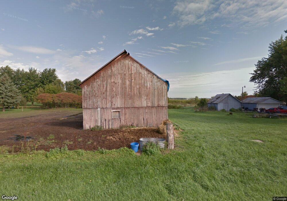
This home is located at 5080 Colf Rd Unit Bldg-Unit, Carleton, MI 48117 and is currently estimated at $265,000, approximately $197 per square foot. 5080 Colf Rd Unit Bldg-Unit is a home located in Monroe County with nearby schools including Airport Senior High School and Carleton Community Baptist.
Ownership History
Date
Name
Owned For
Owner Type
Purchase Details
Closed on
Apr 11, 2019
Sold by
Vandenheuvel and Tonya
Bought by
Dahl Carl and Dahl Natalie
Current Estimated Value
Purchase Details
Closed on
Jan 3, 2018
Sold by
Kondaur Capital Corp
Bought by
Vandenheuvel Timothy and Vandenheuvel Tonya
Create a Home Valuation Report for This Property
The Home Valuation Report is an in-depth analysis detailing your home's value as well as a comparison with similar homes in the area
Purchase History
| Date | Buyer | Sale Price | Title Company |
|---|---|---|---|
| Dahl Carl | $269,900 | First American Title | |
| Vandenheuvel Timothy | $51,000 | Land Castle Title Llc |
Source: Public Records
Tax History
| Year | Tax Paid | Tax Assessment Tax Assessment Total Assessment is a certain percentage of the fair market value that is determined by local assessors to be the total taxable value of land and additions on the property. | Land | Improvement |
|---|---|---|---|---|
| 2025 | $715 | $86,550 | $23,600 | $62,950 |
| 2024 | $693 | $75,550 | $0 | $0 |
| 2023 | $660 | $64,050 | $0 | $0 |
| 2022 | $2,402 | $64,050 | $0 | $0 |
| 2021 | $2,369 | $59,750 | $0 | $0 |
| 2020 | $2,370 | $52,750 | $0 | $0 |
| 2019 | $2,343 | $52,750 | $0 | $0 |
| 2018 | $2,160 | $51,650 | $0 | $0 |
| 2017 | $2,060 | $47,800 | $0 | $0 |
| 2016 | $2,069 | $47,800 | $0 | $0 |
| 2015 | $2,057 | $43,400 | $0 | $0 |
| 2014 | $2,057 | $43,400 | $0 | $0 |
| 2013 | $983 | $42,500 | $0 | $0 |
Source: Public Records
Map
Nearby Homes
- 13680 Martinsville Rd
- 28710 Sumpter Rd
- 13498 Exeter Rd
- 26700 Martinsville Rd
- 0 Hivon Rd
- 0 Carleton West Rd
- 26055 Martinsville Rd
- 43001 Willow Rd
- 8085 W Newburg Rd
- 12259 Eldora St
- 12464 Maxwell Rd
- 1980 Oakville Waltz Rd
- 44235 Wear Rd
- Vl Sherwood Rd
- 8200 Oakville Waltz Rd
- 25330 Carleton West Rd
- 28503 Margaret Ln Unit 1
- 12850 Crane St
- 12361 Spencer Ln
- 1405 Cedarcrest Dr
- 5080 Colf Rd
- 13740 Martinsville Rd
- 5190 Colf Rd
- 5060 Colf Rd
- 13800 Martinsville Rd
- 13735 Martinsville Rd
- 4970 Colf Rd
- 4970 Colf Rd
- 13665 Martinsville Rd
- 13555 Martinsville Rd
- 13850 Martinsville Rd
- 5223 Colf Rd
- 4949 Colf Rd
- 13884 Martinsville Rd
- 4904 Colf Rd
- 13545 Martinsville Rd
- 5341 Colf Rd
- 5360 Colf Rd
- 4836 Colf Rd Unit Bldg-Unit
- 4836 Colf Rd
Your Personal Tour Guide
Ask me questions while you tour the home.