5080 N Hazelrigg Rd Thorntown, IN 46071
Estimated Value: $479,000 - $805,904
4
Beds
2
Baths
2,240
Sq Ft
$273/Sq Ft
Est. Value
About This Home
This home is located at 5080 N Hazelrigg Rd, Thorntown, IN 46071 and is currently estimated at $610,726, approximately $272 per square foot. 5080 N Hazelrigg Rd is a home located in Boone County with nearby schools including Western Boone Junior/Senior High School.
Ownership History
Date
Name
Owned For
Owner Type
Purchase Details
Closed on
Jun 19, 2009
Sold by
Nicley Wes W and Nicley Amy
Bought by
Hebert Jason E
Current Estimated Value
Home Financials for this Owner
Home Financials are based on the most recent Mortgage that was taken out on this home.
Original Mortgage
$177,261
Outstanding Balance
$112,058
Interest Rate
4.86%
Mortgage Type
New Conventional
Estimated Equity
$498,668
Purchase Details
Closed on
Mar 28, 2006
Sold by
Nieley Paul W and Nieley Phyllis
Bought by
Nieley Wes E and Nieley Amy
Create a Home Valuation Report for This Property
The Home Valuation Report is an in-depth analysis detailing your home's value as well as a comparison with similar homes in the area
Home Values in the Area
Average Home Value in this Area
Purchase History
| Date | Buyer | Sale Price | Title Company |
|---|---|---|---|
| Hebert Jason E | -- | -- | |
| Nieley Wes E | -- | -- |
Source: Public Records
Mortgage History
| Date | Status | Borrower | Loan Amount |
|---|---|---|---|
| Open | Hebert Jason E | $177,261 |
Source: Public Records
Tax History Compared to Growth
Tax History
| Year | Tax Paid | Tax Assessment Tax Assessment Total Assessment is a certain percentage of the fair market value that is determined by local assessors to be the total taxable value of land and additions on the property. | Land | Improvement |
|---|---|---|---|---|
| 2025 | $4,904 | $597,300 | $129,400 | $467,900 |
| 2024 | $4,904 | $609,900 | $129,400 | $480,500 |
| 2023 | $5,366 | $556,900 | $129,400 | $427,500 |
| 2022 | $5,371 | $529,900 | $129,400 | $400,500 |
| 2021 | $4,569 | $414,800 | $129,400 | $285,400 |
| 2020 | $4,416 | $400,700 | $129,400 | $271,300 |
| 2019 | $3,442 | $337,200 | $129,400 | $207,800 |
| 2018 | $3,263 | $324,700 | $129,400 | $195,300 |
| 2017 | $3,051 | $311,400 | $129,400 | $182,000 |
| 2016 | $2,790 | $294,400 | $129,400 | $165,000 |
| 2014 | $2,241 | $248,300 | $129,400 | $118,900 |
| 2013 | $2,501 | $244,800 | $129,400 | $115,400 |
Source: Public Records
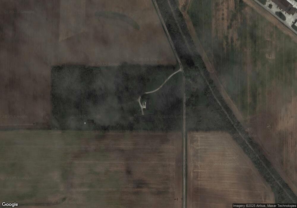
Map
Nearby Homes
- 223 S West St
- 6691 Indiana 47
- 117 N Market St
- 6433 W State Road 47
- 1321 Locust Place
- 1323 Locust Place
- 328 N Front St
- 5779 W State Road 47
- 6139 Westfall Dr
- Ironwood Plan at Northwood Haven
- Spruce Plan at Northwood Haven
- Ashton Plan at Northwood Haven
- Palmetto Plan at Northwood Haven
- Bradford Plan at Northwood Haven
- Aspen II Plan at Northwood Haven
- Empress Plan at Northwood Haven
- Juniper Plan at Northwood Haven
- Chestnut Plan at Northwood Haven
- Norway Plan at Northwood Haven
- Cooper Plan at Northwood Haven
- 5075 N Hazelrigg Rd
- 4789 N Hazelrigg Rd
- 5271 N 700 W
- 4700 N Hazelrigg Rd
- 5479 Serum Plant Rd
- 5065 Serum Plant Rd
- 5251 N State Road 75
- 4999 N State Road 75
- 1901 N 700 W
- 800 N 700 W
- 4440 N Hazelrigg Rd
- 890 S Pearl St
- 4997 Serum Plant Rd
- 802 S Pearl St
- 5501 Evans Rd
- 5520 Evans Rd
- 617 W Franklin (Lots 3 & 4)
- 617 W Franklin (Lots 6 & 7)
- 8253 W State Road 32
- 8259 W State Road 32