5080 Sour Run Rd Wellston, OH 45692
Estimated Value: $181,000 - $316,000
3
Beds
2
Baths
1,920
Sq Ft
$135/Sq Ft
Est. Value
About This Home
This home is located at 5080 Sour Run Rd, Wellston, OH 45692 and is currently estimated at $259,449, approximately $135 per square foot. 5080 Sour Run Rd is a home located in Jackson County with nearby schools including Bundy Elementary School, Wellston Intermediate School, and Wellston Middle School.
Ownership History
Date
Name
Owned For
Owner Type
Purchase Details
Closed on
Jan 18, 2012
Sold by
Hoff Eric J
Bought by
Johnson Joshua
Current Estimated Value
Purchase Details
Closed on
Mar 3, 2006
Sold by
Carte Dannie and Carte Anita
Bought by
Hoff Eric J
Home Financials for this Owner
Home Financials are based on the most recent Mortgage that was taken out on this home.
Original Mortgage
$176,500
Interest Rate
6.2%
Mortgage Type
New Conventional
Purchase Details
Closed on
Jun 7, 2004
Sold by
Kinser Thomas Jackson
Bought by
Carte Dannie and Carte Anita
Purchase Details
Closed on
Jul 2, 2002
Sold by
Carte Dannie and Carte Anita
Bought by
Kinser Thomas Jackson
Purchase Details
Closed on
Mar 27, 2002
Sold by
West Stephen M and West Jennifer
Bought by
Carte Dannie and Carte Anita
Create a Home Valuation Report for This Property
The Home Valuation Report is an in-depth analysis detailing your home's value as well as a comparison with similar homes in the area
Home Values in the Area
Average Home Value in this Area
Purchase History
| Date | Buyer | Sale Price | Title Company |
|---|---|---|---|
| Johnson Joshua | $132,500 | None Available | |
| Hoff Eric J | $176,500 | None Available | |
| Carte Dannie | $177,500 | -- | |
| Kinser Thomas Jackson | $135,000 | -- | |
| Carte Dannie | $9,000 | -- |
Source: Public Records
Mortgage History
| Date | Status | Borrower | Loan Amount |
|---|---|---|---|
| Previous Owner | Hoff Eric J | $176,500 |
Source: Public Records
Tax History Compared to Growth
Tax History
| Year | Tax Paid | Tax Assessment Tax Assessment Total Assessment is a certain percentage of the fair market value that is determined by local assessors to be the total taxable value of land and additions on the property. | Land | Improvement |
|---|---|---|---|---|
| 2024 | $2,145 | $70,070 | $10,280 | $59,790 |
| 2023 | $2,144 | $70,070 | $10,280 | $59,790 |
| 2022 | $2,327 | $60,920 | $8,960 | $51,960 |
| 2021 | $1,965 | $60,920 | $8,960 | $51,960 |
| 2020 | $2,022 | $60,920 | $8,960 | $51,960 |
| 2019 | $1,811 | $52,970 | $7,790 | $45,180 |
| 2018 | $1,746 | $52,970 | $7,790 | $45,180 |
| 2017 | $1,650 | $52,970 | $7,790 | $45,180 |
| 2016 | $1,602 | $50,980 | $7,530 | $43,450 |
| 2015 | $1,600 | $50,980 | $7,530 | $43,450 |
| 2013 | $1,582 | $50,410 | $6,550 | $43,860 |
| 2012 | $1,640 | $50,410 | $6,550 | $43,860 |
Source: Public Records
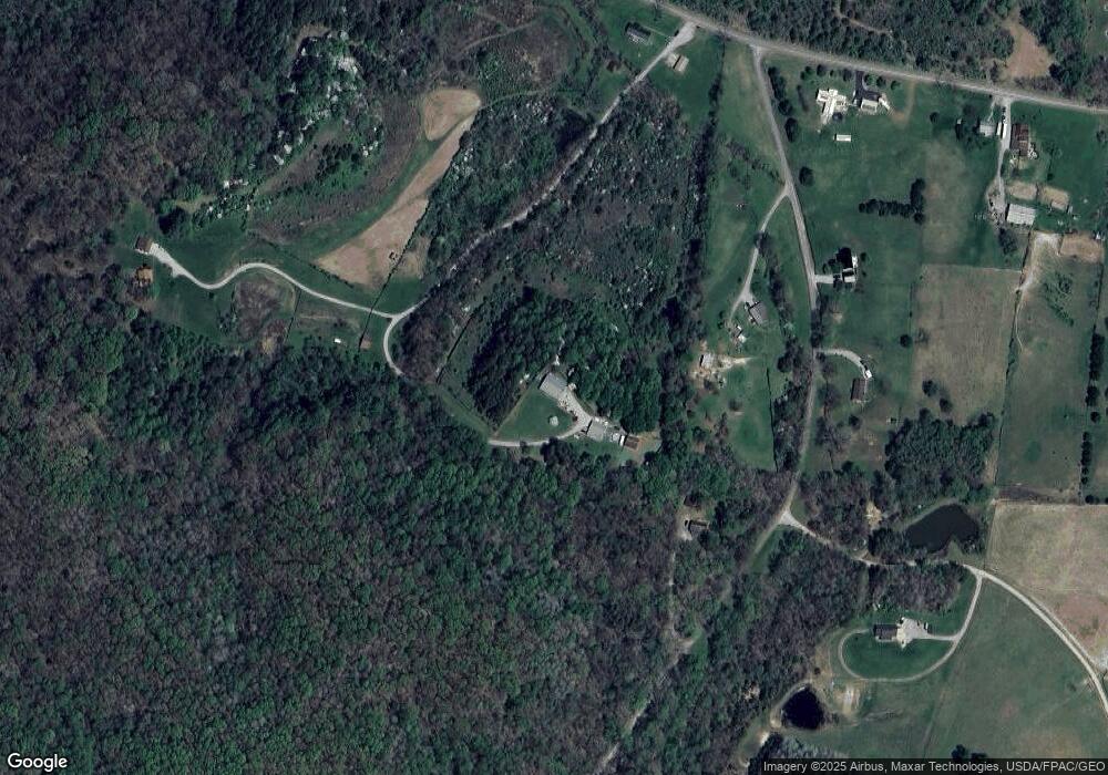
Map
Nearby Homes
- 82 Main St
- 522 Hard Scrapple Rd
- 19490 Ohio 93
- 1882 Oakland Rd
- 2485 Smith Bridge Rd
- 23711 Ohio 93
- 4826 Ohio 788
- 10933 Chillicothe Pike
- 0 Meacham Rd
- 0 Oakland Rd Unit 24343871
- 71 Buel Harris Rd
- 0 Raysville Rd
- 88 Taft St
- 15 Short St
- 998 Lake Katharine Rd
- 11834 Ohio 327
- 5 W Coffman St
- 44 E Vine St
- 759 Fairgreens Rd
- 9 E Vine St
- 683 Wildcat Hollow Rd
- 5068 Sour Run Rd
- 512 Wildcat Hollow Rd
- 620 Wildcat Hollow Rd
- 636 Wildcat Hollow Rd
- 5210 Sour Run Rd
- 5100 Sour Run Rd
- 5252 Sour Run Rd
- 5252 Sour Run Rd
- 5360 Sour Run Rd
- 5488 Sour Run Rd
- 5361 Sour Run Rd
- 508 Sour Run Rd
- 5606 Sour Run Rd
- 4447 Sour Run Rd
- 5948 Sour Run Rd
- 6040 Sour Run Rd
- 4408 Sour Run Rd
- 0 Buffalo Skull Rd
- 5976 Sour Run Rd