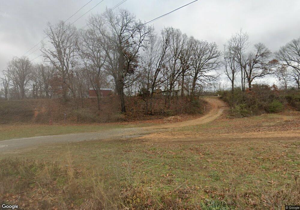
50802 S 710 Rd Colcord, OK 74338
Estimated Value: $81,341 - $198,000
--
Bed
--
Bath
--
Sq Ft
0.97
Acres
About This Home
This home is located at 50802 S 710 Rd, Colcord, OK 74338 and is currently estimated at $141,114. 50802 S 710 Rd is a home with nearby schools including Colcord Elementary School and Colcord High School.
Ownership History
Date
Name
Owned For
Owner Type
Purchase Details
Closed on
Jul 19, 2021
Sold by
Mayhew Brooke
Bought by
Browers Ty and Browers Felicia
Current Estimated Value
Purchase Details
Closed on
Jul 11, 2019
Sold by
Mayhew Brian and Mayhew Brooke
Bought by
Browers Felicia and Browers Ty
Purchase Details
Closed on
Mar 2, 2011
Sold by
Blue Spruce Entitles Llc
Bought by
Mayhew Brian and Mayhew Brooke
Home Financials for this Owner
Home Financials are based on the most recent Mortgage that was taken out on this home.
Original Mortgage
$8,356
Interest Rate
4.73%
Mortgage Type
Future Advance Clause Open End Mortgage
Purchase Details
Closed on
Jan 20, 2011
Sold by
Nationstar Mortgage Llc
Bought by
Blue Spruce Entities Llc
Home Financials for this Owner
Home Financials are based on the most recent Mortgage that was taken out on this home.
Original Mortgage
$8,356
Interest Rate
4.73%
Mortgage Type
Future Advance Clause Open End Mortgage
Create a Home Valuation Report for This Property
The Home Valuation Report is an in-depth analysis detailing your home's value as well as a comparison with similar homes in the area
Home Values in the Area
Average Home Value in this Area
Purchase History
| Date | Buyer | Sale Price | Title Company |
|---|---|---|---|
| Browers Ty | $44,000 | None Available | |
| Browers Felicia | -- | None Available | |
| Mayhew Brian | $10,000 | -- | |
| Blue Spruce Entities Llc | $500 | -- |
Source: Public Records
Mortgage History
| Date | Status | Borrower | Loan Amount |
|---|---|---|---|
| Previous Owner | Mayhew Brian | $8,356 |
Source: Public Records
Tax History Compared to Growth
Tax History
| Year | Tax Paid | Tax Assessment Tax Assessment Total Assessment is a certain percentage of the fair market value that is determined by local assessors to be the total taxable value of land and additions on the property. | Land | Improvement |
|---|---|---|---|---|
| 2024 | $107 | $1,188 | $403 | $785 |
| 2023 | $107 | $1,188 | $403 | $785 |
| 2022 | $109 | $1,208 | $403 | $805 |
| 2021 | $419 | $1,208 | $403 | $805 |
| 2020 | $111 | $1,218 | $403 | $815 |
| 2019 | $111 | $1,228 | $403 | $825 |
Source: Public Records
Map
Nearby Homes
- 50730 S 710 Rd
- 21942 E 510 Rd
- 23586 Oklahoma 116
- Tract 1 E 495 Rd
- 20125 County Road 500
- 0 E 530 Rd Unit 2526833
- 0 E 530 Rd Unit 1300636
- 0 E 530 Rd Unit 2509869
- 52217 S 690 Rd
- 19460 Cr 502
- 23963 Floyd Moore Rd
- 0003 Colcord Rd
- TBD S 680 Rd
- 23540 Arkansas 12
- 0 Ruby Hall Rd Unit 1296833
- 0 Ruby Hall Rd Unit 25-289
- 0 S 680 Rd Unit 2526332
- 24530 & 24540 Coon Hollow Rd
- 53951 734th Rd
- tbd S 734 Rd
- 50810 S 710 Rd
- 50839 S 710 Rd
- 50864 S 710 Rd
- 50871 S 710 Rd
- 23496 State Highway 116
- 50918 S 710 Rd
- 21970 E 510 Rd
- 23398 State Highway 116
- 23398 Oklahoma 116
- 51015 S 710 Rd
- 23377 State Highway 116
- 23496 Oklahoma 116
- 50601 S 710 Rd
- 0 S 710 Rd Unit 642469
- 23586 State Highway 116
- 50741 County Road 714
- 21520 E 510 Rd
- 000 County Road 714
- 50612 Cr 714