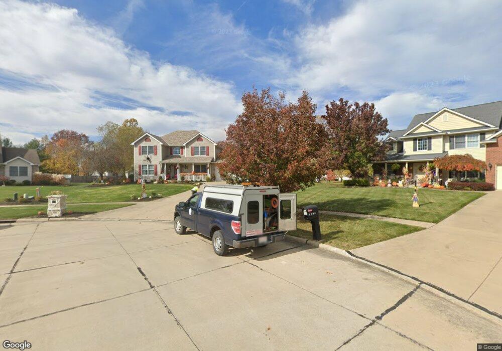
5081 Asterbrook Cir Brunswick, OH 44212
Estimated Value: $418,000 - $461,000
4
Beds
3
Baths
2,218
Sq Ft
$196/Sq Ft
Est. Value
About This Home
This home is located at 5081 Asterbrook Cir, Brunswick, OH 44212 and is currently estimated at $435,320, approximately $196 per square foot. 5081 Asterbrook Cir is a home located in Medina County with nearby schools including Hickory Ridge Elementary School, Willets Middle School, and Brunswick High School.
Ownership History
Date
Name
Owned For
Owner Type
Purchase Details
Closed on
Aug 9, 2002
Sold by
Bg Development Group Inc
Bought by
Luedeke Peter A and Luedeke Janine M
Current Estimated Value
Home Financials for this Owner
Home Financials are based on the most recent Mortgage that was taken out on this home.
Original Mortgage
$199,700
Interest Rate
6.64%
Mortgage Type
Construction
Create a Home Valuation Report for This Property
The Home Valuation Report is an in-depth analysis detailing your home's value as well as a comparison with similar homes in the area
Home Values in the Area
Average Home Value in this Area
Purchase History
| Date | Buyer | Sale Price | Title Company |
|---|---|---|---|
| Luedeke Peter A | $62,700 | -- |
Source: Public Records
Mortgage History
| Date | Status | Borrower | Loan Amount |
|---|---|---|---|
| Closed | Luedeke Peter A | $199,700 |
Source: Public Records
Tax History Compared to Growth
Tax History
| Year | Tax Paid | Tax Assessment Tax Assessment Total Assessment is a certain percentage of the fair market value that is determined by local assessors to be the total taxable value of land and additions on the property. | Land | Improvement |
|---|---|---|---|---|
| 2024 | $6,525 | $114,300 | $21,500 | $92,800 |
| 2023 | $6,525 | $114,300 | $21,500 | $92,800 |
| 2022 | $5,785 | $106,610 | $21,500 | $85,110 |
| 2021 | $5,073 | $83,290 | $16,800 | $66,490 |
| 2020 | $4,608 | $83,290 | $16,800 | $66,490 |
| 2019 | $4,609 | $83,290 | $16,800 | $66,490 |
| 2018 | $4,627 | $80,470 | $19,960 | $60,510 |
| 2017 | $4,633 | $80,470 | $19,960 | $60,510 |
| 2016 | $4,630 | $80,470 | $19,960 | $60,510 |
| 2015 | $4,270 | $74,510 | $18,480 | $56,030 |
| 2014 | $4,260 | $74,510 | $18,480 | $56,030 |
| 2013 | $4,268 | $74,510 | $18,480 | $56,030 |
Source: Public Records
Map
Nearby Homes
- 573 Oakhurst Dr
- 5045 Grafton Rd
- 626 Juniper Ln
- 4949 Orchard Dr
- 4893 Grafton Rd
- 5277 Spruce Pointe Ln
- 480 Bridge Pointe Ln
- 5236 Creekside Blvd Unit H31
- 5236 Creekside Blvd Unit J44
- 5046 Forestland Ct
- 4913 Fallen Leaf Trail
- 4910 Fallen Leaf Trail
- 878 Glenrock Dr
- 642 Topaz Ln
- 5255 Cheyney Ln
- 4928 Treeline Dr
- 833 Substation Rd
- 841 Substation Rd
- 4723 Baywood Dr
- 959 Overton Dr
- 5073 Asterbrook Cir
- 5099 White Pine Dr
- 5090 Asterbrook Cir
- 5084 Grafton Rd
- 5078 Grafton Rd
- 581 Juniper Ln
- 5090 Grafton Rd
- 5109 White Pine Dr
- 5063 Asterbrook Cir
- 5082 Asterbrook Cir
- 5098 Grafton Rd
- 585 Juniper Ln
- 5072 Grafton Rd
- 5070 Asterbrook Cir
- 5109 Grafton Rd
- 5108 Grafton Rd
- 5113 White Pine Dr
- 595 Juniper Ln
- 582 Oakhurst Dr
- 5114 White Pine Dr