5081 Mascaro Dr Unit B Las Vegas, NV 89122
Estimated Value: $302,648 - $319,000
2
Beds
2
Baths
1,066
Sq Ft
$293/Sq Ft
Est. Value
About This Home
This home is located at 5081 Mascaro Dr Unit B, Las Vegas, NV 89122 and is currently estimated at $311,912, approximately $292 per square foot. 5081 Mascaro Dr Unit B is a home located in Clark County with nearby schools including Sister Robert Joseph Bailey Elementary School, Francis H Cortney Junior High School, and Basic Academy of International Studies.
Ownership History
Date
Name
Owned For
Owner Type
Purchase Details
Closed on
Jun 25, 2021
Sold by
Murphy Eileen T and Szklarski Pamela M
Bought by
Murphy Family Trust and Murphy
Current Estimated Value
Purchase Details
Closed on
Sep 16, 2020
Sold by
Mower Constance G and Caulk Joseph M
Bought by
Mower Constance G
Home Financials for this Owner
Home Financials are based on the most recent Mortgage that was taken out on this home.
Original Mortgage
$102,000
Interest Rate
2.9%
Purchase Details
Closed on
Feb 28, 2002
Sold by
Mourer Constance G
Bought by
Caulk Joseph M and Mourer Constance G
Purchase Details
Closed on
Nov 15, 2001
Sold by
Plaster Development Company Inc
Bought by
Mowrer Constance G
Home Financials for this Owner
Home Financials are based on the most recent Mortgage that was taken out on this home.
Original Mortgage
$87,650
Interest Rate
6.62%
Create a Home Valuation Report for This Property
The Home Valuation Report is an in-depth analysis detailing your home's value as well as a comparison with similar homes in the area
Home Values in the Area
Average Home Value in this Area
Purchase History
| Date | Buyer | Sale Price | Title Company |
|---|---|---|---|
| Murphy Family Trust | -- | None Listed On Document | |
| Mower Constance G | -- | Synrgo Inc La | |
| Caulk Joseph M | -- | -- | |
| Mowrer Constance G | $109,591 | First American Title Co |
Source: Public Records
Mortgage History
| Date | Status | Borrower | Loan Amount |
|---|---|---|---|
| Previous Owner | Mower Constance G | $102,000 | |
| Previous Owner | Mowrer Constance G | $87,650 |
Source: Public Records
Tax History Compared to Growth
Tax History
| Year | Tax Paid | Tax Assessment Tax Assessment Total Assessment is a certain percentage of the fair market value that is determined by local assessors to be the total taxable value of land and additions on the property. | Land | Improvement |
|---|---|---|---|---|
| 2025 | $761 | $71,791 | $21,350 | $50,441 |
| 2024 | $739 | $71,791 | $21,350 | $50,441 |
| 2023 | $739 | $72,807 | $25,200 | $47,607 |
| 2022 | $603 | $63,488 | $19,950 | $43,538 |
| 2021 | $697 | $59,723 | $18,200 | $41,523 |
| 2020 | $673 | $58,675 | $17,500 | $41,175 |
| 2019 | $654 | $54,820 | $14,350 | $40,470 |
| 2018 | $635 | $48,290 | $11,550 | $36,740 |
| 2017 | $1,353 | $45,765 | $10,850 | $34,915 |
| 2016 | $603 | $38,334 | $7,350 | $30,984 |
| 2015 | $600 | $28,831 | $5,600 | $23,231 |
| 2014 | $583 | $20,574 | $3,500 | $17,074 |
Source: Public Records
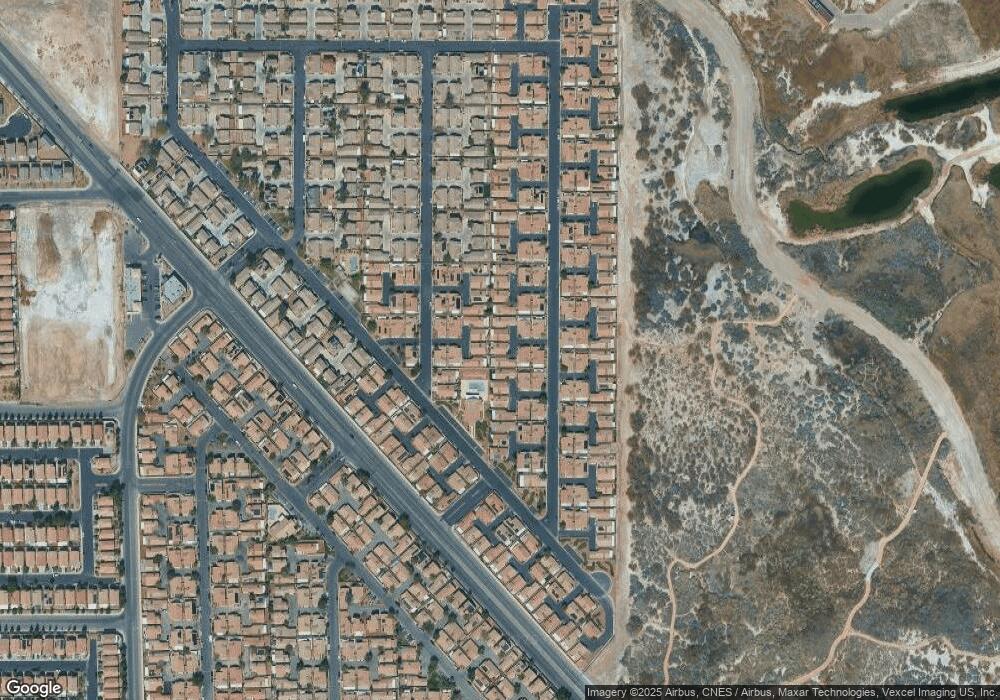
Map
Nearby Homes
- 5061 Droubay Dr
- 5043 Mascaro Dr
- 5129 Midnight Oil Dr
- 5114 Mascaro Dr
- 4971 Droubay Dr Unit A
- 4940 Mascaro Dr
- 5196 Mineral Lake Dr
- 6676 Black Oil Dr
- 5230 Panguitch Dr
- 5236 Jewel Canyon Dr
- 6693 Diamond Care Dr
- 6659 Diamond Care Dr Unit C
- 5279 Mineral Lake Dr Unit C
- 5297 Mineral Lake Dr
- 6483 Brook Cottage Ln
- 5314 Cape Henry St
- 6709 Brick House Ave
- 6495 Chettle House Ln
- 5344 Cape Henry St
- 6443 Burlap Ct
- 5085 Mascaro Dr
- 5077 Mascaro Dr Unit B
- 5103 Mascaro Dr
- 5073 Mascaro Dr
- 5069 Mascaro Dr
- 5082 Droubay Dr
- 5074 Droubay Dr Unit B
- 5093 Mascaro Dr
- 5107 Mascaro Dr
- 5070 Droubay Dr
- 5055 Mascaro Dr
- 5065 Mascaro Dr
- 5095 Mascaro Dr
- 5052 Droubay Dr Unit B
- 5086 Droubay Dr Unit B
- 5059 Mascaro Dr Unit B
- 5051 Mascaro Dr
- 5111 Mascaro Dr
- 5066 Droubay Dr
- 5063 Mascaro Dr