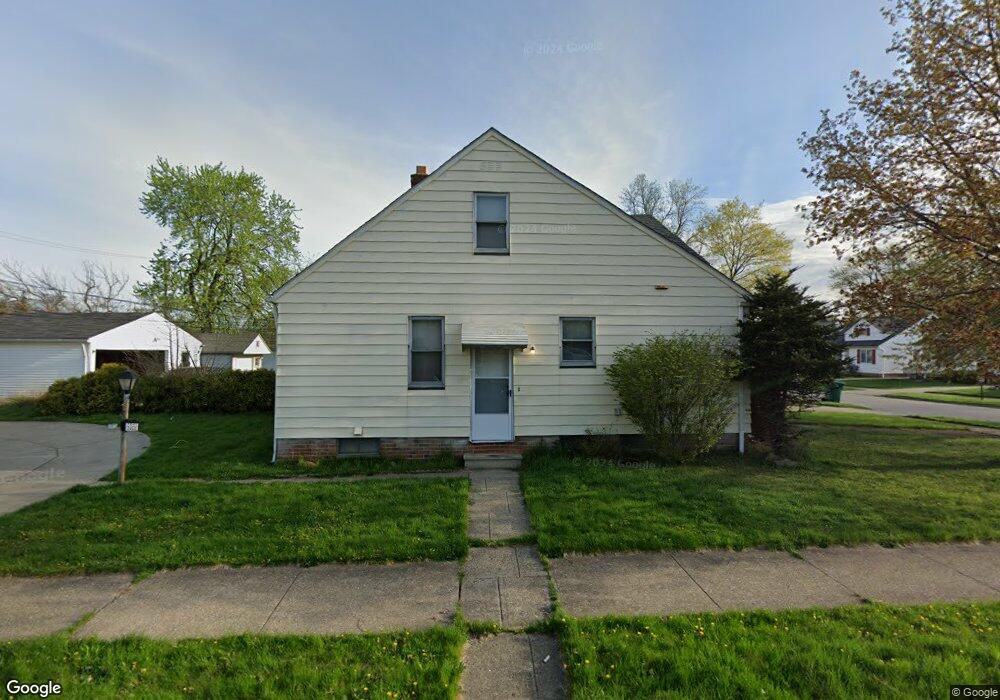
5082 Phiip St Maple Heights, OH 44137
Estimated Value: $133,898 - $161,000
4
Beds
2
Baths
1,272
Sq Ft
$116/Sq Ft
Est. Value
About This Home
This home is located at 5082 Phiip St, Maple Heights, OH 44137 and is currently estimated at $147,475, approximately $115 per square foot. 5082 Phiip St is a home located in Cuyahoga County with nearby schools including Abraham Lincoln Elementary School, Rockside/ J.F. Kennedy School, and Barack Obama School.
Ownership History
Date
Name
Owned For
Owner Type
Purchase Details
Closed on
May 20, 2005
Sold by
Menne William K and Menne Linda J
Bought by
Ruffin Tosha M
Current Estimated Value
Home Financials for this Owner
Home Financials are based on the most recent Mortgage that was taken out on this home.
Original Mortgage
$66,200
Outstanding Balance
$34,672
Interest Rate
5.91%
Mortgage Type
Fannie Mae Freddie Mac
Estimated Equity
$112,803
Purchase Details
Closed on
Nov 13, 1985
Sold by
Bisjack Mary Jane
Bought by
Menne William K
Purchase Details
Closed on
Feb 13, 1984
Sold by
Bicjack Louis A and Bicjack Mary J
Bought by
Bisjack Mary Jane
Purchase Details
Closed on
Jan 1, 1975
Bought by
Bicjack Louis A and Bicjack Mary J
Create a Home Valuation Report for This Property
The Home Valuation Report is an in-depth analysis detailing your home's value as well as a comparison with similar homes in the area
Home Values in the Area
Average Home Value in this Area
Purchase History
| Date | Buyer | Sale Price | Title Company |
|---|---|---|---|
| Ruffin Tosha M | $66,200 | Executive Title Agency | |
| Menne William K | $50,000 | -- | |
| Bisjack Mary Jane | -- | -- | |
| Bisjack Mary Jane | -- | -- | |
| Bicjack Louis A | -- | -- |
Source: Public Records
Mortgage History
| Date | Status | Borrower | Loan Amount |
|---|---|---|---|
| Open | Ruffin Tosha M | $66,200 |
Source: Public Records
Tax History
| Year | Tax Paid | Tax Assessment Tax Assessment Total Assessment is a certain percentage of the fair market value that is determined by local assessors to be the total taxable value of land and additions on the property. | Land | Improvement |
|---|---|---|---|---|
| 2024 | $3,200 | $35,455 | $7,140 | $28,315 |
| 2023 | $2,216 | $20,480 | $4,340 | $16,140 |
| 2022 | $2,208 | $20,480 | $4,340 | $16,140 |
| 2021 | $2,351 | $20,480 | $4,340 | $16,140 |
| 2020 | $2,013 | $15,510 | $3,290 | $12,220 |
| 2019 | $2,001 | $44,300 | $9,400 | $34,900 |
| 2018 | $1,856 | $15,510 | $3,290 | $12,220 |
| 2017 | $1,864 | $14,000 | $3,010 | $10,990 |
| 2016 | $1,803 | $14,000 | $3,010 | $10,990 |
| 2015 | $1,800 | $14,000 | $3,010 | $10,990 |
| 2014 | $1,800 | $15,410 | $3,330 | $12,080 |
Source: Public Records
Map
Nearby Homes
- 5082 Philip Ave
- 17282 Mccracken Rd
- 5031 Cato St
- 5150 Arch St
- 5177 Cato St
- 5231 Philip Ave
- 5204 Anthony St
- 5246 Philip Ave
- 5212 Catherine St
- 5100 Erwin St
- 5239 Arch St
- 5219 Joseph St
- 5210 Theodore St
- 5062 Lee Rd
- 17914 Libby Rd
- 16706 Myrtle Ave
- 4821 E 173rd St
- 18704 Longview Ave
- 16351 Glenburn Ave
- 16610 Priebe Ave
- 5078 Philip Ave
- 5074 Philip Ave
- 5100 Philip Ave
- 5070 Philip Ave
- 5108 Philip Ave
- 5081 Catherine St
- 5066 Philip Ave
- 5101 Catherine St
- 5073 Catherine St
- 5081 Philip Ave
- 5073 Philip Ave
- 5062 Philip Ave
- 5105 Catherine St
- 5069 Catherine St
- 5114 Philip Ave
- 5107 Philip Ave
- 5058 Philip Ave
- 5109 Catherine St
- 5065 Philip Ave
- 5065 Catherine St
Your Personal Tour Guide
Ask me questions while you tour the home.