Estimated Value: $132,000 - $142,000
3
Beds
1
Bath
850
Sq Ft
$161/Sq Ft
Est. Value
About This Home
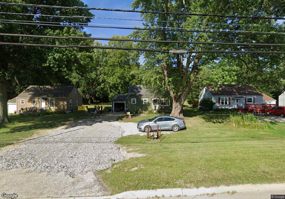
This home is located at 5082 State Route 43, Kent, OH 44240 and is currently estimated at $136,691, approximately $160 per square foot. 5082 State Route 43 is a home located in Portage County with nearby schools including Brimfield Elementary School, Field Middle School, and Field High School.
Ownership History
Date
Name
Owned For
Owner Type
Purchase Details
Closed on
Apr 14, 2004
Sold by
Kyeat Inc
Bought by
State Of Ohio
Current Estimated Value
Purchase Details
Closed on
Dec 23, 2003
Sold by
Kunkle H Colin and Kunkle Lisa
Bought by
Kycat Inc
Purchase Details
Closed on
Aug 27, 2002
Sold by
Leighton Edith L
Bought by
Kunkle H Colin
Home Financials for this Owner
Home Financials are based on the most recent Mortgage that was taken out on this home.
Original Mortgage
$56,000
Interest Rate
6.56%
Mortgage Type
Balloon
Purchase Details
Closed on
Nov 20, 1989
Bought by
Leighton Edith L
Create a Home Valuation Report for This Property
The Home Valuation Report is an in-depth analysis detailing your home's value as well as a comparison with similar homes in the area
Home Values in the Area
Average Home Value in this Area
Purchase History
| Date | Buyer | Sale Price | Title Company |
|---|---|---|---|
| State Of Ohio | $3,775 | -- | |
| Kycat Inc | -- | Portage Lawyers Title | |
| Kunkle H Colin | $70,000 | Approved Statewide Title Age | |
| Leighton Edith L | -- | -- |
Source: Public Records
Mortgage History
| Date | Status | Borrower | Loan Amount |
|---|---|---|---|
| Previous Owner | Kunkle H Colin | $56,000 |
Source: Public Records
Tax History Compared to Growth
Tax History
| Year | Tax Paid | Tax Assessment Tax Assessment Total Assessment is a certain percentage of the fair market value that is determined by local assessors to be the total taxable value of land and additions on the property. | Land | Improvement |
|---|---|---|---|---|
| 2024 | $1,419 | $28,180 | $13,020 | $15,160 |
| 2023 | $1,605 | $25,870 | $13,020 | $12,850 |
| 2022 | $1,834 | $25,870 | $13,020 | $12,850 |
| 2021 | $1,559 | $25,870 | $13,020 | $12,850 |
| 2020 | $1,493 | $22,610 | $13,020 | $9,590 |
| 2019 | $1,481 | $22,610 | $13,020 | $9,590 |
| 2018 | $1,208 | $22,440 | $13,020 | $9,420 |
| 2017 | $1,263 | $22,440 | $13,020 | $9,420 |
| 2016 | $1,239 | $22,440 | $13,020 | $9,420 |
| 2015 | $1,224 | $22,440 | $13,020 | $9,420 |
| 2014 | $1,191 | $22,440 | $13,020 | $9,420 |
| 2013 | $1,165 | $22,440 | $13,020 | $9,420 |
Source: Public Records
Map
Nearby Homes
- Poplar Plan at Woodland Reserve
- Nassau Cove Plan at Woodland Reserve
- V/L Sherman Rd
- 1224 Cedar Ridge Rd
- 1236 Cedar Ridge Rd
- 0 Meloy Rd Unit 5162435
- 1625 S Lincoln St
- 720 Ivan Dr
- 1587 Chadwick Rd
- 4682 State Route 43
- 4837 King Meadow Trail
- 703 Avondale St
- 708 Berkeley St
- 238 Valleyview Dr
- 540 E School St
- 1755 Honeychuck Ln
- 1426 Loop Rd Unit 1426
- 1354 Brimfield Dr
- 561 E School St
- 218 E School St
- 5090 State Route 43
- 5062 State Route 43
- 5060 Ohio 43
- 5054 State Route 43
- 5041 State Route 43
- 5023 State Route 43
- 5023 State Route 43
- 1201 Cedar Ridge Rd Unit 36852980
- 1209 Cedar Ridge Dr
- 1228 Cedar Ridge Dr
- 1236 Cedar Ridge Dr
- 1205 Cedar Ridge Dr
- 5138 State Route 43
- 5005 State Route 43
- 1197 Meloy Rd
- 1257 Meloy Rd
- 4967 State Route 43
- 4965 State Route 43
- 4963 State Route 43
- 5036 Ohio 43